MyTopo
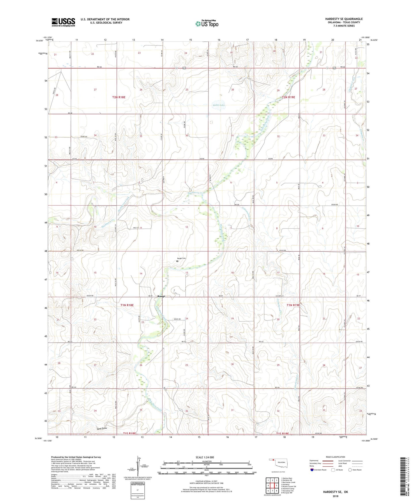
Hardesty SE Oklahoma US Topo Map
Couldn't load pickup availability
2022 topographic map quadrangle Hardesty SE in the states of Oklahoma, Texas. Scale: 1:24000. Based on the newly updated USGS 7.5' US Topo map series, this map is in the following counties: Texas. The map contains contour data, water features, and other items you are used to seeing on USGS maps, but also has updated roads and other features. This is the next generation of topographic maps. Printed on high-quality waterproof paper with UV fade-resistant inks.
Quads adjacent to this one:
West: Hardesty
Northwest: Optima Dam
North: Hardesty NE
Northeast: Red Horse Creek
East: Bryans Corner SW
Southeast: Perryton NW
South: Horseshoe Hill
Southwest: Hansford Camp
This map covers the same area as the classic USGS quad with code o36101e1.
Contains the following named places: Bethel Church, Clark Monument 10, Cottonwood Creek, Hackberry Creek, Range, Range Cemetery, Range Church, Sand Draw, Township of Hackberry, Webb Lake, ZIP Code: 73944