MyTopo
Leonard Oklahoma US Topo Map
Couldn't load pickup availability
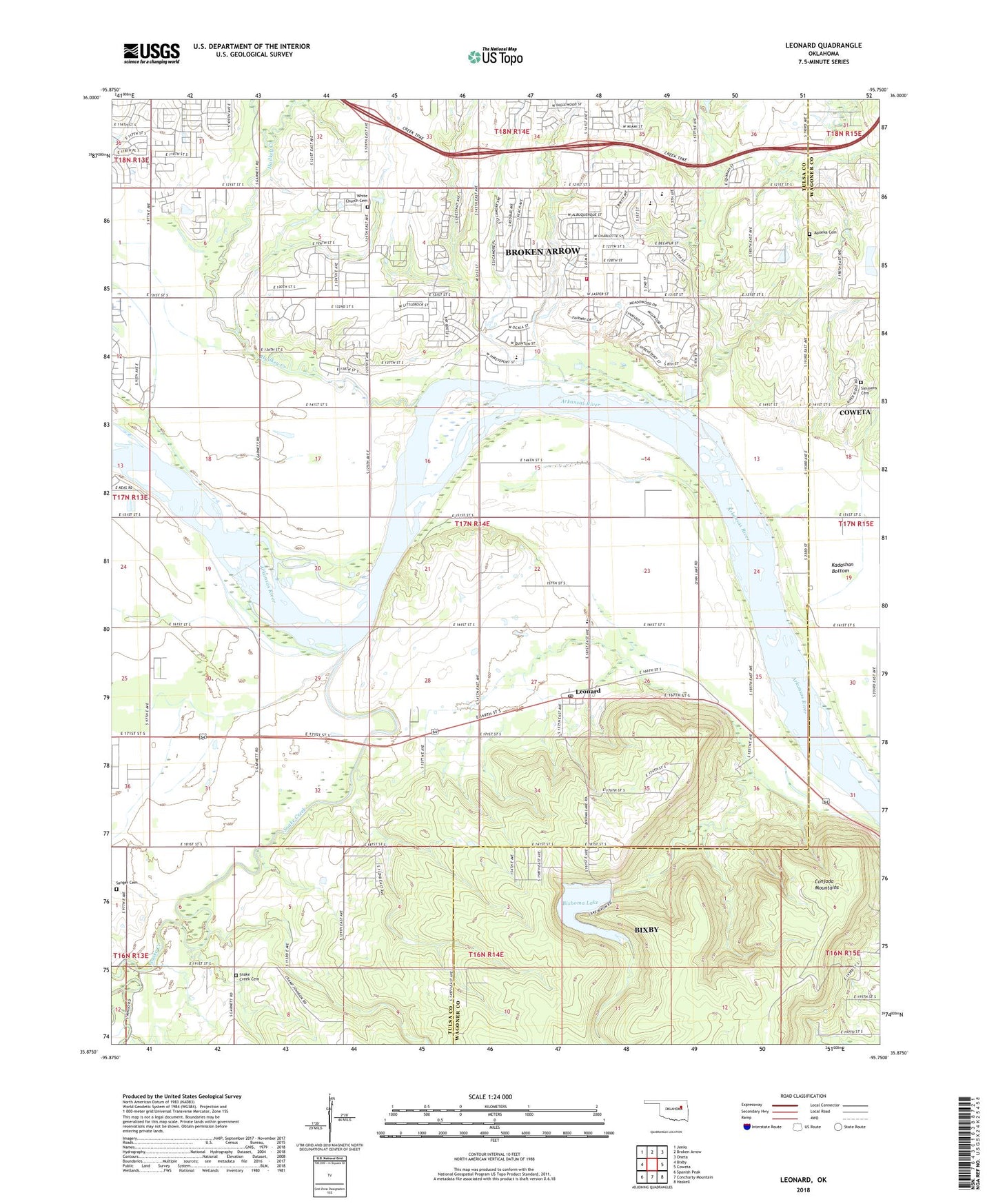
2018 topographic map quadrangle Leonard in the state of Oklahoma. Scale: 1:24000. Based on the newly updated USGS 7.5' US Topo map series, this map is in the following counties: Tulsa, Wagoner. The map contains contour data, water features, and other items you are used to seeing on USGS maps, but also has updated roads and other features. This is the next generation of topographic maps. Printed on high-quality waterproof paper with UV fade-resistant inks.
Quads adjacent to this one:
West: Bixby
Northwest: Jenks
North: Broken Arrow
Northeast: Oneta
East: Coweta
Southeast: Haskell
South: Concharty Mountain
Southwest: Spanish Peak
Contains the following named places: Apueka Cemetery, Aspen Park Baptist Church, Bible Baptist Church, Bixhoma Dam, Bixhoma Lake, Broken Arrow Fire Department Station 3, Broken Arrow Waterworks, Childers Middle School, Conjada Mountains, Grace Free Will Baptist Church, Hailkey Creek, Indian Springs Baptist Church, Indian Springs Elementary School, Indian Springs Plaza, KAKC-AM (Tulsa), Leonard, Leonard Census Designated Place, Leonard Christian Fellowship Church, Leonard Elementary School, Leonard Post Office, Lockridge Cemetery, Sanger Cemetery, Shepherd of the Hills Church, Simmons Cemetery, Snake Creek, Snake Creek Cemetery, Spring Creek Elementary School, Township of Bixby, Township of Willow Springs, Trinity Lutheran Church, Vernon School, White Church, ZIP Code: 74011