MyTopo
Logan Oklahoma US Topo Map
Couldn't load pickup availability
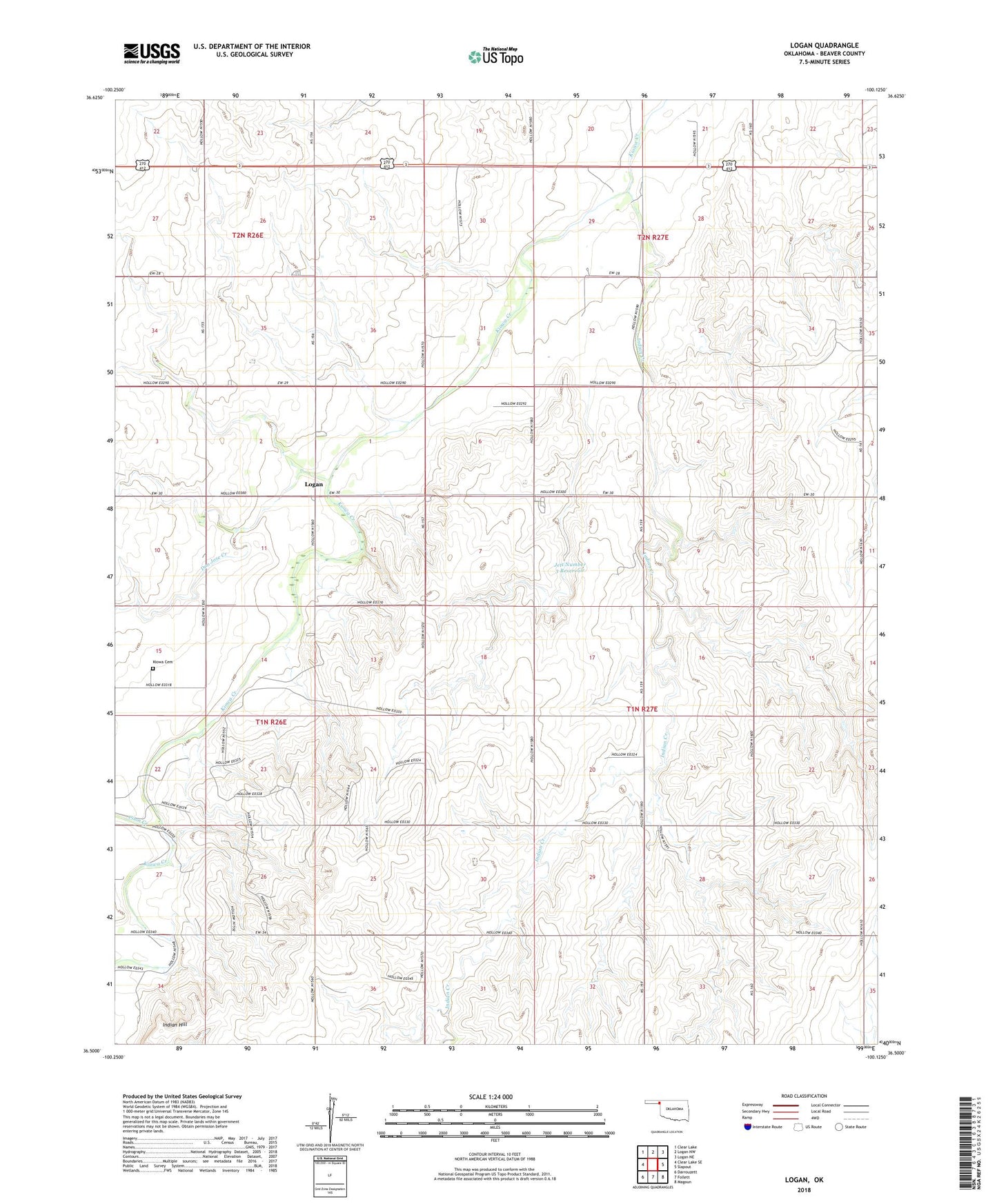
2022 topographic map quadrangle Logan in the states of Oklahoma, Texas. Scale: 1:24000. Based on the newly updated USGS 7.5' US Topo map series, this map is in the following counties: Beaver. The map contains contour data, water features, and other items you are used to seeing on USGS maps, but also has updated roads and other features. This is the next generation of topographic maps. Printed on high-quality waterproof paper with UV fade-resistant inks.
Quads adjacent to this one:
West: Clear Lake SE
Northwest: Clear Lake
North: Logan NW
Northeast: Logan NE
East: Slapout
Southeast: Magoun
South: Follett
Southwest: Darrouzett
This map covers the same area as the classic USGS quad with code o36100e2.
Contains the following named places: Coon Creek, Don Jose Creek, Independent School, Indian Creek, Indian Hill, Jett Number 3 Dam, Jett Number 3 Reservoir, Kiowa Cemetery, Logan