MyTopo
Lovell Oklahoma US Topo Map
Couldn't load pickup availability
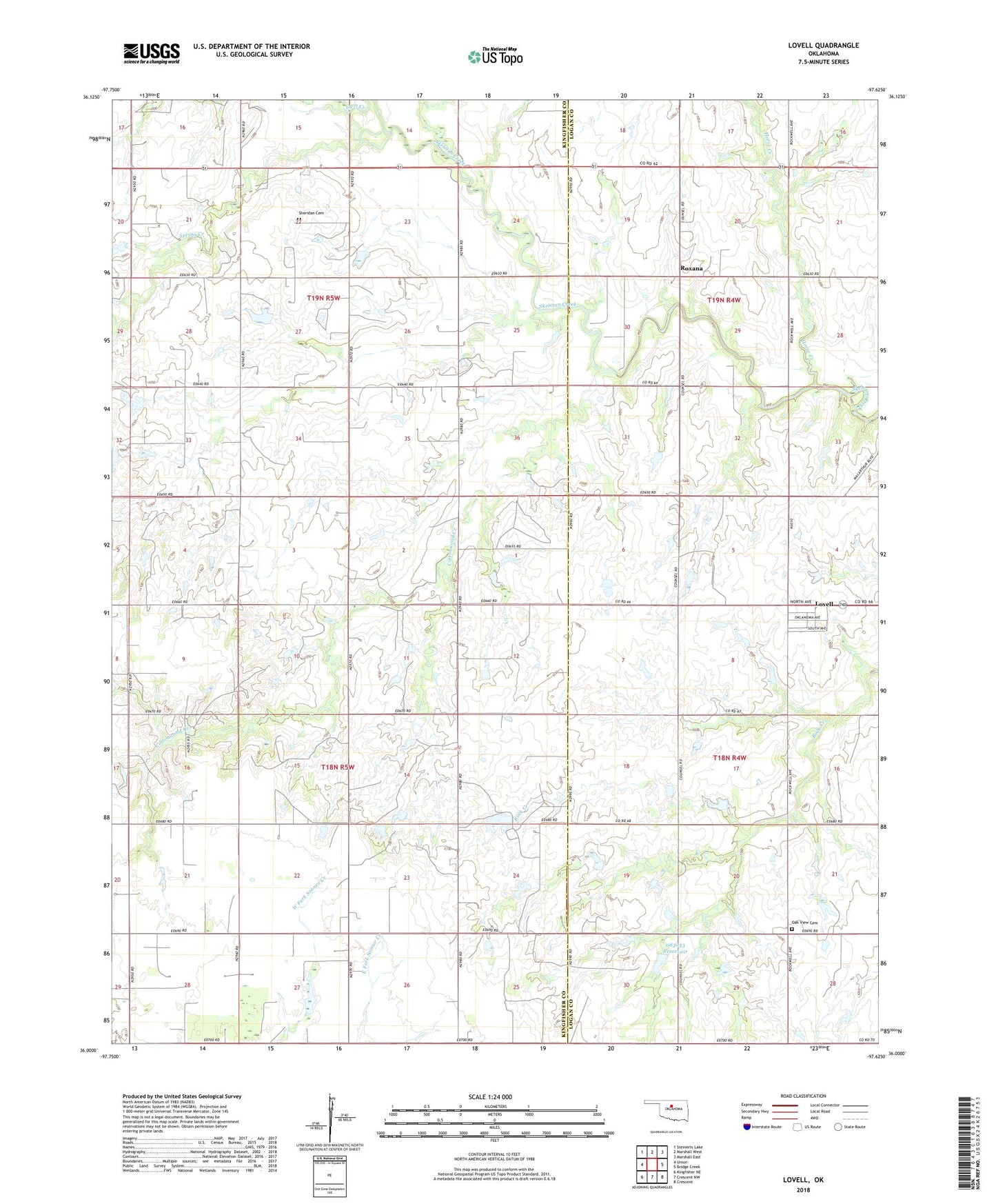
2018 topographic map quadrangle Lovell in the state of Oklahoma. Scale: 1:24000. Based on the newly updated USGS 7.5' US Topo map series, this map is in the following counties: Kingfisher, Logan. The map contains contour data, water features, and other items you are used to seeing on USGS maps, but also has updated roads and other features. This is the next generation of topographic maps. Printed on high-quality waterproof paper with UV fade-resistant inks.
Quads adjacent to this one:
West: Union
Northwest: Steinerts Lake
North: Marshall West
Northeast: Marshall East
East: Bridge Creek
Southeast: Crescent
South: Crescent NW
Southwest: Kingfisher NE
Contains the following named places: Cottonwood Creek, Horse Creek, Lovell, Lovell Census Designated Place, Lyon Creek, Oak View Cemetery, Oknoname 083053 Dam, Oknoname 083053 Reservoir, Roxana, Sheridan Cemetery, Siegmanns Airport, Spring Creek, Township of Columbia, Township of Skeleton