MyTopo
Rosston NW Oklahoma US Topo Map
Couldn't load pickup availability
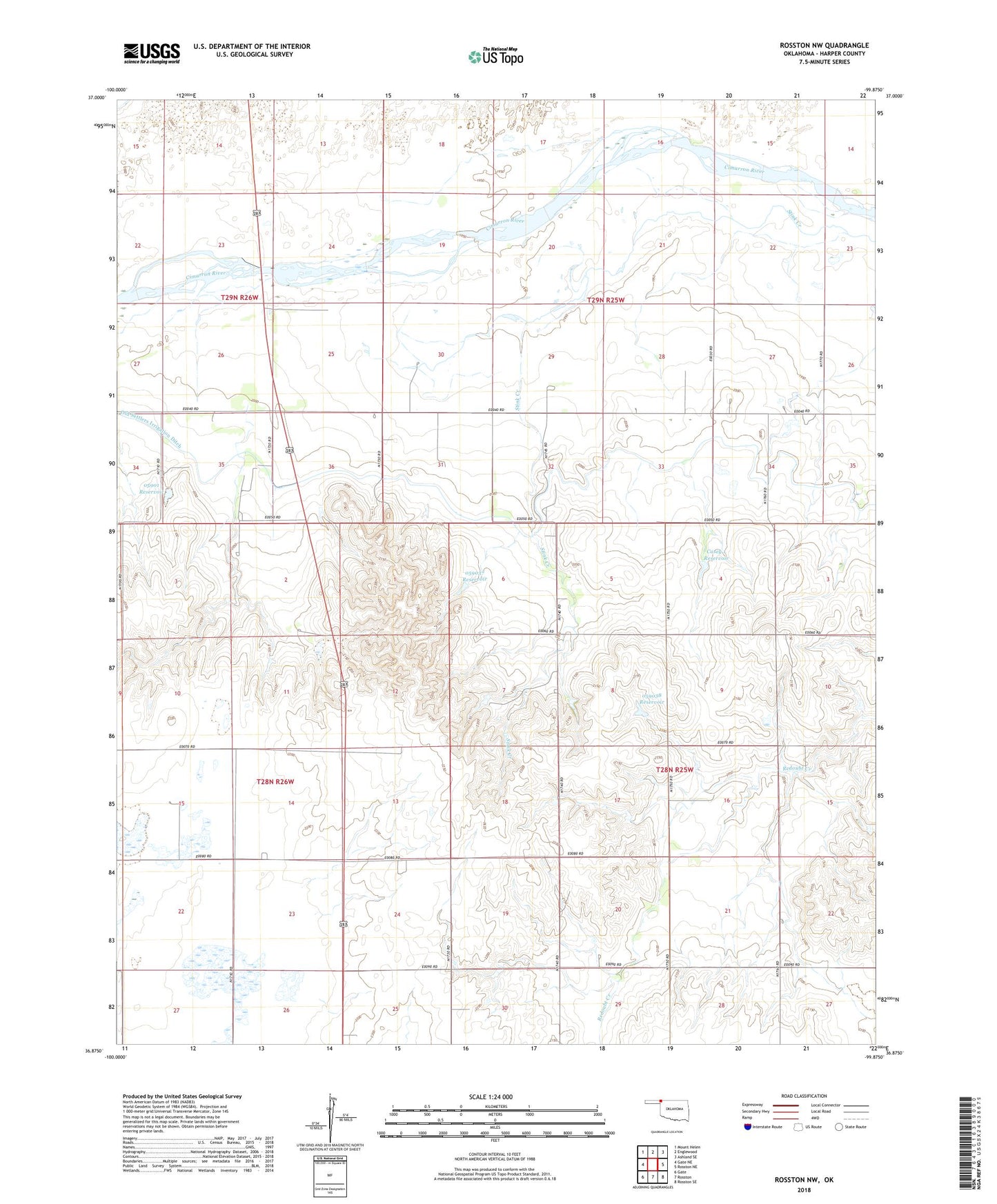
2018 topographic map quadrangle Rosston NW in the state of Oklahoma. Scale: 1:24000. Based on the newly updated USGS 7.5' US Topo map series, this map is in the following counties: Harper. The map contains contour data, water features, and other items you are used to seeing on USGS maps, but also has updated roads and other features. This is the next generation of topographic maps. Printed on high-quality waterproof paper with UV fade-resistant inks.
Quads adjacent to this one:
West: Gate NE
Northwest: Mount Helen
North: Englewood
Northeast: Ashland SE
East: Rosston NE
Southeast: Rosston SE
South: Rosston
Southwest: Gate
Contains the following named places: Casey 1 Dam, Casey 1 Reservoir, Ditch Valley Community Building, Oknoname 05901 Dam, Oknoname 05901 Reservoir, Oknoname 059037 Dam, Oknoname 059037 Reservoir, Oknoname 059038 Dam, Oknoname 059038 Reservoir, Oknoname 059043 Dam, Oknoname 059043 Reservoir, Old Settlers Irrigation Ditch, Township of Garfield