MyTopo
Ashland SE Kansas US Topo Map
Couldn't load pickup availability
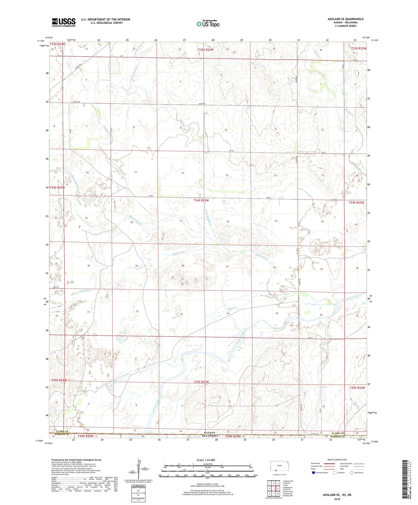
2022 topographic map quadrangle Ashland SE in the state of Kansas. Scale: 1:24000. Based on the newly updated USGS 7.5' US Topo map series, this map is in the following counties: Clark, Harper. The map contains contour data, water features, and other items you are used to seeing on USGS maps, but also has updated roads and other features. This is the next generation of topographic maps. Printed on high-quality waterproof paper with UV fade-resistant inks.
Quads adjacent to this one:
West: Englewood
Northwest: Ashland NW
North: Ashland
Northeast: Sitka
East: Sitka SW
Southeast: Buffalo NW
South: Rosston NE
Southwest: Rosston NW
Contains the following named places: Big Sandy Creek, Bullard Creek, Clark Creek, Keiger Creek, Little Sandy Creek, Redoubt Creek, Spring Creek, Stink Creek