MyTopo
Steinerts Lake Oklahoma US Topo Map
Couldn't load pickup availability
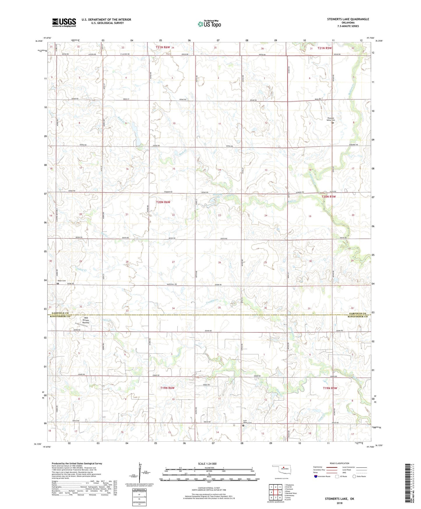
2018 topographic map quadrangle Steinerts Lake in the state of Oklahoma. Scale: 1:24000. Based on the newly updated USGS 7.5' US Topo map series, this map is in the following counties: Garfield, Kingfisher. The map contains contour data, water features, and other items you are used to seeing on USGS maps, but also has updated roads and other features. This is the next generation of topographic maps. Printed on high-quality waterproof paper with UV fade-resistant inks.
Quads adjacent to this one:
West: Bison
Northwest: Waukomis
North: Enid SE
Northeast: Fairmont
East: Marshall West
Southeast: Lovell
South: Union
Southwest: Hennessey
Contains the following named places: 1904 Private Runway, 73720, Bison Cemetery, Crooked Creek, Dry Creek, Lyon Valley Cemetery, Lyon Valley School, Pleasant Valley Cemetery, Pleasant Valley Church, Rock Creek, Steinert Lakes Airport, Steinerts Lake, Township of Osborn, Union Chapel