MyTopo
Stroud North Oklahoma US Topo Map
Couldn't load pickup availability
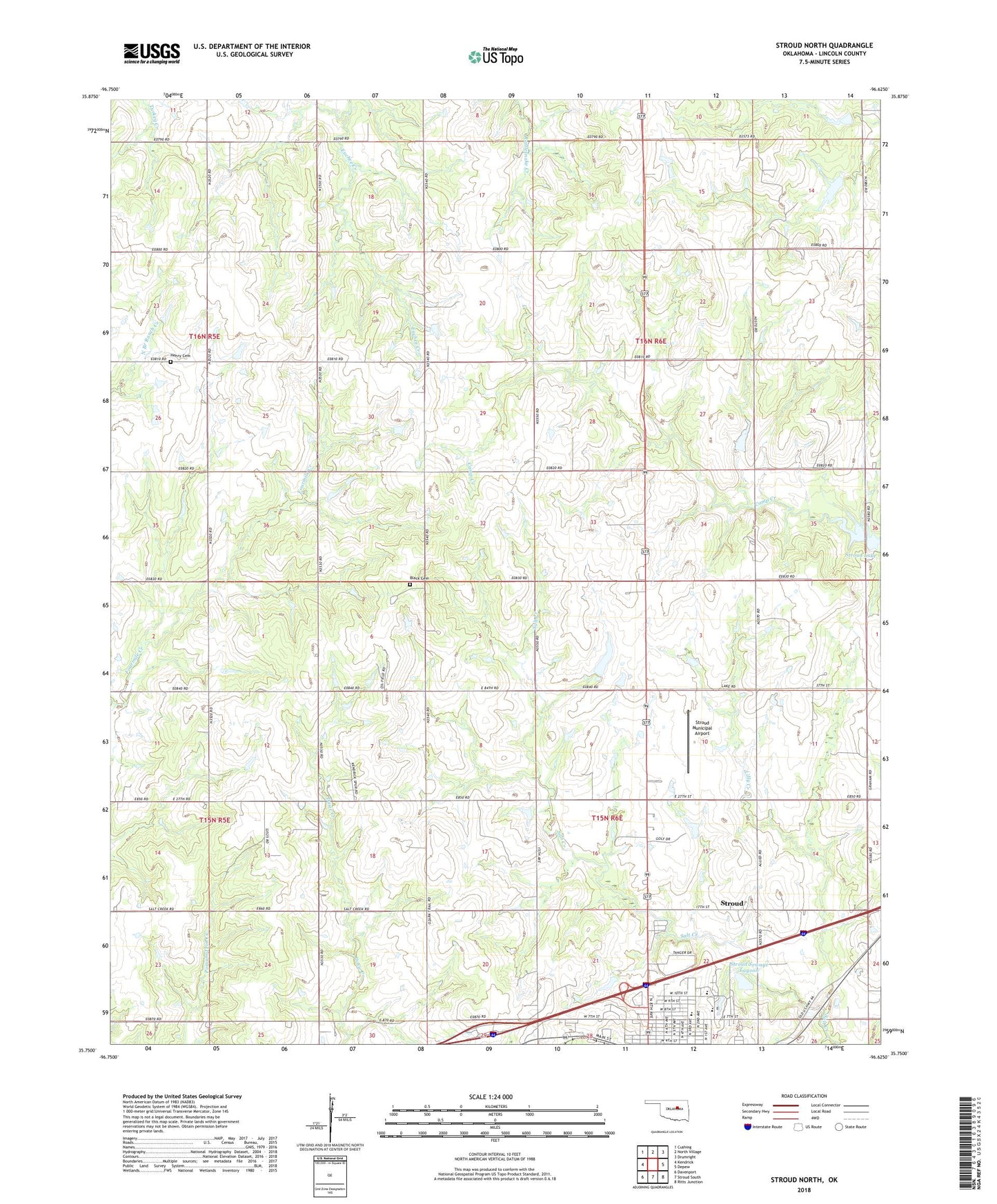
2018 topographic map quadrangle Stroud North in the state of Oklahoma. Scale: 1:24000. Based on the newly updated USGS 7.5' US Topo map series, this map is in the following counties: Lincoln. The map contains contour data, water features, and other items you are used to seeing on USGS maps, but also has updated roads and other features. This is the next generation of topographic maps. Printed on high-quality waterproof paper with UV fade-resistant inks.
Quads adjacent to this one:
West: Kendrick
Northwest: Cushing
North: North Village
Northeast: Drumright
East: Depew
Southeast: Ritts Junction
South: Stroud South
Southwest: Davenport
Contains the following named places: Black Cemetery, Chapel of Faith Church, City of Stroud, First Baptist Church, First Church of the Nazarene, Henry Cemetery, Lilly Creek, Northeast Lincoln Division, Oknoname 08109 Dam, Oknoname 08109 Reservoir, Parkview Elementary School, Plaza 66, Stroud Elementary School, Stroud High School, Stroud Middle School, Stroud Municipal Airport, Stroud Sewage Lagoon, Stroud Sewage Lagoon Dam, Tanger Factory Outlet Center, Township of North Keokuk