MyTopo
Tushka Oklahoma US Topo Map
Couldn't load pickup availability
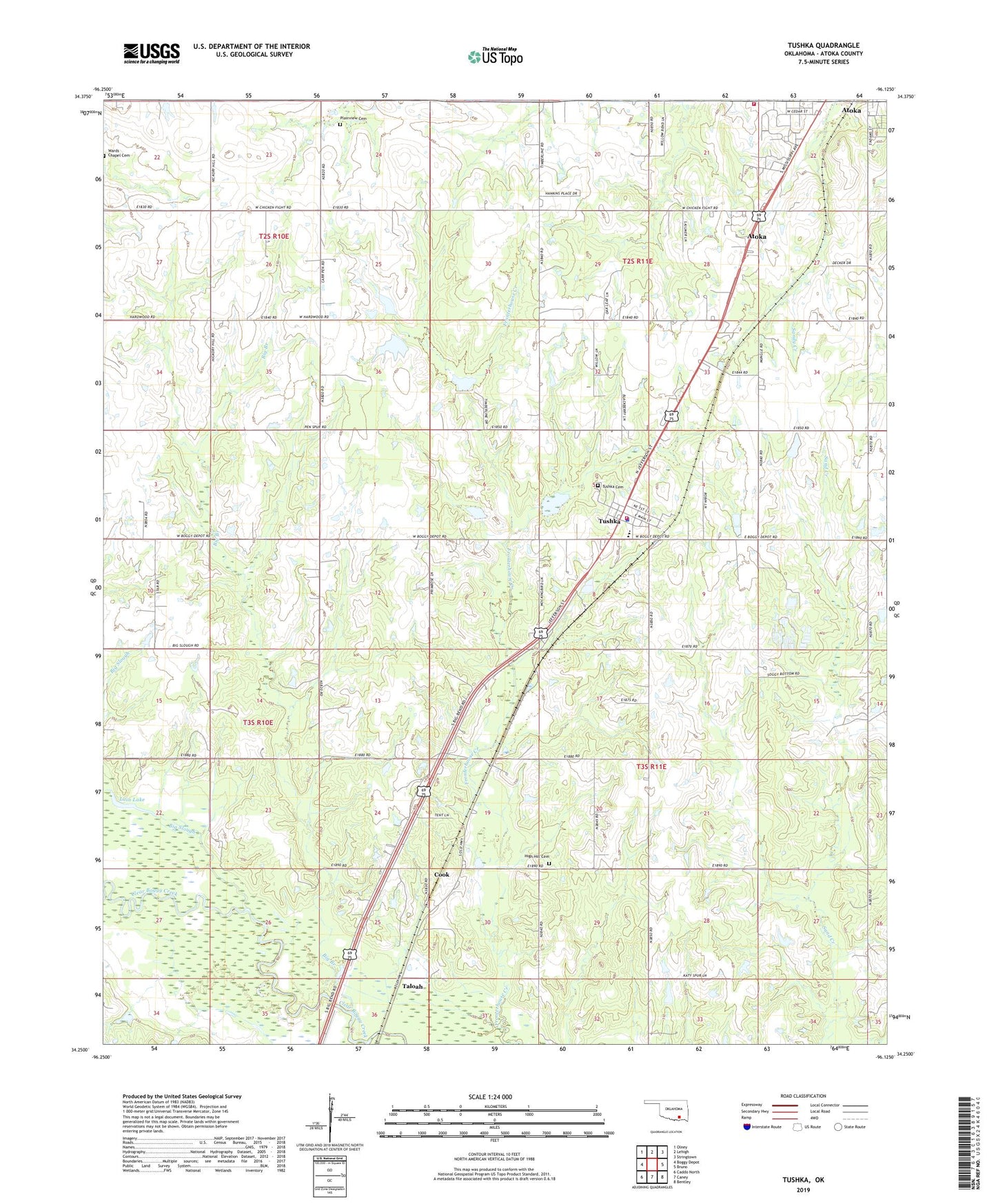
2019 topographic map quadrangle Tushka in the state of Oklahoma. Scale: 1:24000. Based on the newly updated USGS 7.5' US Topo map series, this map is in the following counties: Atoka. The map contains contour data, water features, and other items you are used to seeing on USGS maps, but also has updated roads and other features. This is the next generation of topographic maps. Printed on high-quality waterproof paper with UV fade-resistant inks.
Quads adjacent to this one:
West: Boggy Depot
Northwest: Olney
North: Lehigh
Northeast: Stringtown
East: Bruno
Southeast: Bentley
South: Caney
Southwest: Caddo North
Contains the following named places: Atoka County Ambulance, Atoka Fire Department Station 2, Atoka Memorial Hospital Heliport, Big Branch, Big Slough, Caney Creek, Cook, High Hill Cemetery, High Hill Church, Lain Lake, Plainview Cemetery, Pleasant View Church, Taloah, Town of Tushka, Township of Lewis, Tushka, Tushka Cemetery, Tushka Elementary School, Tushka Fire Department, Tushka High School, Tushka Police Department, Wards Chapel, Wards Chapel Cemetery