MyTopo
Bull Lake Oregon US Topo Map
Couldn't load pickup availability
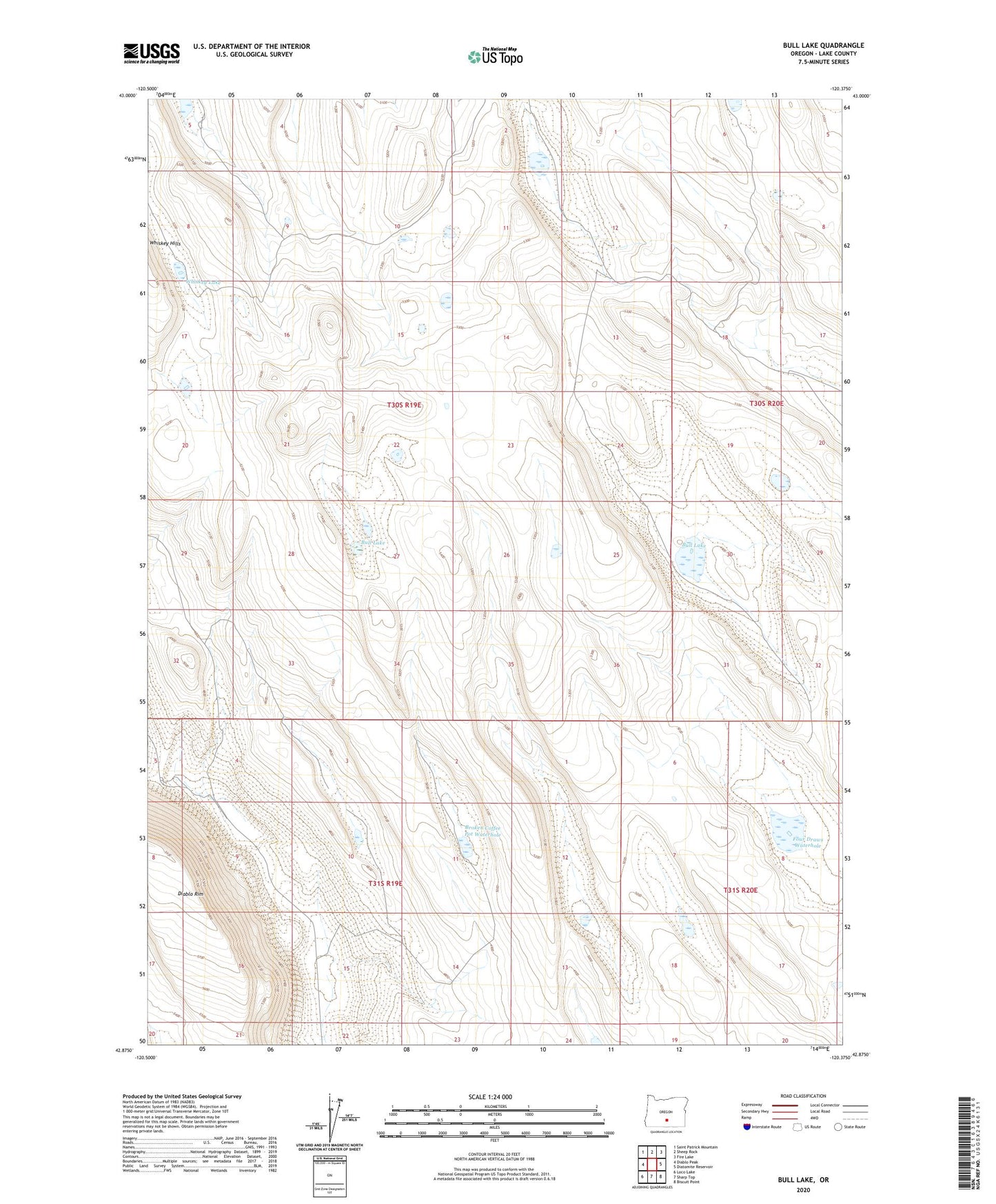
2023 topographic map quadrangle Bull Lake in the state of Oregon. Scale: 1:24000. Based on the newly updated USGS 7.5' US Topo map series, this map is in the following counties: Lake. The map contains contour data, water features, and other items you are used to seeing on USGS maps, but also has updated roads and other features. This is the next generation of topographic maps. Printed on high-quality waterproof paper with UV fade-resistant inks.
Quads adjacent to this one:
West: Diablo Peak
Northwest: Saint Patrick Mountain
North: Sheep Rock
Northeast: Fire Lake
East: Diatomite Reservoir
Southeast: Biscuit Point
South: Sharp Top
Southwest: Loco Lake
This map covers the same area as the classic USGS quad with code o42120h4.
Contains the following named places: Broken Coffee Pot Waterhole, Bull Lake, East Whiskey Lake, Four Draws Waterhole, King Dogs Waterhole, Sheep Rock Waterhole, Whiskey Lake, ZX Well