MyTopo
Chimney Rock Oregon US Topo Map
Couldn't load pickup availability
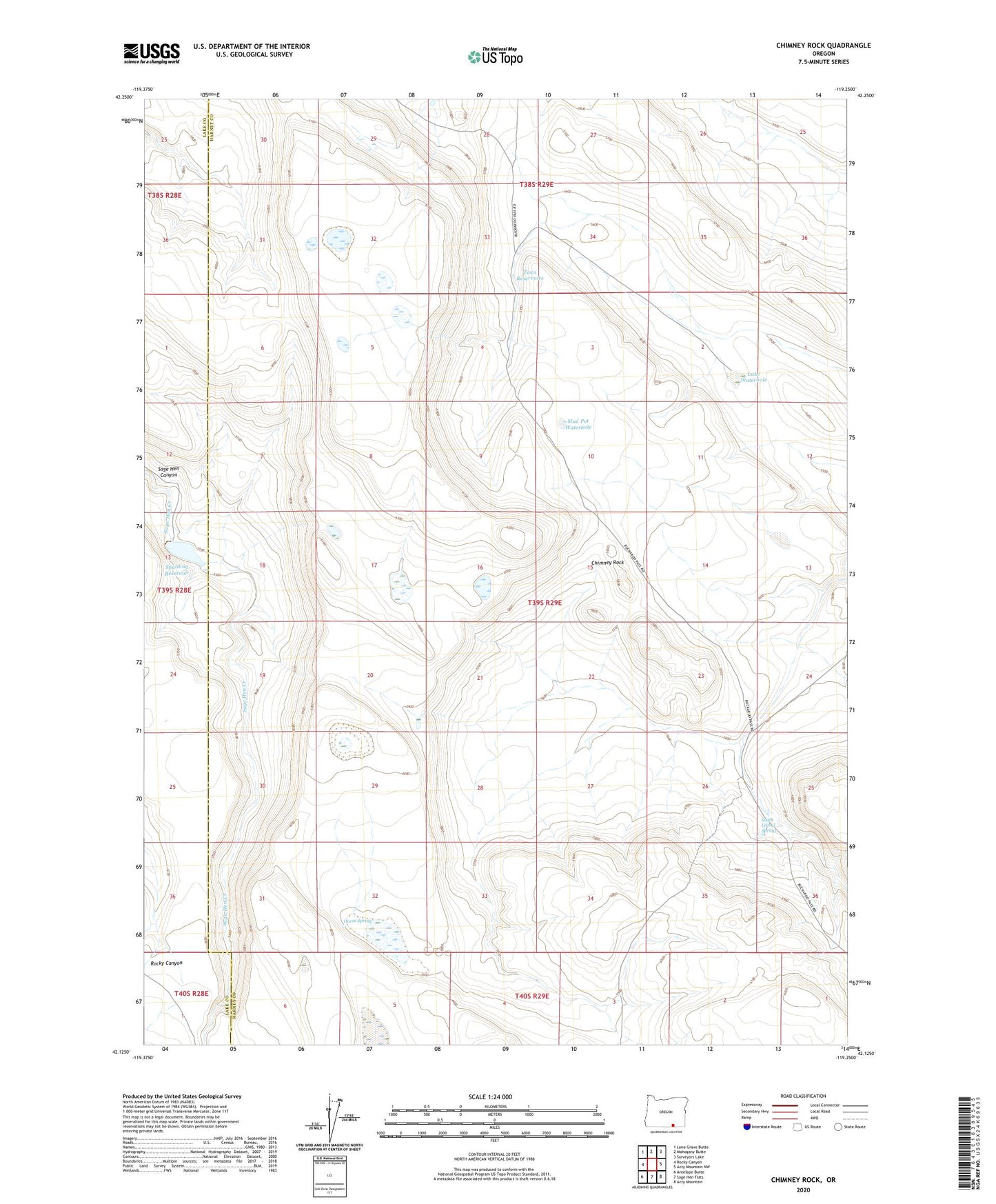
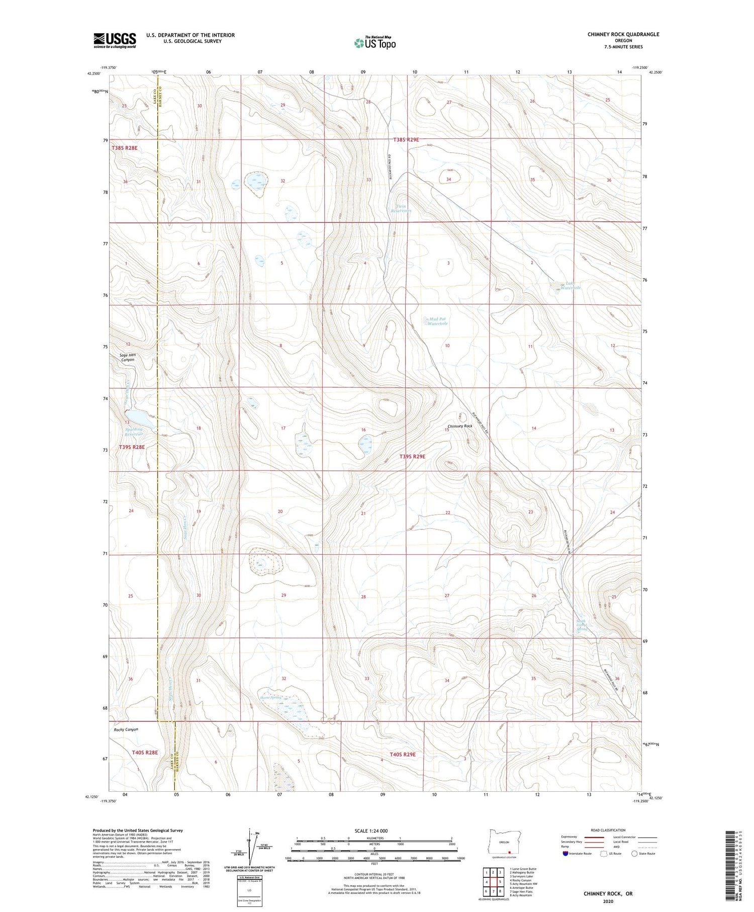
2020 topographic map quadrangle Chimney Rock in the state of Oregon. Scale: 1:24000. Based on the newly updated USGS 7.5' US Topo map series, this map is in the following counties: Harney, Lake. The map contains contour data, water features, and other items you are used to seeing on USGS maps, but also has updated roads and other features. This is the next generation of topographic maps. Printed on high-quality waterproof paper with UV fade-resistant inks.
Quads adjacent to this one:
West: Rocky Canyon
Northwest: Lone Grave Butte
North: Mahogany Butte
Northeast: Surveyors Lake
East: Acty Mountain NW
Southeast: Acty Mountain
South: Sage Hen Flats
Southwest: Antelope Butte
Contains the following named places: BLM Field Camp, Chimney Rock, Horse Spring, Lake Waterhole, Mud Pot Waterhole, South Corral Spring, Spalding Dam, Spalding Reservoir, Twin Reservoirs