MyTopo
Acty Mountain Oregon US Topo Map
Couldn't load pickup availability
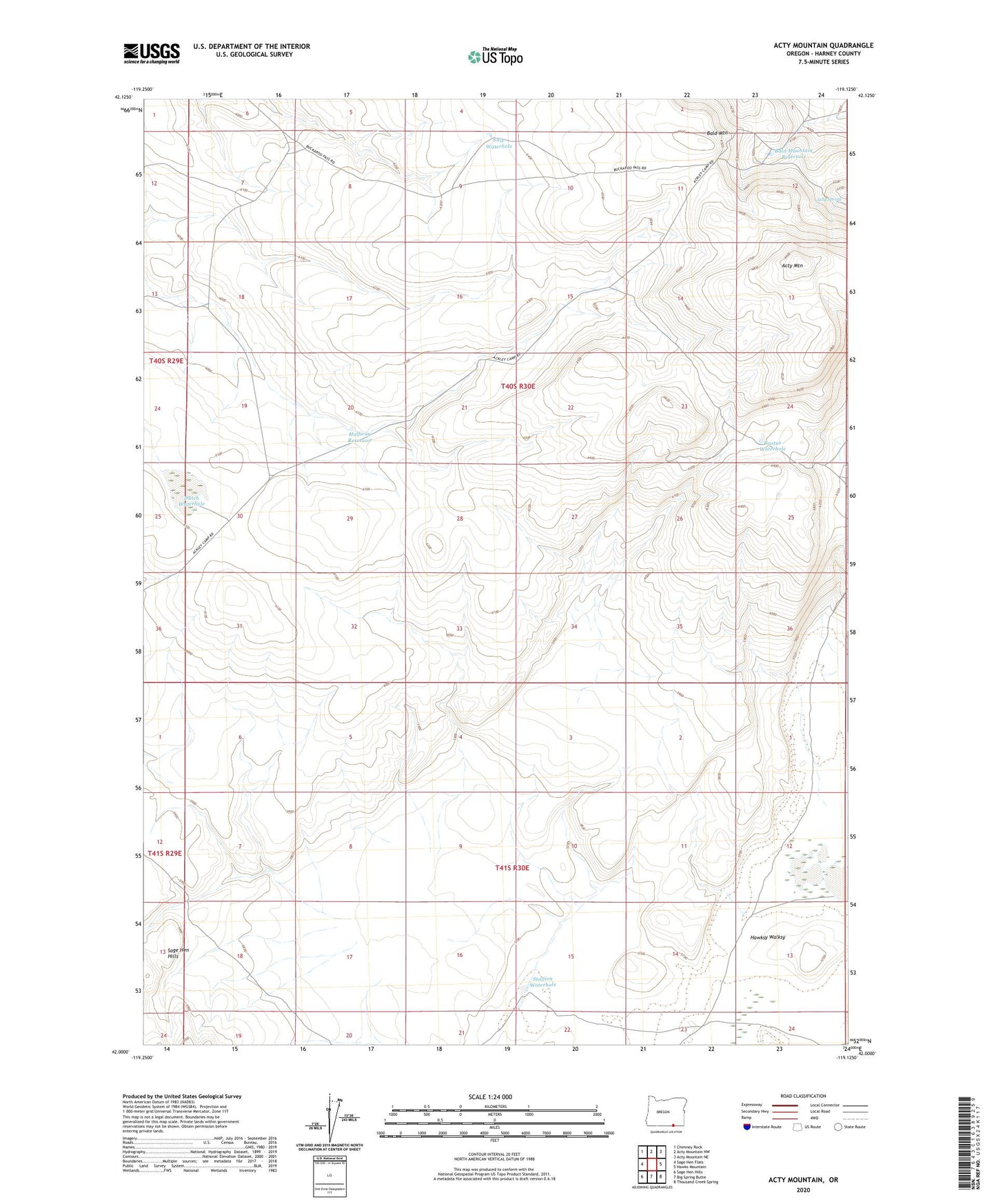
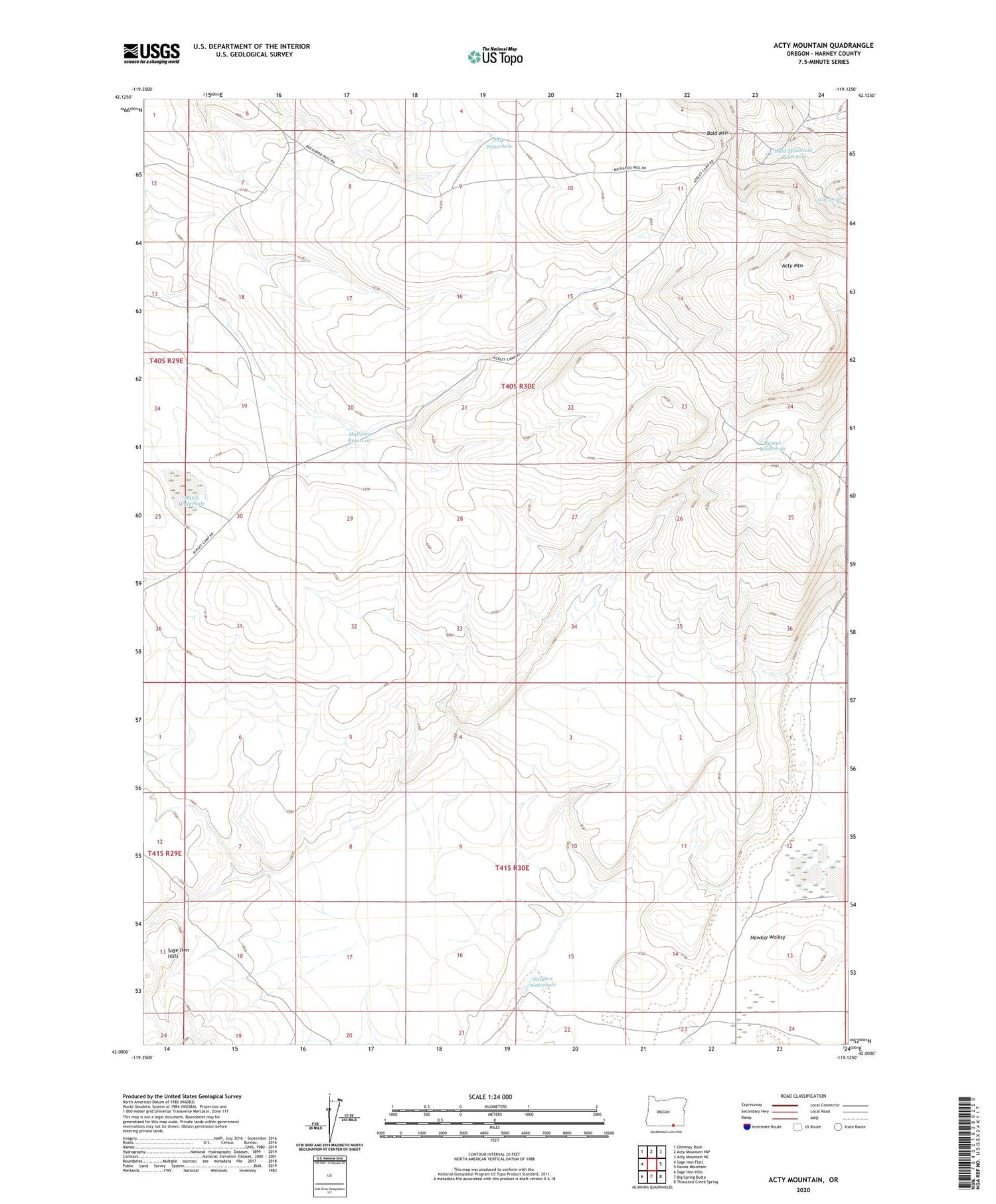
2024 topographic map quadrangle Acty Mountain in the state of Oregon. Scale: 1:24000. Based on the newly updated USGS 7.5' US Topo map series, this map is in the following counties: Harney. The map contains contour data, water features, and other items you are used to seeing on USGS maps, but also has updated roads and other features. This is the next generation of topographic maps. Printed on high-quality waterproof paper with UV fade-resistant inks.
Quads adjacent to this one:
West: Sage Hen Flats
Northwest: Chimney Rock
North: Acty Mountain NW
Northeast: Acty Mountain NE
East: Hawks Mountain
Southeast: Thousand Creek Spring
South: Big Spring Butte
Southwest: Sage Hen Hills
This map covers the same area as the classic USGS quad with code o42119a2.
Contains the following named places: Acty Mountain, Acty Spring, Bald Mountain, Bald Mountain Reservoir, Dutch Waterhole, Halfway Reservoir, Rastus Waterhole, Snip Waterhole, Stallion Waterhole