MyTopo
Dairy Oregon US Topo Map
Couldn't load pickup availability
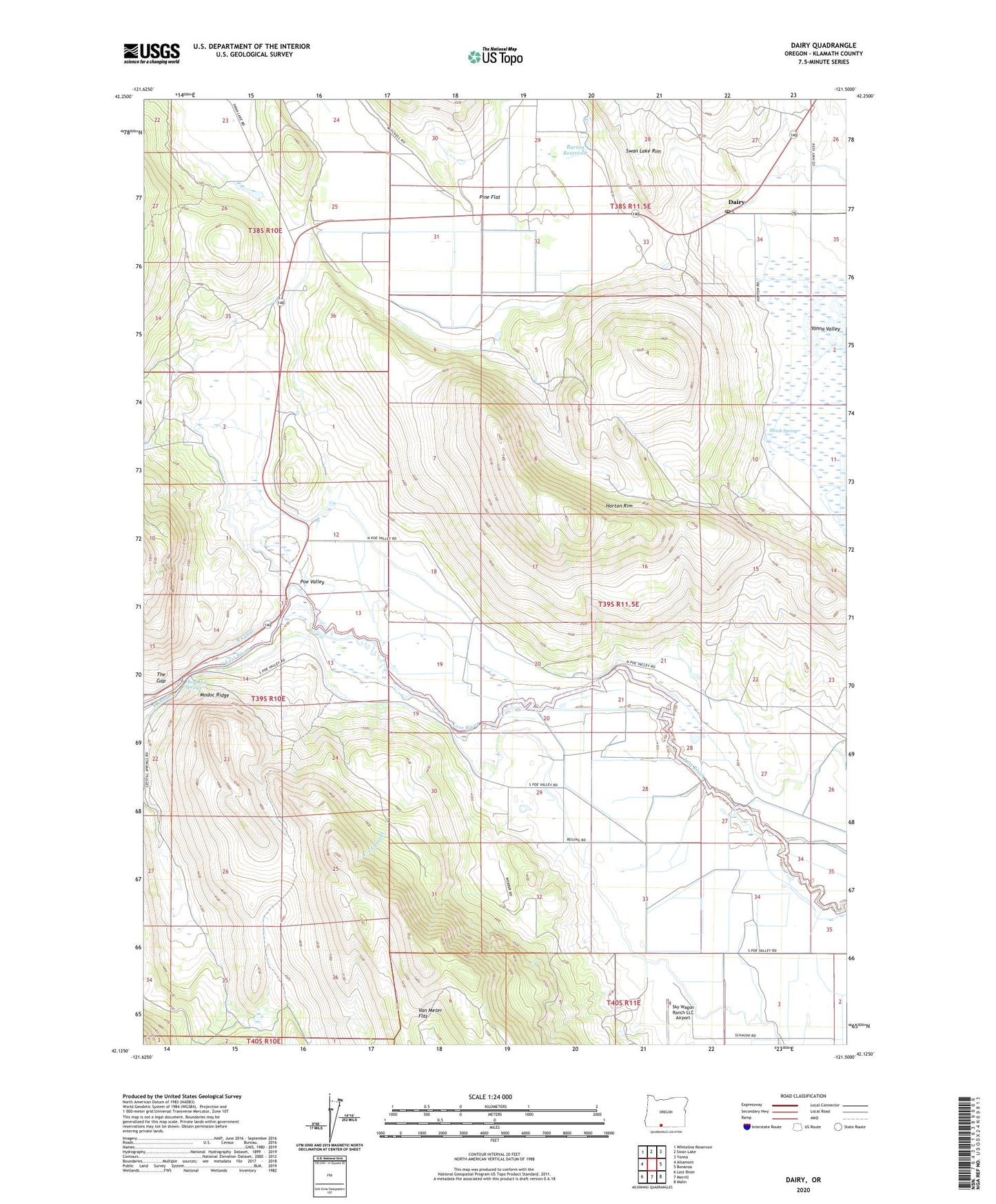
2020 topographic map quadrangle Dairy in the state of Oregon. Scale: 1:24000. Based on the newly updated USGS 7.5' US Topo map series, this map is in the following counties: Klamath. The map contains contour data, water features, and other items you are used to seeing on USGS maps, but also has updated roads and other features. This is the next generation of topographic maps. Printed on high-quality waterproof paper with UV fade-resistant inks.
Quads adjacent to this one:
West: Altamont
Northwest: Whiteline Reservoir
North: Swan Lake
Northeast: Yonna
East: Bonanza
Southeast: Malin
South: Merrill
Southwest: Lost River
Contains the following named places: Barton Reservoir, Dairy, Dairy Post Office, Dairy Siding, E Canal, F Canal, F-1 Lateral, Horton Rim, Keyser Reservoir, Modoc Ridge, Moyina, Olene Hot Springs, Oreoil, Pine Flat, Poe Valley, Shook Spring, Sky Wagon Ranch LLC Airport, Stevenson Park, Swan Lake, The Gap