MyTopo
Diablo Peak Oregon US Topo Map
Couldn't load pickup availability
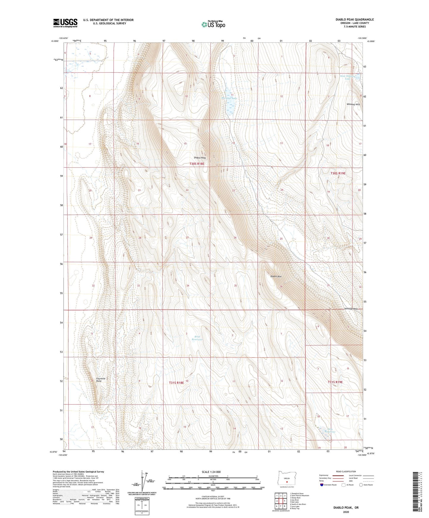
2020 topographic map quadrangle Diablo Peak in the state of Oregon. Scale: 1:24000. Based on the newly updated USGS 7.5' US Topo map series, this map is in the following counties: Lake. The map contains contour data, water features, and other items you are used to seeing on USGS maps, but also has updated roads and other features. This is the next generation of topographic maps. Printed on high-quality waterproof paper with UV fade-resistant inks.
Quads adjacent to this one:
West: Ana River
Northwest: Sheeplick Draw
North: Saint Patrick Mountain
Northeast: Sheep Rock
East: Bull Lake
Southeast: Sharp Top
South: Loco Lake
Southwest: South of Ana River
Contains the following named places: Banta Well, Brief Reservoir, Devil Well, Diablo Peak, Diablo Rim, Fourmile Point, Jackings Hole, Murphys Lake, Slim Reservoir, West Whiskey Lake, Whiskey Hills