MyTopo
Dufur East Oregon US Topo Map
Couldn't load pickup availability
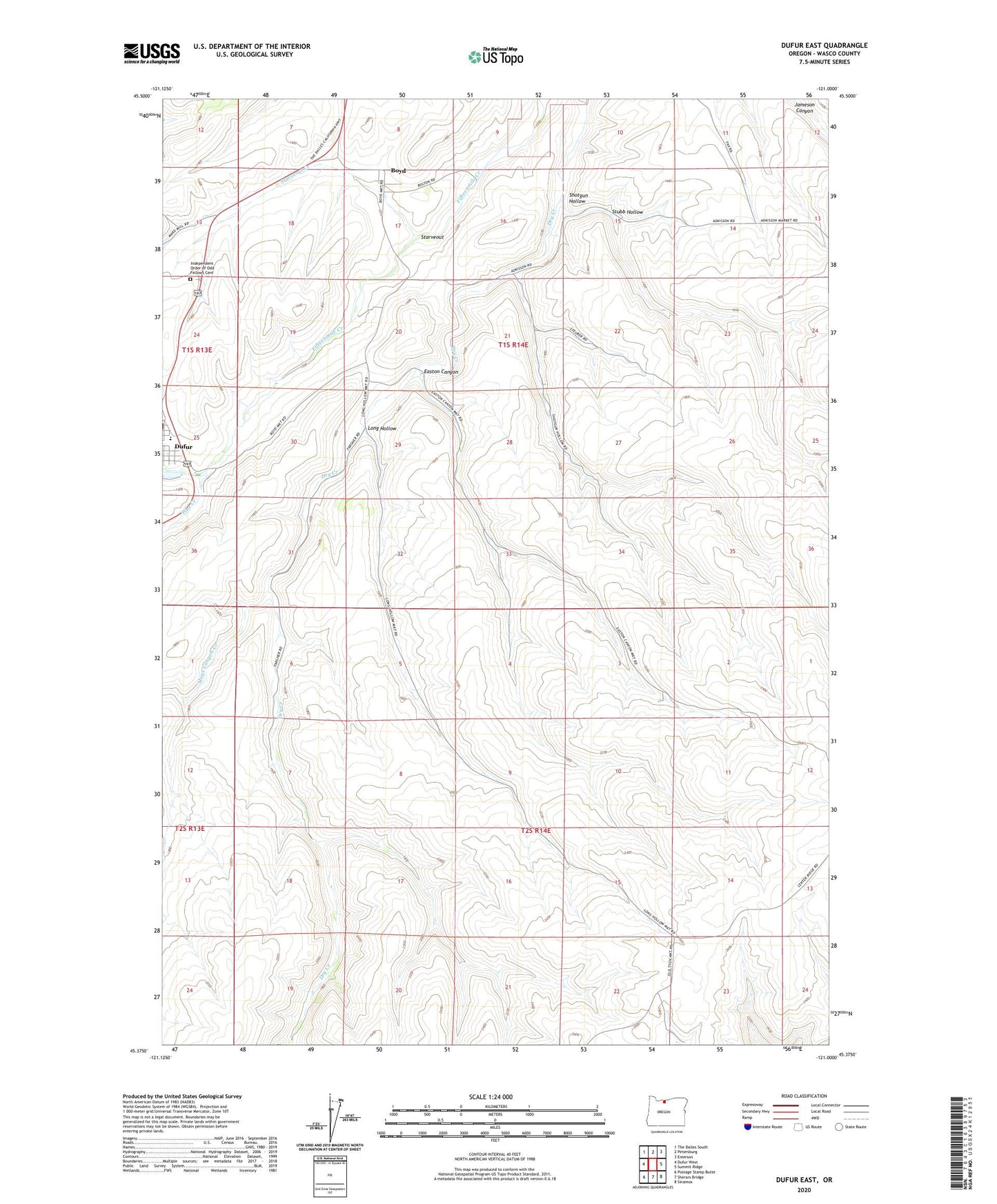
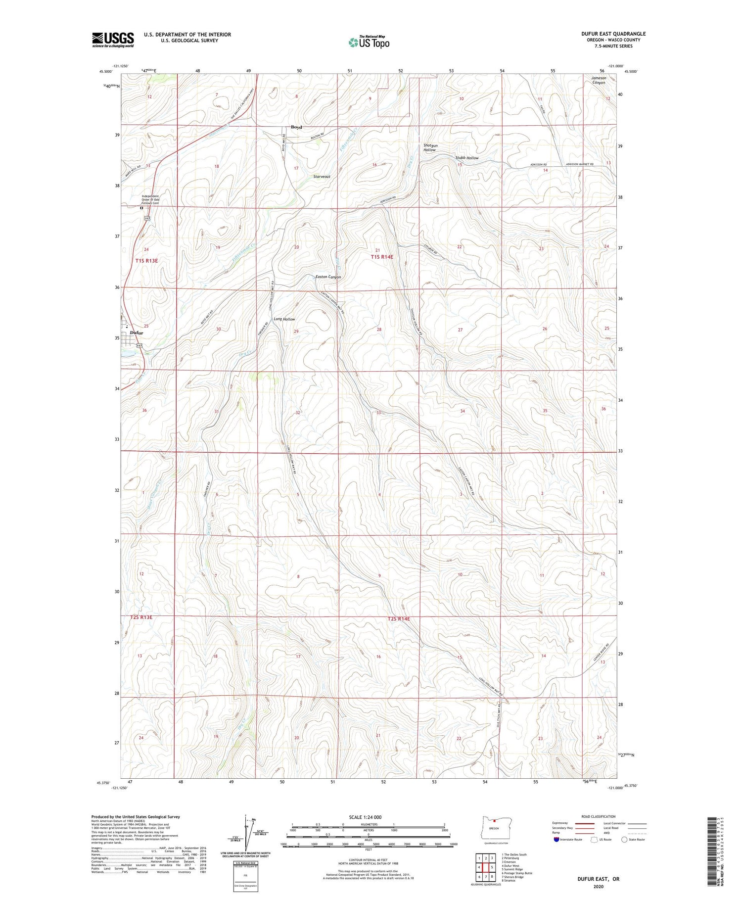
2020 topographic map quadrangle Dufur East in the state of Oregon. Scale: 1:24000. Based on the newly updated USGS 7.5' US Topo map series, this map is in the following counties: Wasco. The map contains contour data, water features, and other items you are used to seeing on USGS maps, but also has updated roads and other features. This is the next generation of topographic maps. Printed on high-quality waterproof paper with UV fade-resistant inks.
Quads adjacent to this one:
West: Dufur West
Northwest: The Dalles South
North: Petersburg
Northeast: Emerson
East: Summit Ridge
Southeast: Sinamox
South: Sherars Bridge
Southwest: Postage Stamp Butte
Contains the following named places: Boyd, Boyd Post Office, Dufur School, Dufur School Community Library, Dufur Sewage Treatment Plant, Easton Canyon, Independent Order of Odd Fellows Cemetery, Long Hollow, Mays Canyon Creek, Nansene, Nansene Community Hall, Nansene Post Office, Pine Creek, Shotgun Hollow, Starveout, Starveout Creek, Stubb Hollow, Wasco Post Office