MyTopo
Hickland Butte Oregon US Topo Map
Couldn't load pickup availability
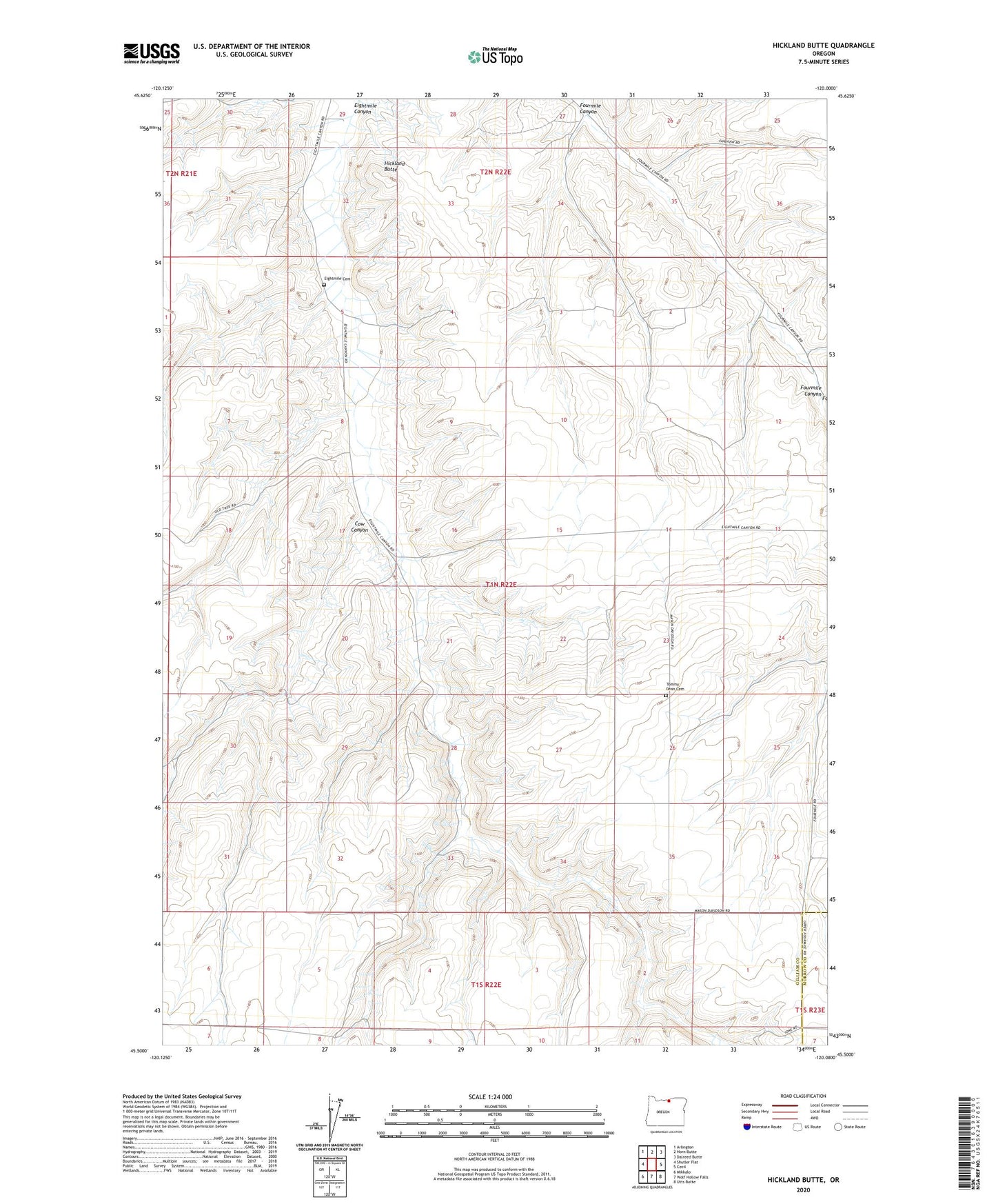
2020 topographic map quadrangle Hickland Butte in the state of Oregon. Scale: 1:24000. Based on the newly updated USGS 7.5' US Topo map series, this map is in the following counties: Gilliam, Morrow. The map contains contour data, water features, and other items you are used to seeing on USGS maps, but also has updated roads and other features. This is the next generation of topographic maps. Printed on high-quality waterproof paper with UV fade-resistant inks.
Quads adjacent to this one:
West: Shutler Flat
Northwest: Arlington
North: Horn Butte
Northeast: Dalreed Butte
East: Cecil
Southeast: Utts Butte
South: Wolf Hollow Falls
Southwest: Mikkalo
Contains the following named places: Cow Canyon, Eightmile Cemetery, Hickland Butte, Oasis Post Office, Tommy Dean Cemetery