MyTopo
Utts Butte Oregon US Topo Map
Couldn't load pickup availability
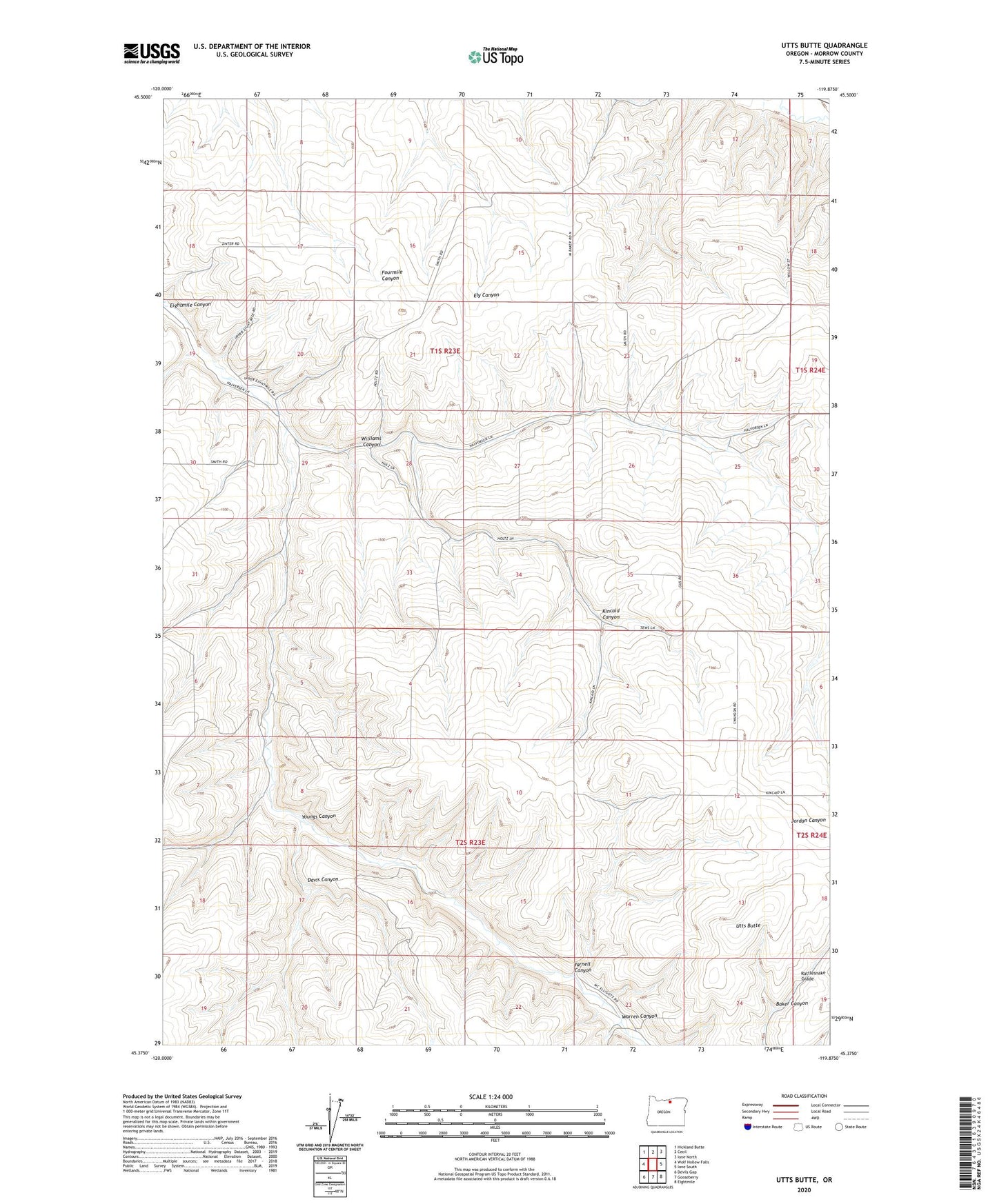
2023 topographic map quadrangle Utts Butte in the state of Oregon. Scale: 1:24000. Based on the newly updated USGS 7.5' US Topo map series, this map is in the following counties: Morrow. The map contains contour data, water features, and other items you are used to seeing on USGS maps, but also has updated roads and other features. This is the next generation of topographic maps. Printed on high-quality waterproof paper with UV fade-resistant inks.
Quads adjacent to this one:
West: Wolf Hollow Falls
Northwest: Hickland Butte
North: Cecil
Northeast: Ione North
East: Ione South
Southeast: Eightmile
South: Gooseberry
Southwest: Devils Gap
This map covers the same area as the classic USGS quad with code o45119d8.
Contains the following named places: Baker Canyon, Davis Canyon, Kincaid Canyon, Rattlesnake Grade, Utts Butte, Warren Canyon, Williams Canyon, Yarnell Canyon, Youngs Canyon