
MyTopo
Igo Butte Oregon US Topo Map
Couldn't load pickup availability
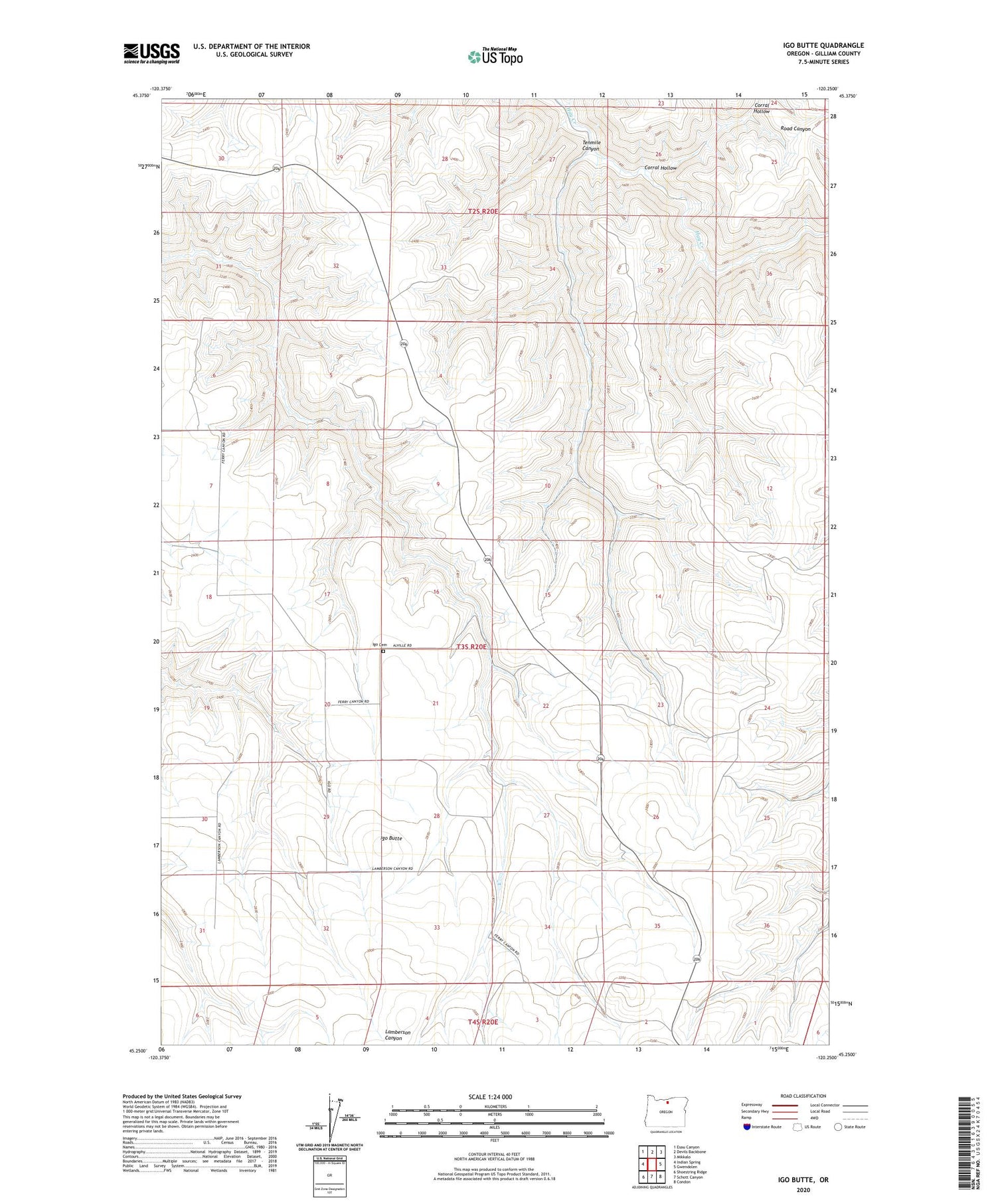
2020 topographic map quadrangle Igo Butte in the state of Oregon. Scale: 1:24000. Based on the newly updated USGS 7.5' US Topo map series, this map is in the following counties: Gilliam. The map contains contour data, water features, and other items you are used to seeing on USGS maps, but also has updated roads and other features. This is the next generation of topographic maps. Printed on high-quality waterproof paper with UV fade-resistant inks.
Quads adjacent to this one:
West: Indian Spring
Northwest: Esau Canyon
North: Devils Backbone
Northeast: Mikkalo
East: Gwendolen
Southeast: Condon
South: Schott Canyon
Southwest: Shoestring Ridge
Contains the following named places: Alville, Alville Post Office, Corral Hollow, H Johnson Ranch, Igo, Igo Butte, Igo Cemetery, Igo Grange Hall, Igo Post Office, Igo School, Tenmile Canyon


