MyTopo
Jennies Peak Oregon US Topo Map
Couldn't load pickup availability
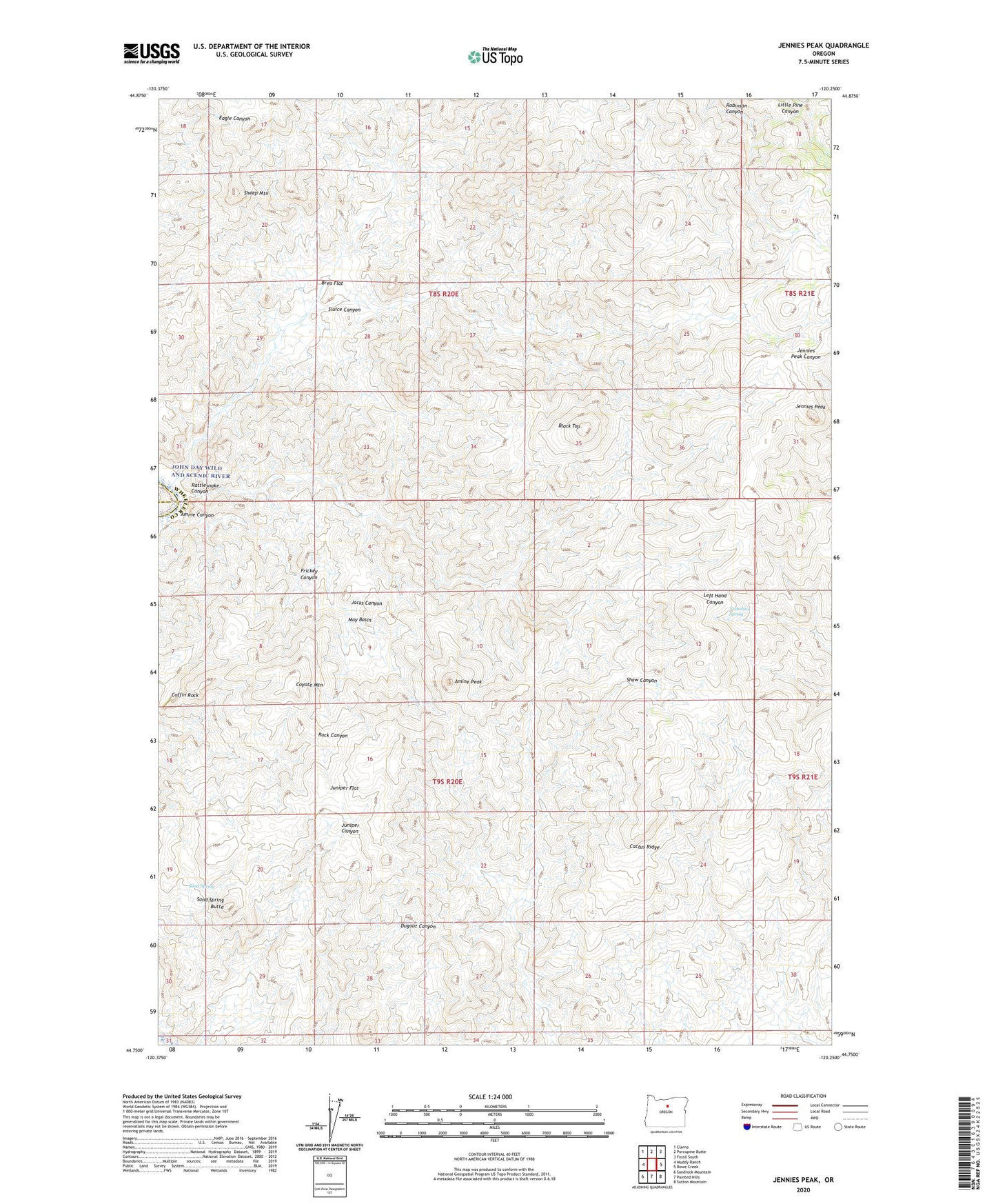
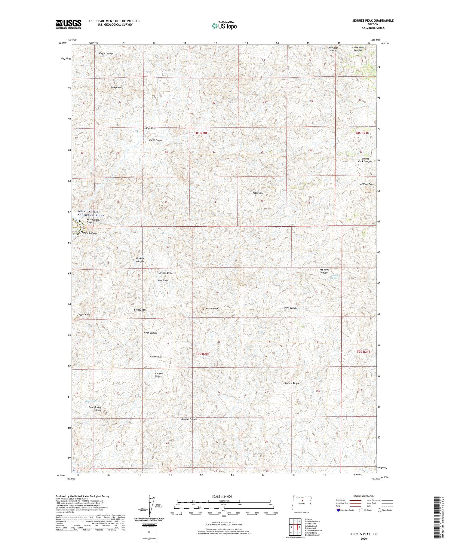
2020 topographic map quadrangle Jennies Peak in the state of Oregon. Scale: 1:24000. Based on the newly updated USGS 7.5' US Topo map series, this map is in the following counties: Wheeler, Wasco, Jefferson. The map contains contour data, water features, and other items you are used to seeing on USGS maps, but also has updated roads and other features. This is the next generation of topographic maps. Printed on high-quality waterproof paper with UV fade-resistant inks.
Quads adjacent to this one:
West: Muddy Ranch
Northwest: Clarno
North: Porcupine Butte
Northeast: Fossil South
East: Rowe Creek
Southeast: Sutton Mountain
South: Painted Hills
Southwest: Sandrock Mountain
Contains the following named places: Amine Canyon, Amine Peak, Black Top, Breo Flat, Cactus Ridge, Coffin Rock, Coyote Mountain, Frickey Canyon, Jacks Canyon, Jennies Peak, Juniper Flat, May Basin, Nicholson Spring, Rattlesnake Canyon, Rhodes Canyon, Sand Spring, Sand Spring Butte, Sheep Mountain, Sluice Canyon