MyTopo
Langlois Oregon US Topo Map
Couldn't load pickup availability
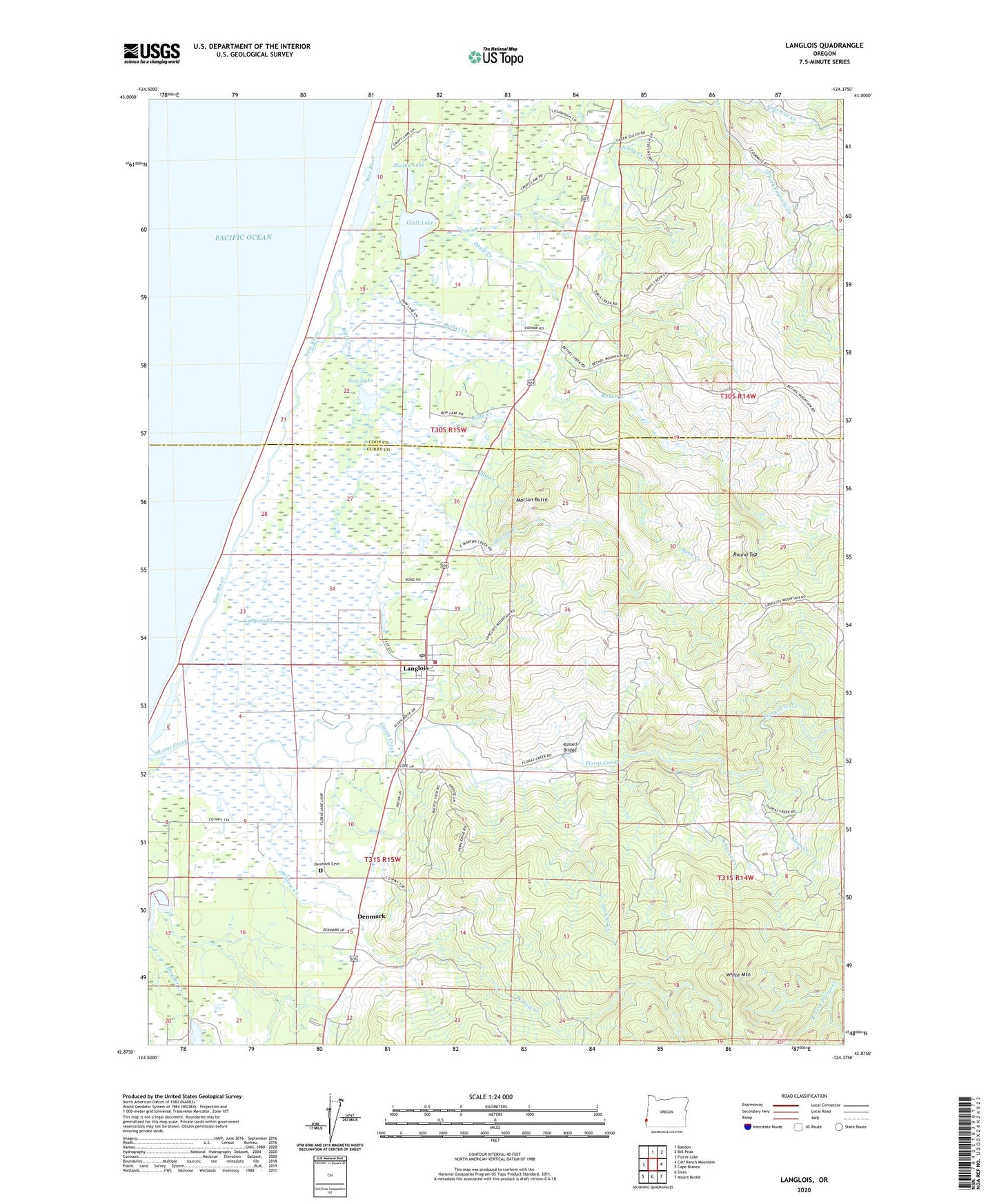
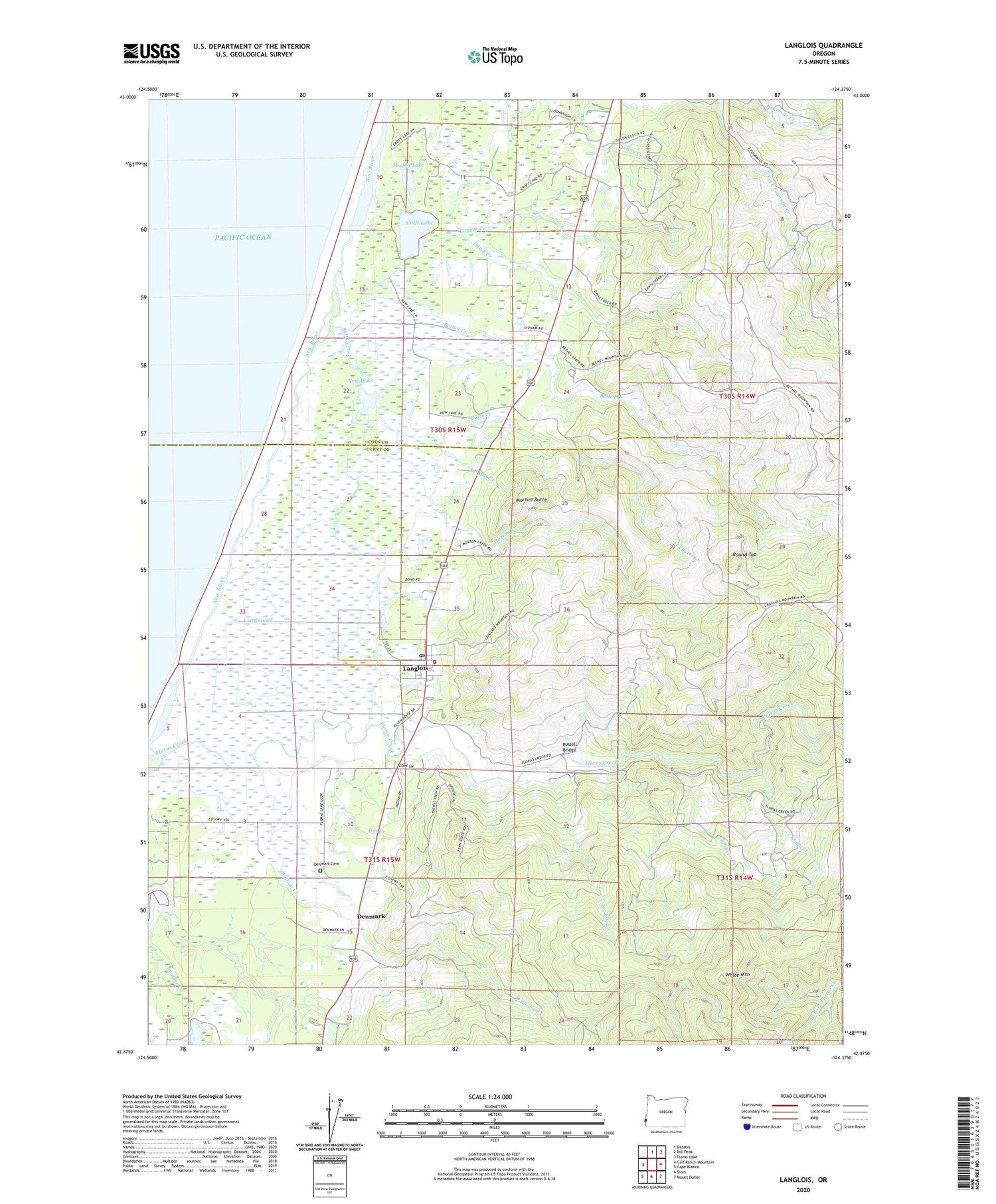
2020 topographic map quadrangle Langlois in the state of Oregon. Scale: 1:24000. Based on the newly updated USGS 7.5' US Topo map series, this map is in the following counties: Curry, Coos. The map contains contour data, water features, and other items you are used to seeing on USGS maps, but also has updated roads and other features. This is the next generation of topographic maps. Printed on high-quality waterproof paper with UV fade-resistant inks.
Quads adjacent to this one:
West: Floras Lake
North: Bandon
Northeast: Bill Peak
East: Calf Ranch Mountain
Southeast: Mount Butler
South: Sixes
Southwest: Cape Blanco
Contains the following named places: Bethel Creek, Blanco School, Boulder Creek, Butte Creek, Clear Creek, Conner Creek, Croft Lake, Davis Creek, Denmark, Denmark Cemetery, Denmark Post Office, Floras Creek, Jenny Creek, Jim Creek, Joe Cox Creek, Johnson Creek, Lakeport, Lakeport Post Office, Langlois, Langlois Census Designated Place, Langlois Creek, Langlois Library District, Langlois Post Office, Langlois Rural Fire Protection District, Langlois Water District, Mill Creek, Millard School, Morton Butte, Morton Creek, Muddy Lake, New Lake, Round Top, Russell Bridge, South Fork Fourmile Creek, White Mountain, Willow Creek, ZIP Code: 97450