MyTopo
Lookout Mountain Oregon US Topo Map
Couldn't load pickup availability
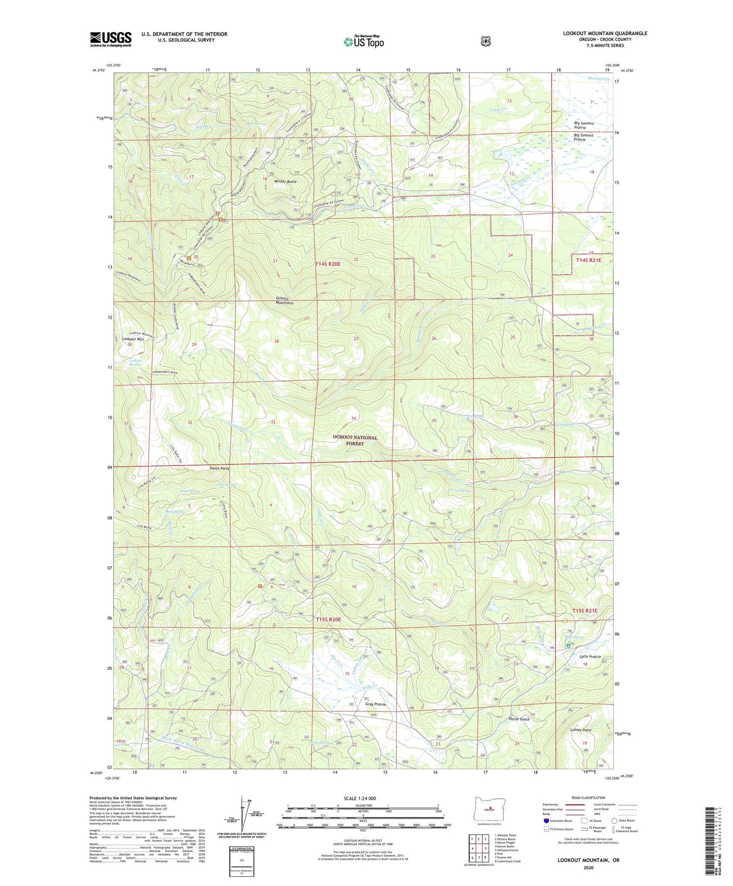
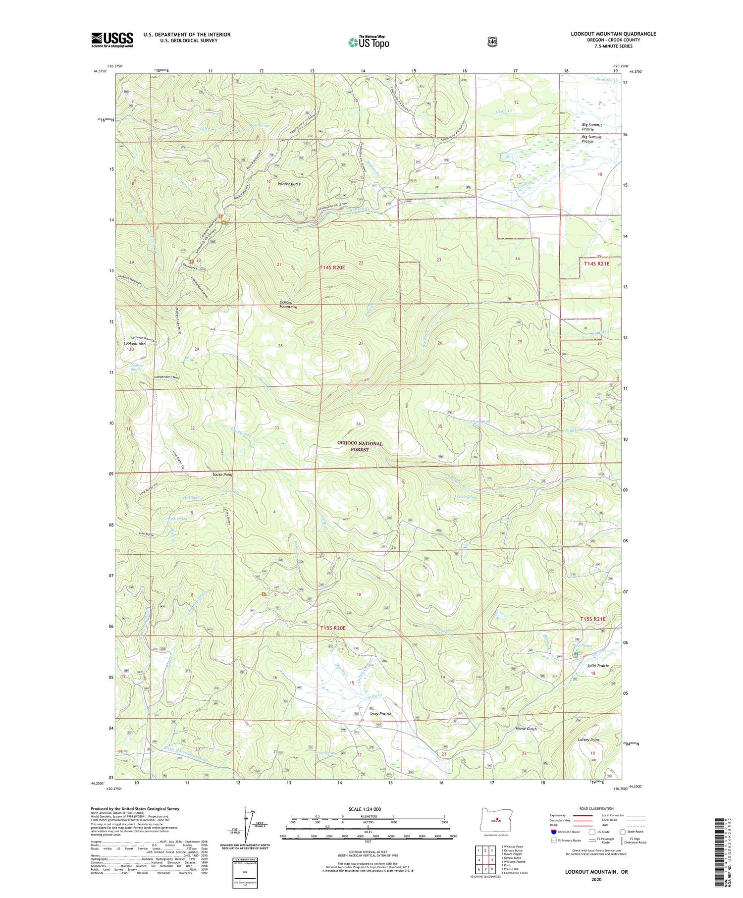
2020 topographic map quadrangle Lookout Mountain in the state of Oregon. Scale: 1:24000. Based on the newly updated USGS 7.5' US Topo map series, this map is in the following counties: Crook. The map contains contour data, water features, and other items you are used to seeing on USGS maps, but also has updated roads and other features. This is the next generation of topographic maps. Printed on high-quality waterproof paper with UV fade-resistant inks.
Quads adjacent to this one:
West: Gerow Butte
Northwest: Whistler Point
North: Ochoco Butte
Northeast: Mount Pisgah
East: Williams Prairie
Southeast: Committee Creek
South: Prairie Hill
Southwest: Post
Contains the following named places: Amity Mine, Biggs Spring, Biggs Spring Recreation Site, Blue Ridge Mine, Buck Creek, Buck Spring, Canyon Creek Campground, Chev Spring, Cline Creek, Crow Spring, Cuitan Creek, Fawn Creek, Gray Prairie, Horse Gulch, Independent Mine, Kemp Spring, Kyle Spring, Little Horse Heaven Creek, Little Spring, Lodgepole Creek, Lookout Mountain, Lookout Mountain Management Area, Lookout Spring, Lost Spring, Lost Spring Reservoir, Lutsey Point, Lytle Creek, Polie Creek, Short Creek, South Point, Spring Creek, Winter Butte, Winter Creek