MyTopo
Murphy Mountain Oregon US Topo Map
Couldn't load pickup availability
Also explore the Murphy Mountain Forest Service Topo of this same quad for updated USFS data
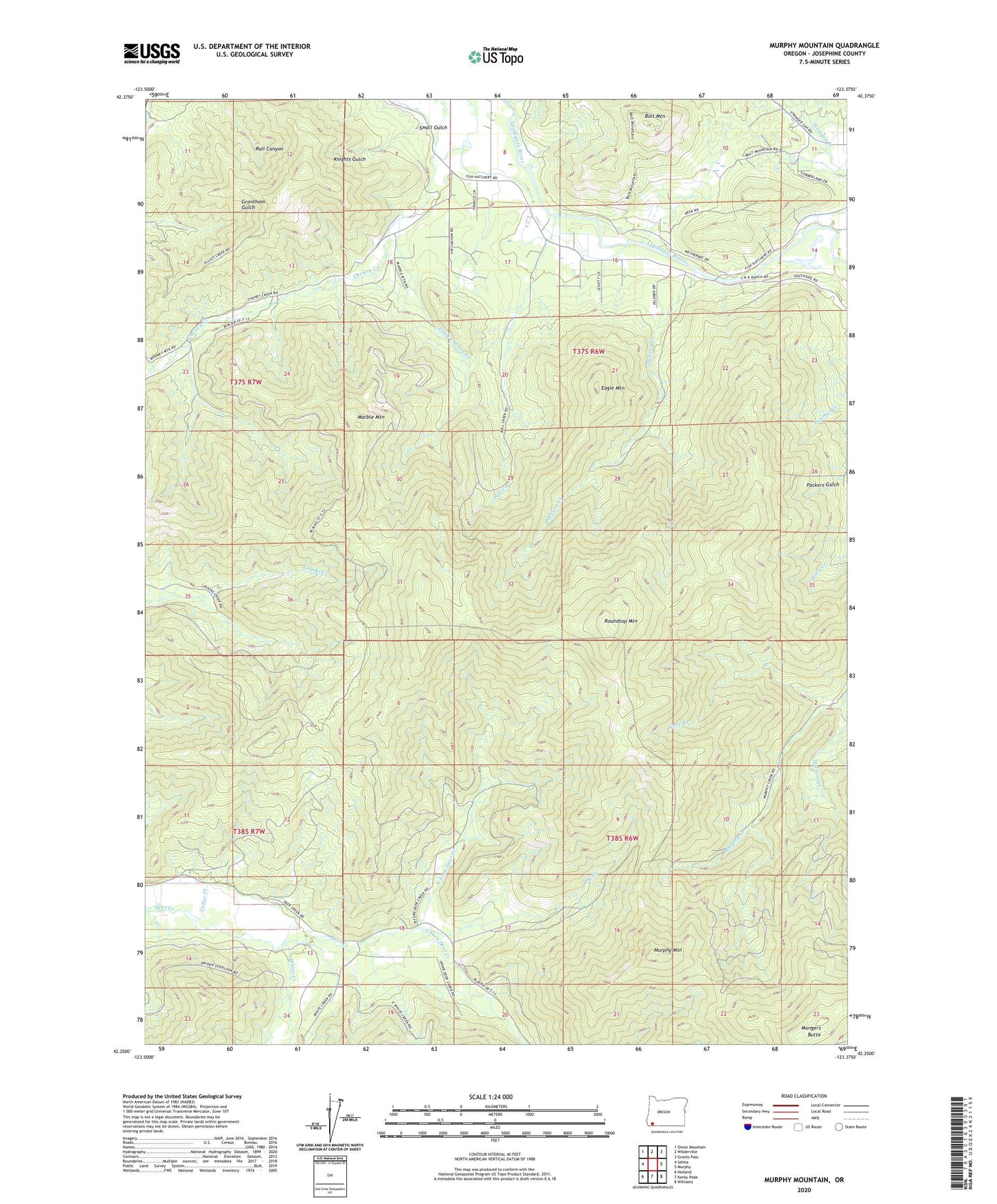
2024 topographic map quadrangle Murphy Mountain in the state of Oregon. Scale: 1:24000. Based on the newly updated USGS 7.5' US Topo map series, this map is in the following counties: Josephine. The map contains contour data, water features, and other items you are used to seeing on USGS maps, but also has updated roads and other features. This is the next generation of topographic maps. Printed on high-quality waterproof paper with UV fade-resistant inks.
Quads adjacent to this one:
West: Selma
Northwest: Onion Mountain
North: Wilderville
Northeast: Grants Pass
East: Murphy
Southeast: Williams
South: Kerby Peak
Southwest: Holland
This map covers the same area as the classic USGS quad with code o42123c4.
Contains the following named places: Bolt Mountain, Bull Creek, Case Creek, Cedar Creek, Cheney Creek, Drier Creek, Dry Creek, Eagle Mountain, Fish Hatchery County Park, Fowlie Creek, Harmon Creek, Jackson Creek, Little Cheney Creek, Marble Mountain, Mungers Butte, Murphy Mountain, North Fork Deer Creek, Roundtop Mountain, Sixmile Recreation Site, Small Gulch, South Fork Deer Creek, Spencer Creek, Stringer Creek, White Creek, Wilderville School, ZIP Code: 97527