MyTopo
Nickel Mountain Oregon US Topo Map
Couldn't load pickup availability
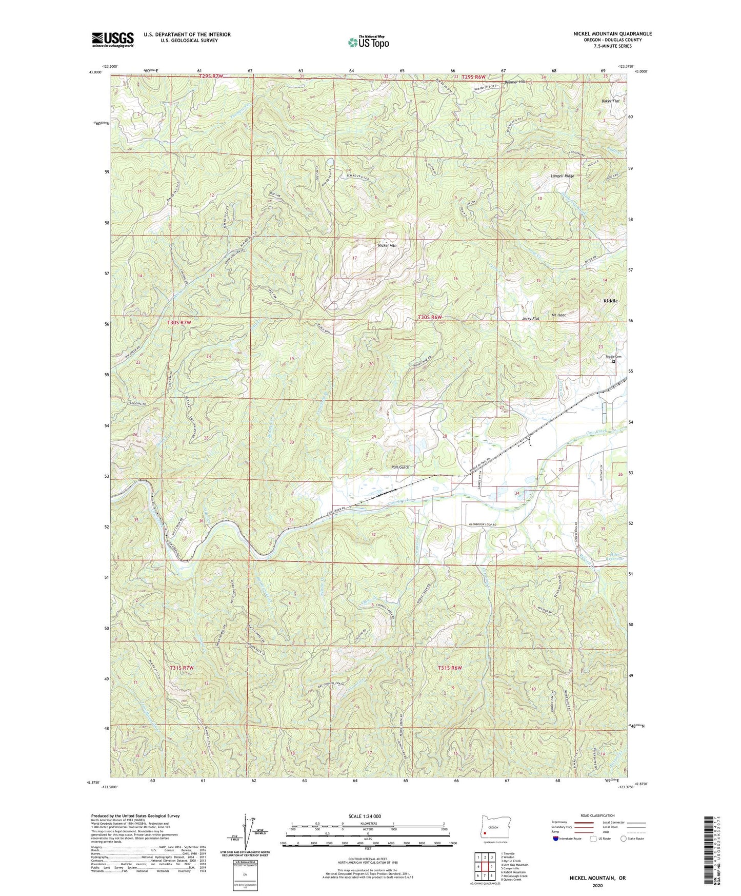
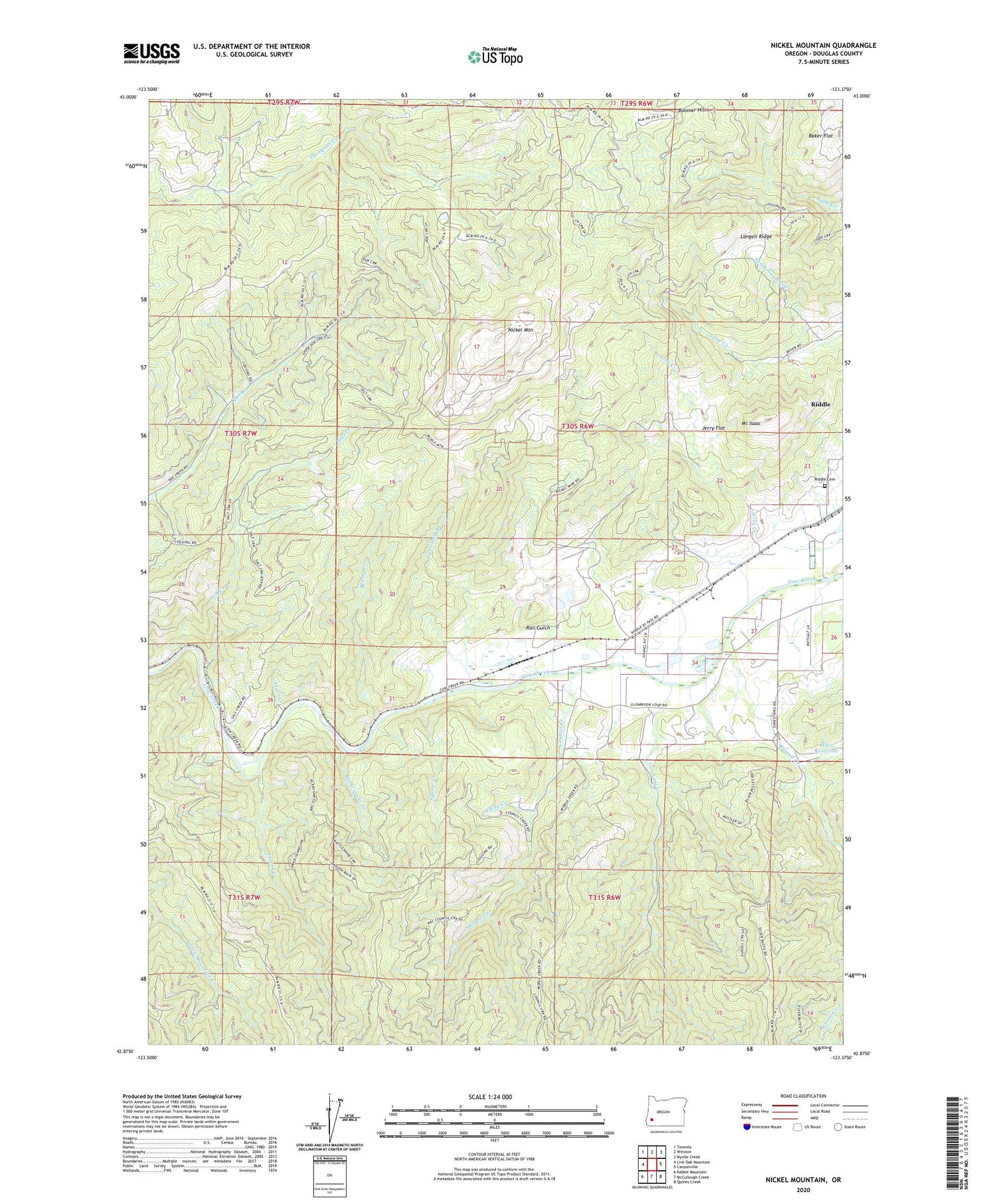
2020 topographic map quadrangle Nickel Mountain in the state of Oregon. Scale: 1:24000. Based on the newly updated USGS 7.5' US Topo map series, this map is in the following counties: Douglas. The map contains contour data, water features, and other items you are used to seeing on USGS maps, but also has updated roads and other features. This is the next generation of topographic maps. Printed on high-quality waterproof paper with UV fade-resistant inks.
Quads adjacent to this one:
West: Live Oak Mountain
Northwest: Tenmile
North: Winston
Northeast: Myrtle Creek
East: Canyonville
Southeast: Quines Creek
South: McCullough Creek
Southwest: Rabbit Mountain
Contains the following named places: Alder Creek, Beatty Creek, Boomer Hill, Catching Creek, China Creek, Cornutt, Council Creek, Crawford Branch, Glenbrook, Hanna Mine, Hiles Reservoir, Island Creek, Jerry Creek, Jerry Flat, Lake Stomar Reservoir, Langell Ridge, Little Doe Creek, Mount Isaac, Nickel Mountain, Rail Gulch, Rattlesnake Creek, Riddle Cemetery, Russell Creek, Salt Creek, Sanderson Brook, Squaw Creek, ZIP Code: 97469