MyTopo
Live Oak Mountain Oregon US Topo Map
Couldn't load pickup availability
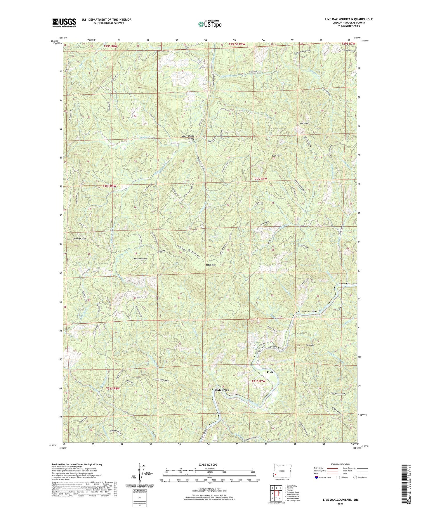
2024 topographic map quadrangle Live Oak Mountain in the state of Oregon. Scale: 1:24000. Based on the newly updated USGS 7.5' US Topo map series, this map is in the following counties: Douglas. The map contains contour data, water features, and other items you are used to seeing on USGS maps, but also has updated roads and other features. This is the next generation of topographic maps. Printed on high-quality waterproof paper with UV fade-resistant inks.
Quads adjacent to this one:
West: Chipmunk Ridge
Northwest: Camas Valley
North: Tenmile
Northeast: Winston
East: Nickel Mountain
Southeast: McCullough Creek
South: Rabbit Mountain
Southwest: Dutchman Butte
This map covers the same area as the classic USGS quad with code o42123h5.
Contains the following named places: Azalea Post Office, Buck Creek, Buck Mountain, Buck Rock, Byers, Cattle Creek, Cookhouse Creek, Dads Creek, Doe Creek, Dribble Creek, Horse Prairie, Iron Mountain, Iron Mountain Creek, Little Dads Creek, Live Oak Mountain, Minnie Creek, Nichols, Nichols Post Office, Peck, Peck Post Office, Polan Creek, Smith Creek, Staircase Creek, Table Creek, Table Mountain, Thompson Creek, Wildcat Creek, Willingham Creek