MyTopo
Sheep Rock Oregon US Topo Map
Couldn't load pickup availability
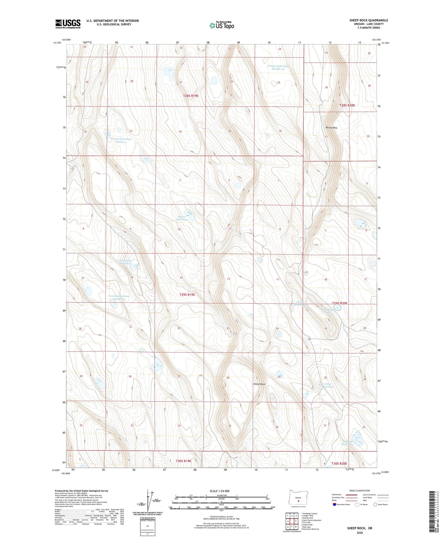
2020 topographic map quadrangle Sheep Rock in the state of Oregon. Scale: 1:24000. Based on the newly updated USGS 7.5' US Topo map series, this map is in the following counties: Lake. The map contains contour data, water features, and other items you are used to seeing on USGS maps, but also has updated roads and other features. This is the next generation of topographic maps. Printed on high-quality waterproof paper with UV fade-resistant inks.
Quads adjacent to this one:
West: Saint Patrick Mountain
Northwest: Fandango Canyon
North: Vaughn Well
Northeast: Buffalo Well
East: Fire Lake
Southeast: Diatomite Reservoir
South: Bull Lake
Southwest: Diablo Peak
Contains the following named places: County Waterhole Number 15, County Waterhole Number 18, County Waterhole Number 3, Dead Horse Lake, Faber Waterhole, Handy Waterhole, Horse Trap Waterhole, Horsetail Waterhole, Impossible Waterhole, Legal Waterhole, Sheep Rock, Square Waterhole, Walking Plow Lake, Z N Reservoir Number 5