MyTopo
Vaughn Well Oregon US Topo Map
Couldn't load pickup availability
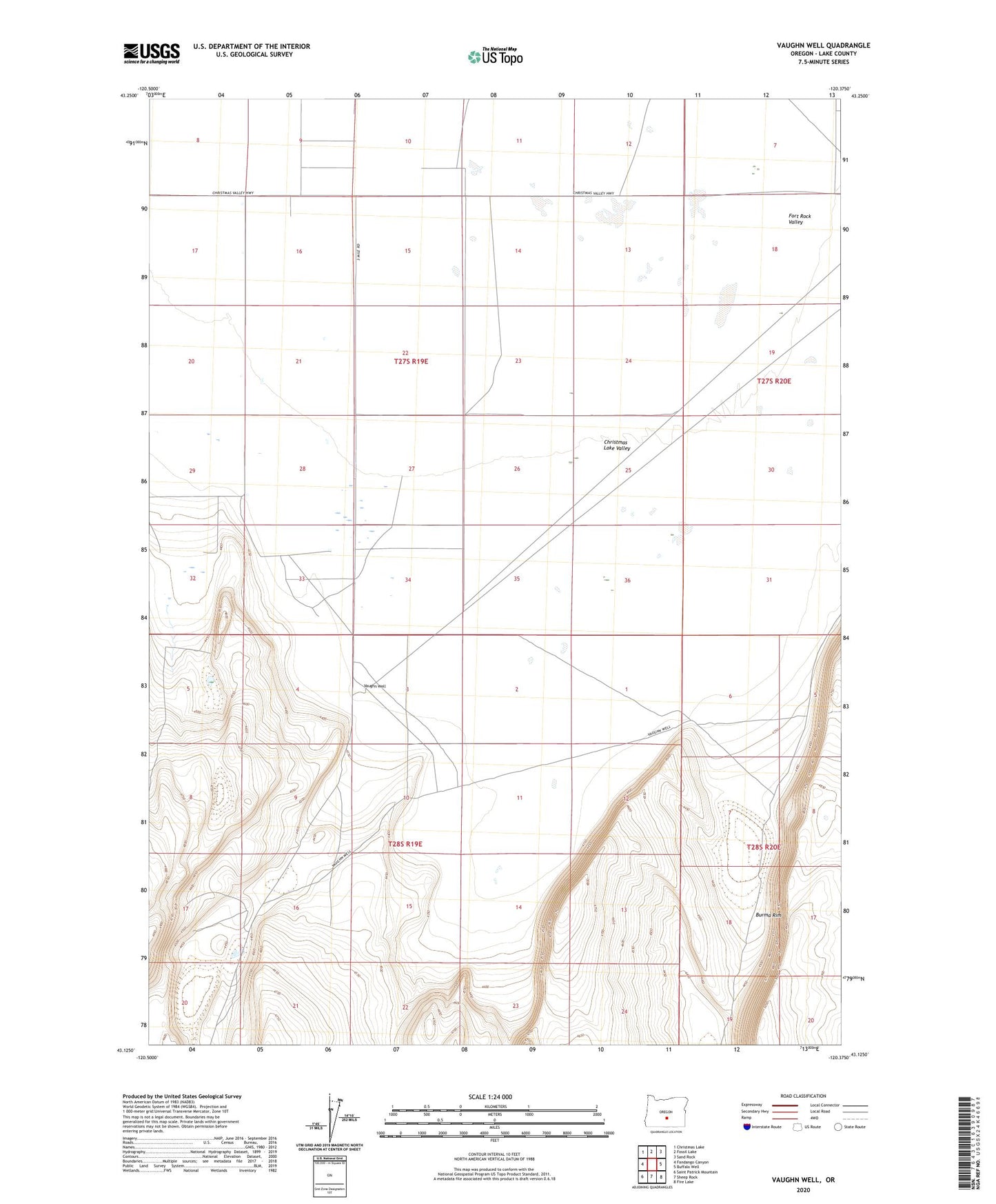
2023 topographic map quadrangle Vaughn Well in the state of Oregon. Scale: 1:24000. Based on the newly updated USGS 7.5' US Topo map series, this map is in the following counties: Lake. The map contains contour data, water features, and other items you are used to seeing on USGS maps, but also has updated roads and other features. This is the next generation of topographic maps. Printed on high-quality waterproof paper with UV fade-resistant inks.
Quads adjacent to this one:
West: Fandango Canyon
Northwest: Christmas Lake
North: Fossil Lake
Northeast: Sand Rock
East: Buffalo Well
Southeast: Fire Lake
South: Sheep Rock
Southwest: Saint Patrick Mountain
This map covers the same area as the classic USGS quad with code o43120b4.
Contains the following named places: Burma Rim, Vaughn Well