MyTopo
Sherars Bridge Oregon US Topo Map
Couldn't load pickup availability
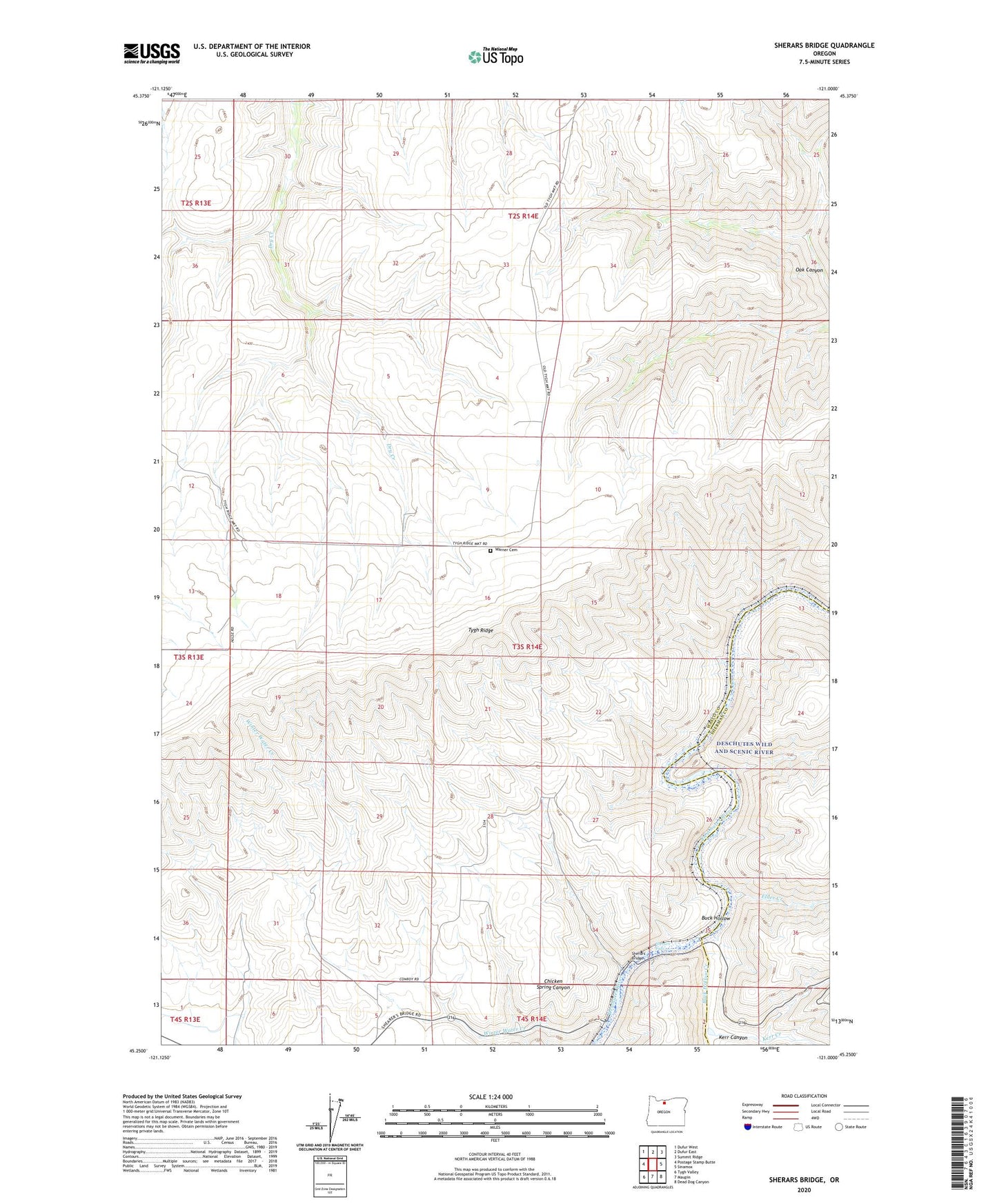
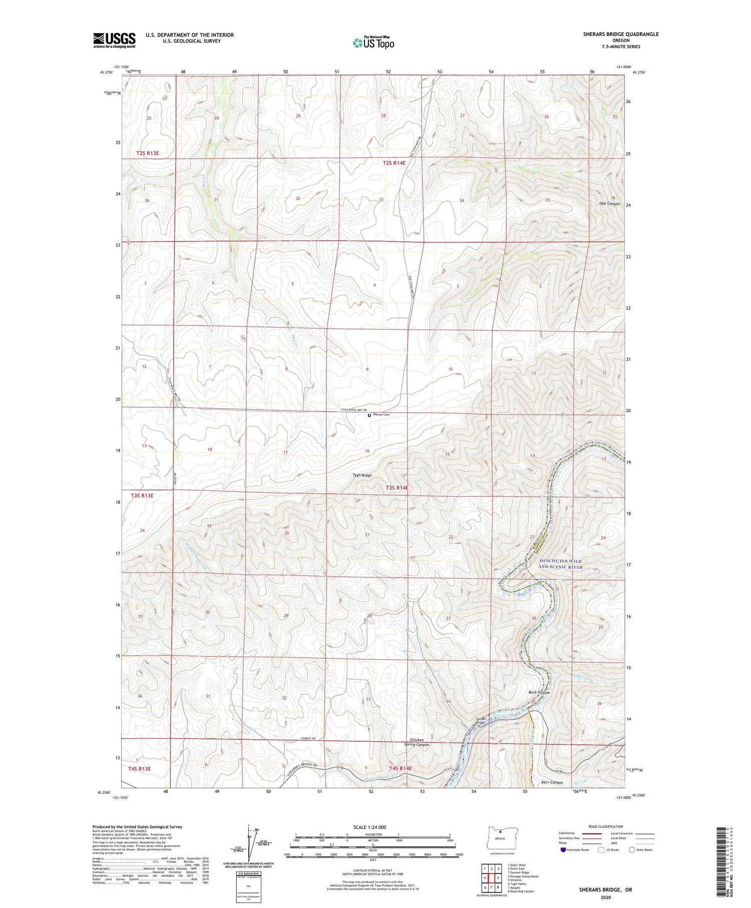
2020 topographic map quadrangle Sherars Bridge in the state of Oregon. Scale: 1:24000. Based on the newly updated USGS 7.5' US Topo map series, this map is in the following counties: Wasco, Sherman. The map contains contour data, water features, and other items you are used to seeing on USGS maps, but also has updated roads and other features. This is the next generation of topographic maps. Printed on high-quality waterproof paper with UV fade-resistant inks.
Quads adjacent to this one:
West: Postage Stamp Butte
Northwest: Dufur West
North: Dufur East
Northeast: Summit Ridge
East: Sinamox
Southeast: Dead Dog Canyon
South: Maupin
Southwest: Tygh Valley
Contains the following named places: Buck Hollow, Buck Hollow Creek, Buckhollow Boat Launch, Chicken Spring Canyon, Deschutes, Deschutes Post Office, Elder Creek, Fargher, Keen Post Office, Kerr Canyon, Kerr Creek, Pine Tree Boat Launch, Sherar, Sherars Bridge, Sherars Bridge Post Office, Sherars Falls, Tygh Ridge, Warner Cemetery, Winter Water Creek