MyTopo
Soldiers Cap Oregon US Topo Map
Couldn't load pickup availability
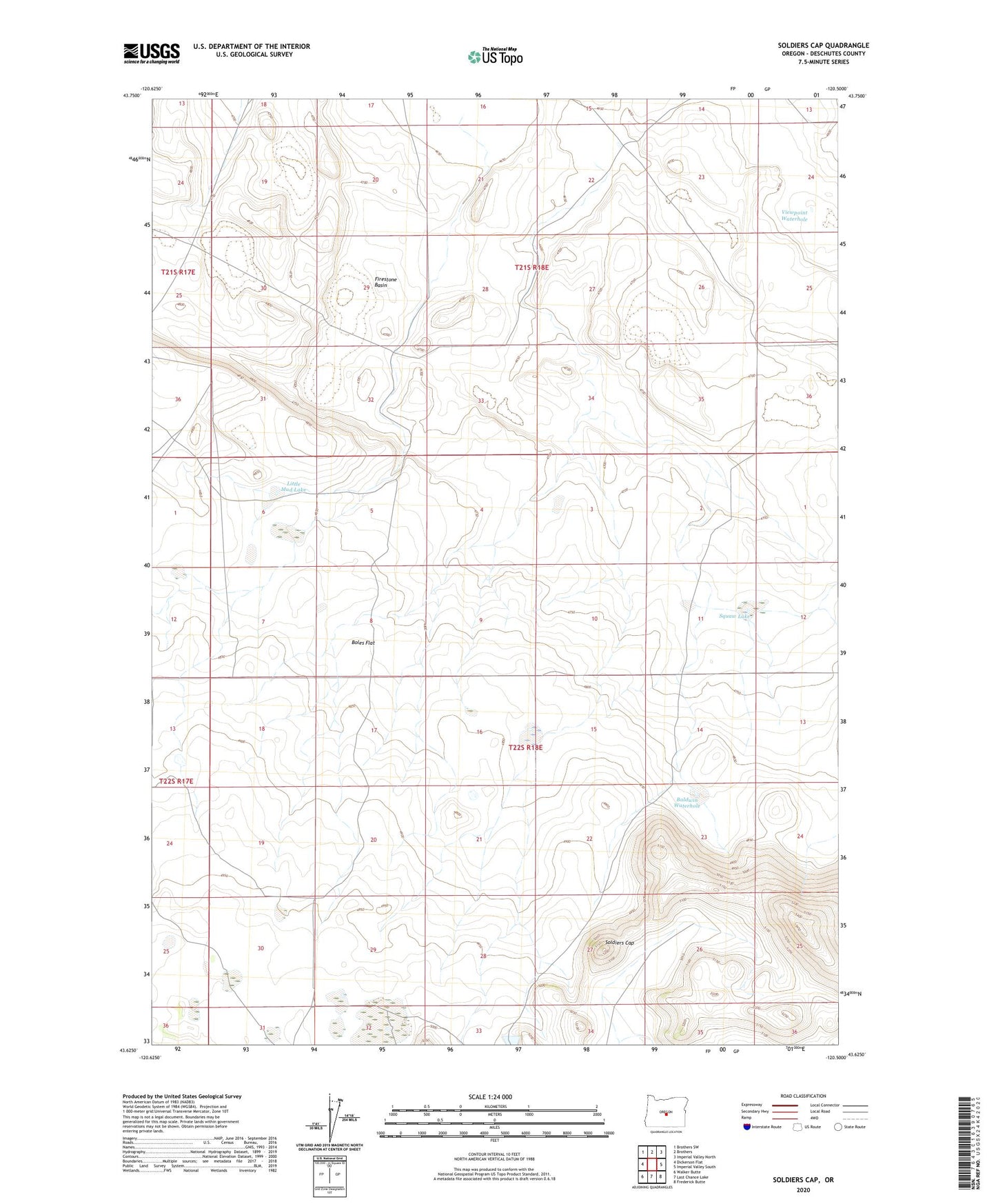
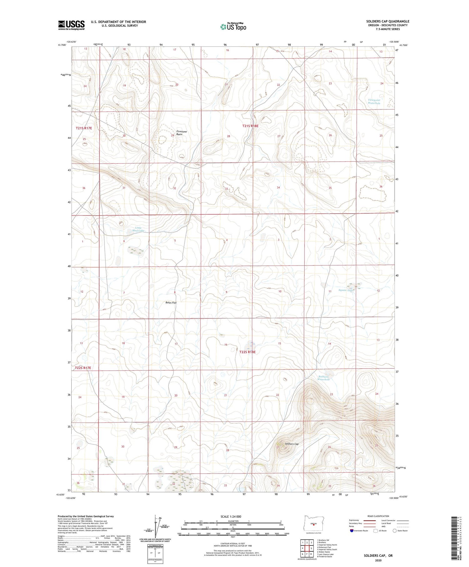
2020 topographic map quadrangle Soldiers Cap in the state of Oregon. Scale: 1:24000. Based on the newly updated USGS 7.5' US Topo map series, this map is in the following counties: Deschutes. The map contains contour data, water features, and other items you are used to seeing on USGS maps, but also has updated roads and other features. This is the next generation of topographic maps. Printed on high-quality waterproof paper with UV fade-resistant inks.
Quads adjacent to this one:
West: Dickerson Flat
Northwest: Brothers SW
North: Brothers
Northeast: Imperial Valley North
East: Imperial Valley South
Southeast: Frederick Butte
South: Last Chance Lake
Southwest: Walker Butte
Contains the following named places: Baldwin Waterhole, Boles Flat, Cruiser Well, Firestone Basin, Frederick Butte Well, Grouse Lake, Little Mud Lake, Porcupine Lake, Soldiers Cap, Squaw Lake, Viewpoint Waterhole