MyTopo
Frederick Butte Oregon US Topo Map
Couldn't load pickup availability
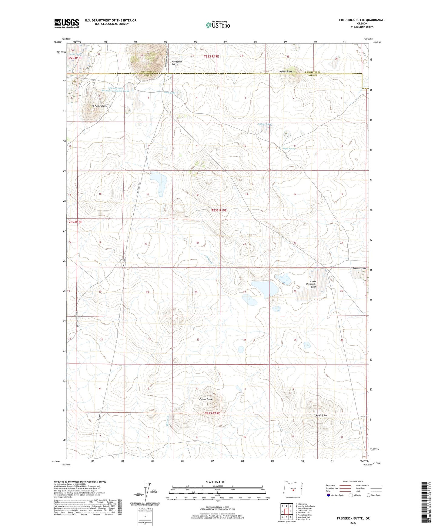
2023 topographic map quadrangle Frederick Butte in the state of Oregon. Scale: 1:24000. Based on the newly updated USGS 7.5' US Topo map series, this map is in the following counties: Lake, Deschutes. The map contains contour data, water features, and other items you are used to seeing on USGS maps, but also has updated roads and other features. This is the next generation of topographic maps. Printed on high-quality waterproof paper with UV fade-resistant inks.
Quads adjacent to this one:
West: Last Chance Lake
Northwest: Soldiers Cap
North: Imperial Valley South
Northeast: West of Hampton
East: Benjamin Lake
Southeast: Moonlight Butte
South: Mean Rock Well
Southwest: Peters Creek Sink
This map covers the same area as the classic USGS quad with code o43120e4.
Contains the following named places: Concentration Reservoir Number Three, Duck Lake, Frederick Butte, Hayes Spring, Indian Butte, Indian Lake, Jim Lake, Line Lake, Little Benjamin Lake, No Name Butte, Peters Butte, West Butte