MyTopo
Summer Lake Oregon US Topo Map
Couldn't load pickup availability
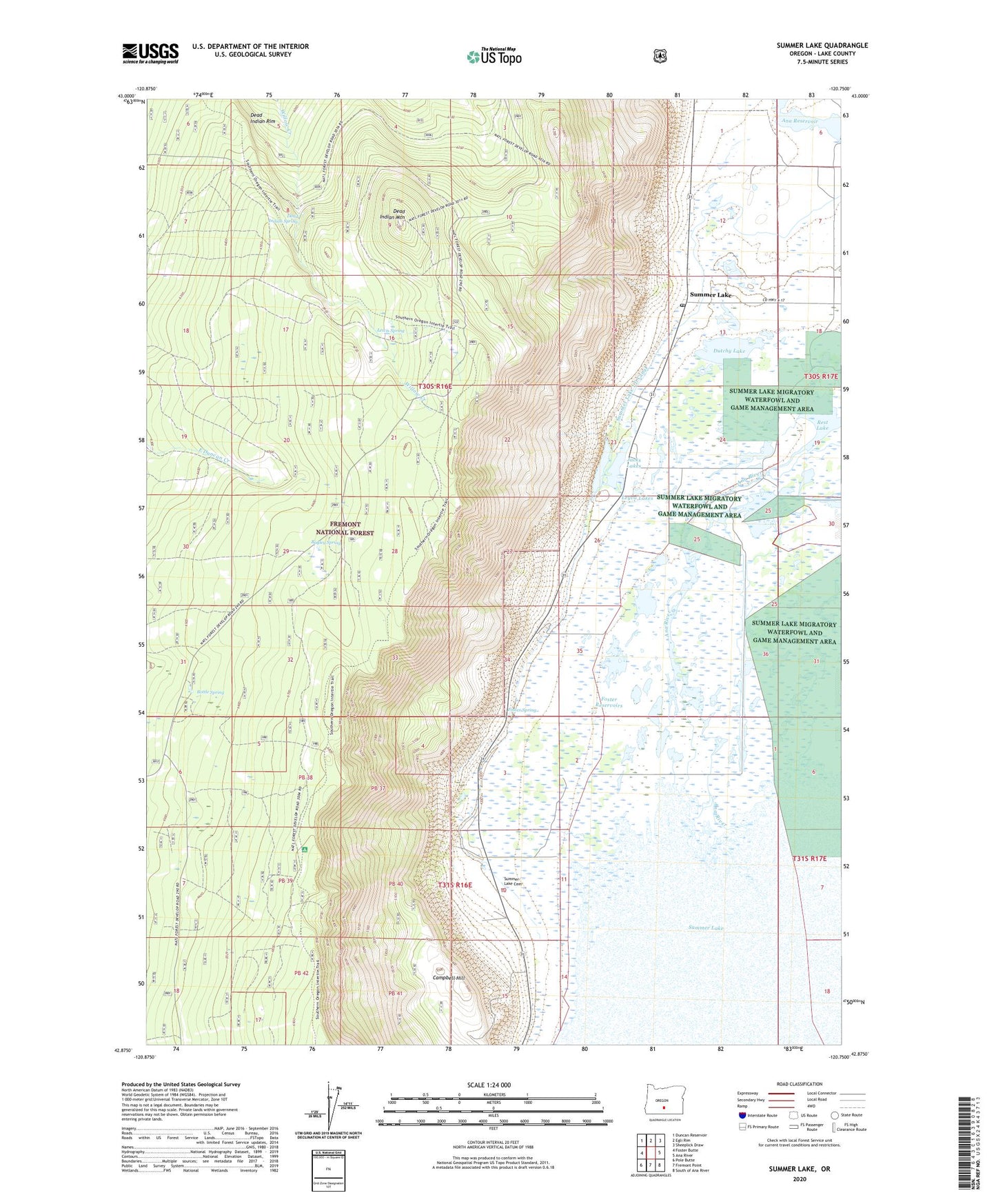
2020 topographic map quadrangle Summer Lake in the state of Oregon. Scale: 1:24000. Based on the newly updated USGS 7.5' US Topo map series, this map is in the following counties: Lake. The map contains contour data, water features, and other items you are used to seeing on USGS maps, but also has updated roads and other features. This is the next generation of topographic maps. Printed on high-quality waterproof paper with UV fade-resistant inks.
Quads adjacent to this one:
West: Foster Butte
Northwest: Duncan Reservoir
North: Egli Rim
Northeast: Sheeplick Draw
East: Ana River
Southeast: South of Ana River
South: Fremont Point
Southwest: Pole Butte
Contains the following named places: Ana Reservoir, Ana River, Ana River School, Bagley Spring, Bottle Spring, Campbell Hill, Dead Indian Mountain, Dead Indian Rim, Dead Indian Spring, Dutchy Lake, Foster Reservoirs, Foster Spring, Gold Dike, Jacks Lakes, Lewis Spring, Leyva Lakes, Ponderosa Paraglide Launch Area, Rest Lake, S D Harris Ranch, Summer Lake, Summer Lake Cemetery, Summer Lake I D Canal, Summer Lake Post Office, Summer Lake Safety Rest Area, Summer Lake State Wildlife Area, Turner Place, Windbreak Dike