MyTopo
The V Oregon US Topo Map
Couldn't load pickup availability
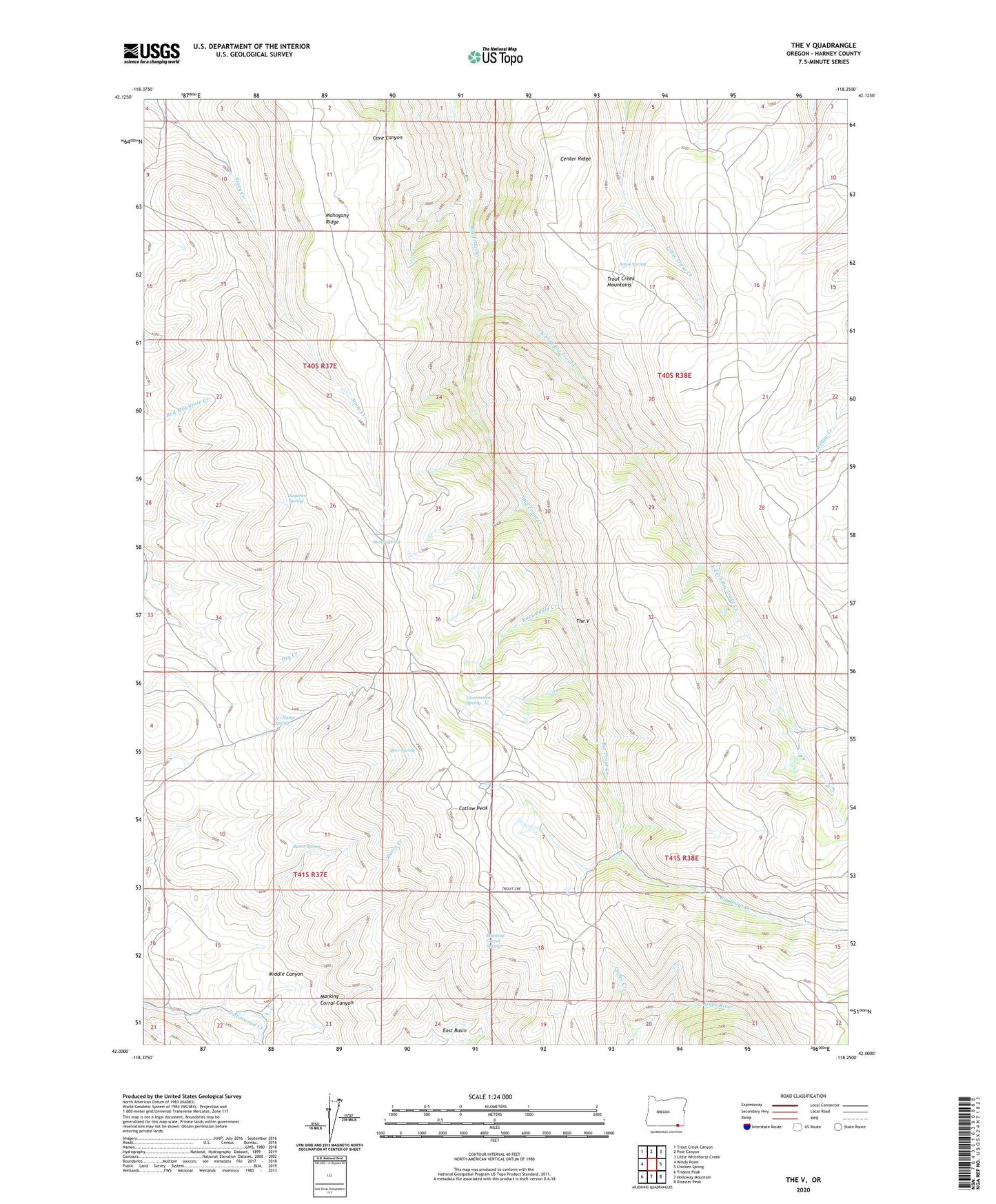
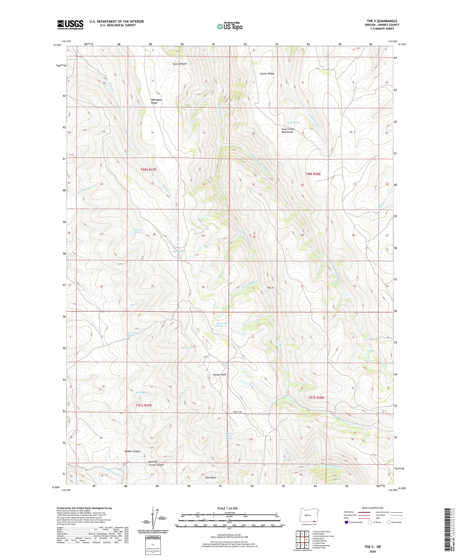
2020 topographic map quadrangle The V in the state of Oregon. Scale: 1:24000. Based on the newly updated USGS 7.5' US Topo map series, this map is in the following counties: Harney. The map contains contour data, water features, and other items you are used to seeing on USGS maps, but also has updated roads and other features. This is the next generation of topographic maps. Printed on high-quality waterproof paper with UV fade-resistant inks.
Quads adjacent to this one:
West: Windy Point
Northwest: Trout Creek Canyon
North: Pole Canyon
Northeast: Little Whitehorse Creek
East: Chicken Spring
Southeast: Disaster Peak
South: Holloway Mountain
Southwest: Trident Peak
Contains the following named places: Amos Spring, Burro Creek, Burro Spring, Catlow Peak, Coffee Creek, Deer Spring, East Basin, East Fork Big Trout Creek, Government Corral, Government Spring, Horseshoe Corral, Mahogany Ridge, Marking Corral Canyon, Marking Corral Spring, Middle Canyon, No Name Spring, Rock Cabin Creek, Sagehen Spring, Stony Spring, The V, Trout Creek Mountains