MyTopo
Twelvemile Ridge Oregon US Topo Map
Couldn't load pickup availability
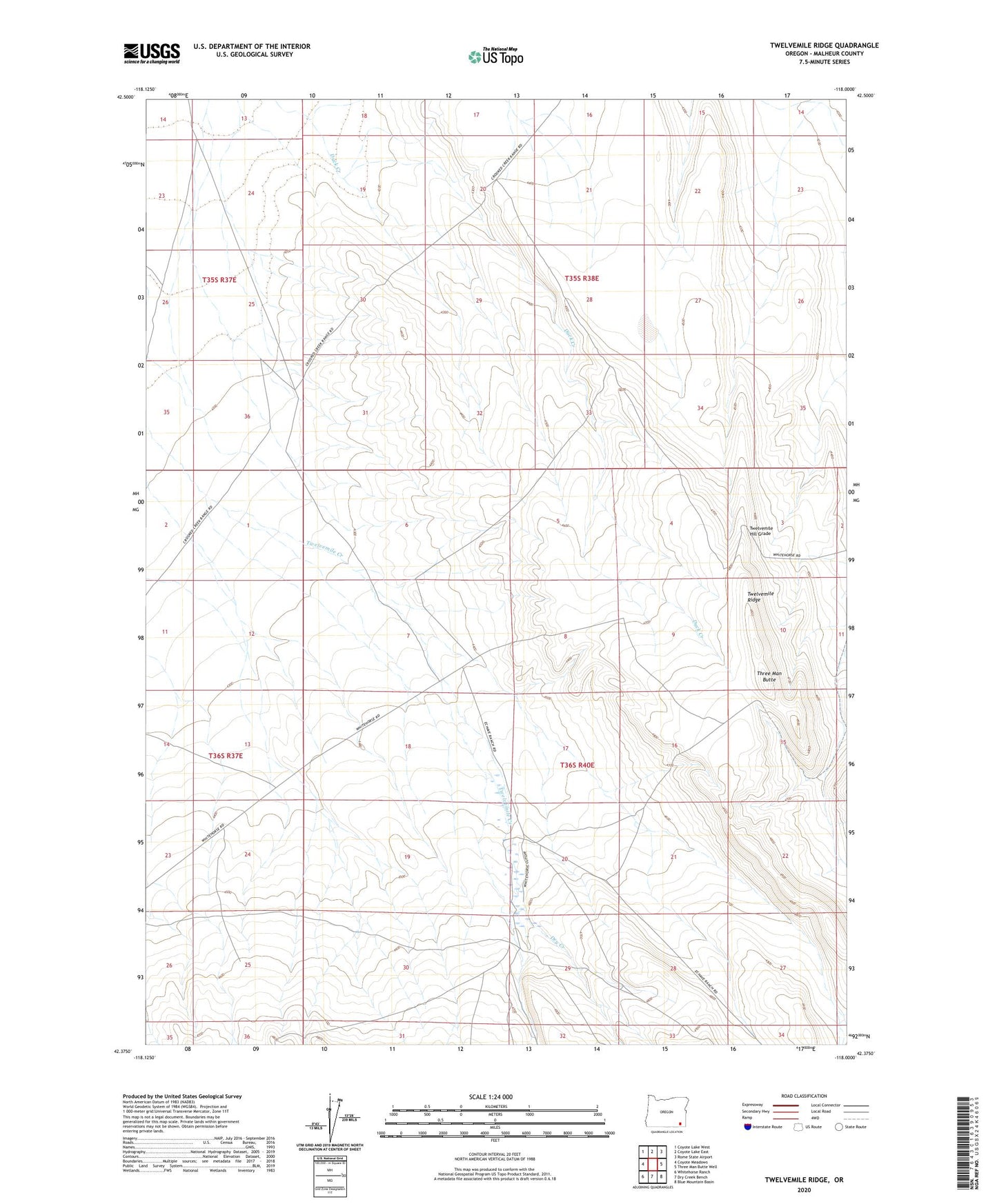
2023 topographic map quadrangle Twelvemile Ridge in the state of Oregon. Scale: 1:24000. Based on the newly updated USGS 7.5' US Topo map series, this map is in the following counties: Malheur. The map contains contour data, water features, and other items you are used to seeing on USGS maps, but also has updated roads and other features. This is the next generation of topographic maps. Printed on high-quality waterproof paper with UV fade-resistant inks.
Quads adjacent to this one:
West: Coyote Meadows
Northwest: Coyote Lake West
North: Coyote Lake East
Northeast: Rome State Airport
East: Three Man Butte Well
Southeast: Blue Mountain Basin
South: Dry Creek Bench
Southwest: Whitehorse Ranch
This map covers the same area as the classic USGS quad with code o42118d1.
Contains the following named places: Dry Creek, Three Man Butte, Twelvemile Creek, Twelvemile Hill Grade, Twelvemile Ranch, Twelvemile Ridge