MyTopo
Barkeyville Pennsylvania US Topo Map
Couldn't load pickup availability
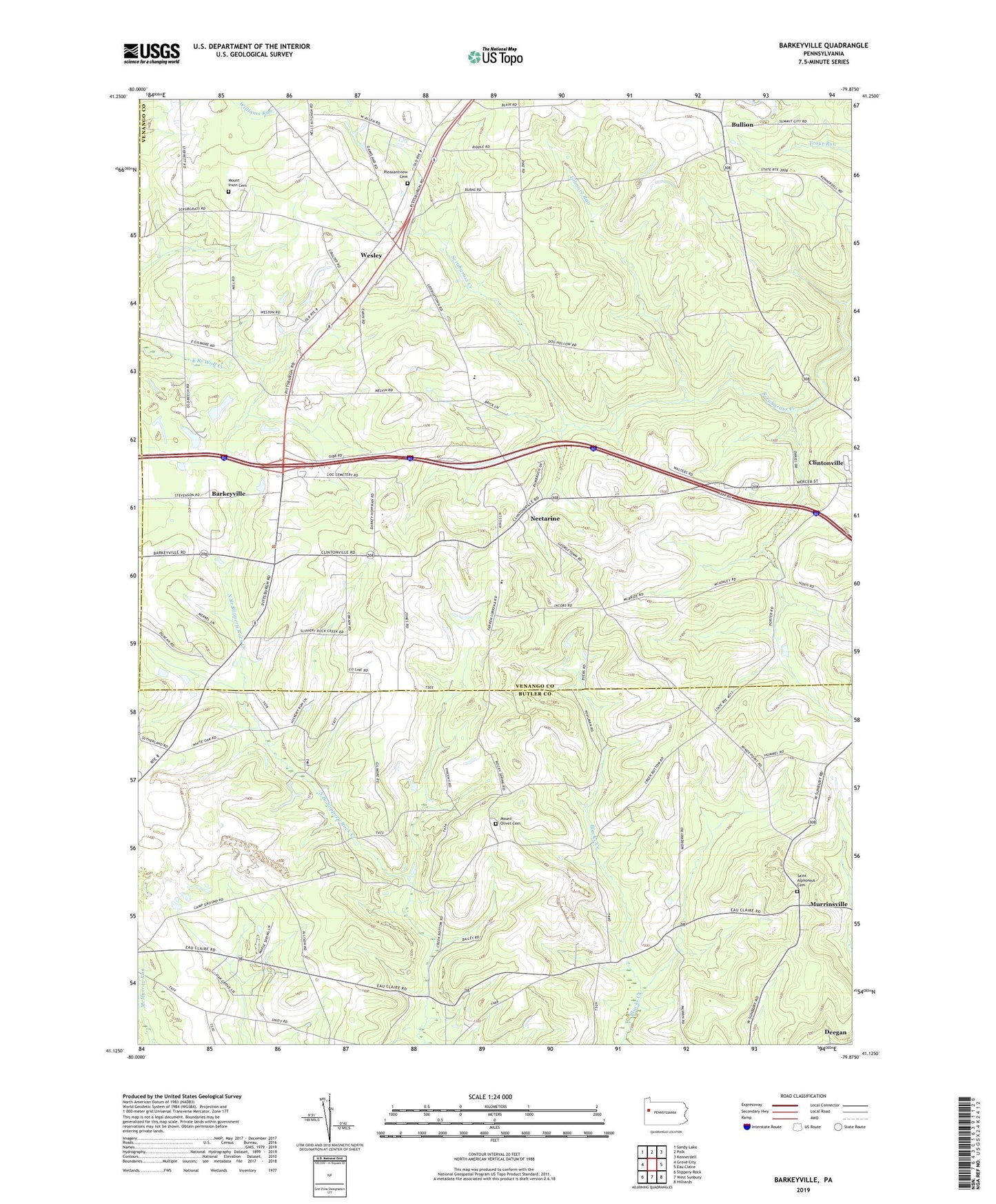
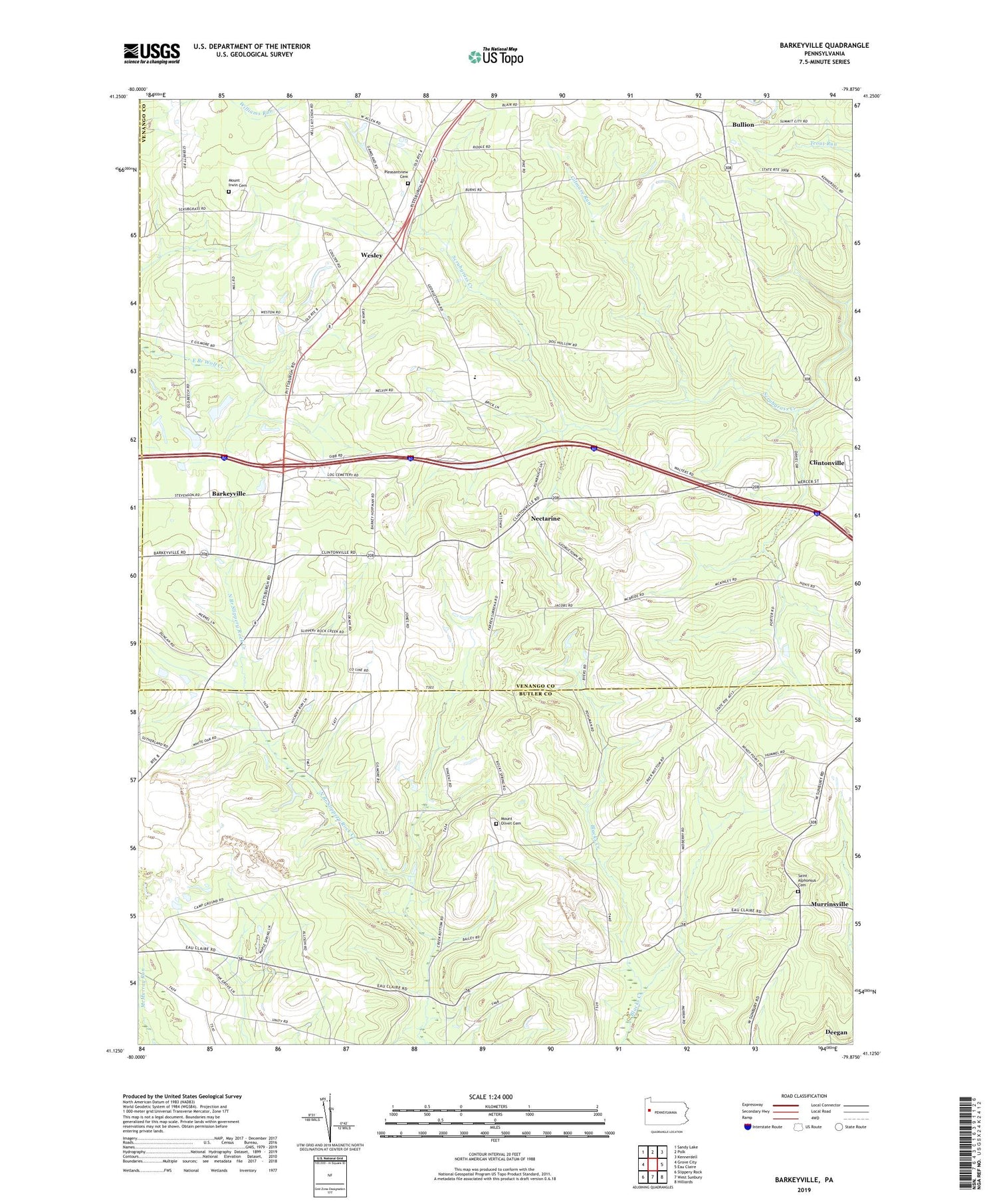
2019 topographic map quadrangle Barkeyville in the state of Pennsylvania. Scale: 1:24000. Based on the newly updated USGS 7.5' US Topo map series, this map is in the following counties: Venango, Butler, Mercer. The map contains contour data, water features, and other items you are used to seeing on USGS maps, but also has updated roads and other features. This is the next generation of topographic maps. Printed on high-quality waterproof paper with UV fade-resistant inks.
Quads adjacent to this one:
West: Grove City
Northwest: Sandy Lake
North: Polk
Northeast: Kennerdell
East: Eau Claire
Southeast: Hilliards
South: West Sunbury
Southwest: Slippery Rock
Contains the following named places: Allen Corners, Amity Church, Barkeyville, Borough of Barkeyville, Brush Hill School, Bullion, Deegan, Eakin School, Gillmans Mill, Gilmore Run, Harrisville Quarry, Jones School, Kimes School, Mount Irwin Cemetery, Mount Olivet Cemetery, Murrinsville, Nectarine, Peters Chapel, Pike School, Pleasant View Church, Pleasantview Cemetery, Rocky Springs Church, Saint Alphonsus Cemetery, Surrena School, Township of Irwin, Township of Marion, Van Dyke School, Victory Joint School, Victory School, Walters School, Wesley, Wesley Post Office, Whiteoak School, Yard School, ZIP Code: 16038