
MyTopo
Dayton Pennsylvania US Topo Map
Couldn't load pickup availability
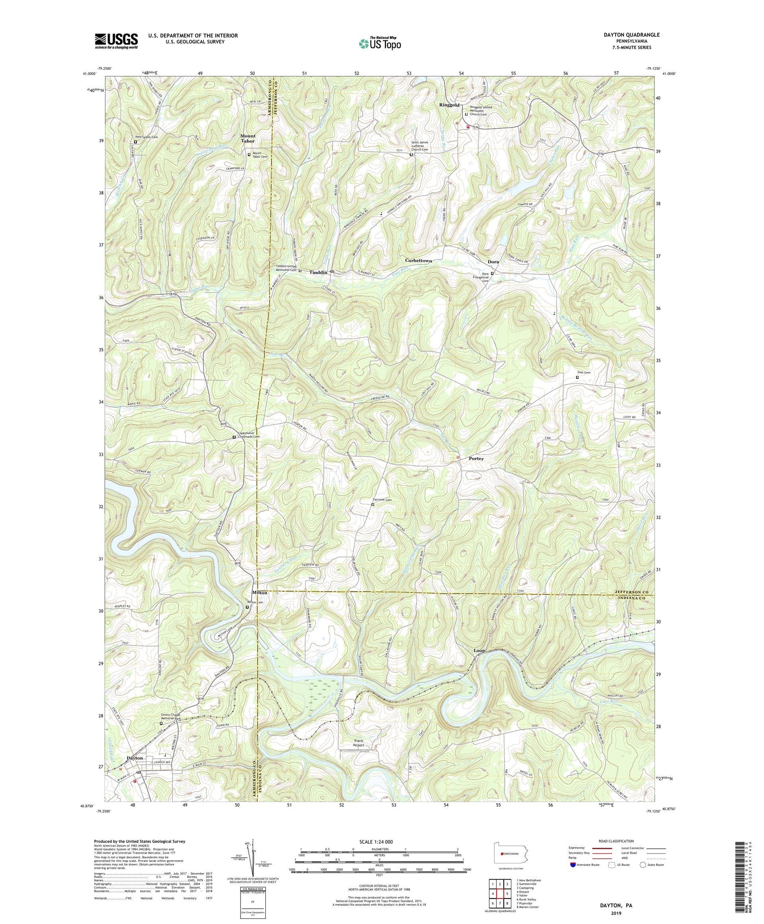
2019 topographic map quadrangle Dayton in the state of Pennsylvania. Scale: 1:24000. Based on the newly updated USGS 7.5' US Topo map series, this map is in the following counties: Jefferson, Armstrong, Indiana. The map contains contour data, water features, and other items you are used to seeing on USGS maps, but also has updated roads and other features. This is the next generation of topographic maps. Printed on high-quality waterproof paper with UV fade-resistant inks.
Quads adjacent to this one:
West: Distant
Northwest: New Bethlehem
North: Summerville
Northeast: Coolspring
East: Valier
Southeast: Marion Center
South: Plumville
Southwest: Rural Valley
Contains the following named places: Borough of Dayton, Borough of Timblin, Carr Run, Caylor Run, Copenhaver Crossroads Cemetery, Corbettown, Dayton, Dayton District Volunteer Fire Company Station 30, Dayton Elementary School, Dayton High School, Dayton Post Office, Dora, Dora Evangelical Cemetery, Doverspike Number Two Dam, Dry Ridge School, Eagle Run, Eagle Valley, Emory Chapel Memorial Park, Fairview Cemetery, Fairview School, Foundry Run, Goodville, Hamilton Run, Independence, Little Mahoning Creek, Loop, Mahoning Creek Lake, Mc Gregor, Middle Branch Pine Run, Milton, Milton Cemetery, Mount Tabor, Mount Tabor Cemetery, New Salem, New Salem Cemetery, North Point, Nye Branch, Painter Run, Porter, Reitz School, Ringgold, Ringgold Area Volunteer Fire Company Station 9, Ringgold United Methodist Church Cemetery, Saint James Church, Saint James Lutheran Church Cemetery, Schrauger School, Smicksburg Station, Steer Run, Sugarcamp Run, Sunrise, Timblin, Timblin Post Office, Timblin United Methodist Cemetery, Township of Porter, Travis Airport, Zion Cemetery, Zion Church, ZIP Code: 15778


