MyTopo
Greenville East Pennsylvania US Topo Map
Couldn't load pickup availability
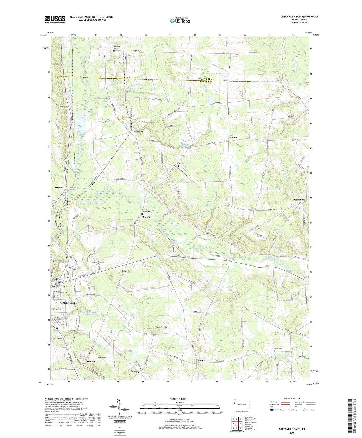
2023 topographic map quadrangle Greenville East in the state of Pennsylvania. Scale: 1:24000. Based on the newly updated USGS 7.5' US Topo map series, this map is in the following counties: Mercer, Crawford. The map contains contour data, water features, and other items you are used to seeing on USGS maps, but also has updated roads and other features. This is the next generation of topographic maps. Printed on high-quality waterproof paper with UV fade-resistant inks.
Quads adjacent to this one:
West: Greenville West
Northwest: Hartstown
North: Conneaut Lake
Northeast: Geneva
East: Hadley
Southeast: Jackson Center
South: Fredonia
Southwest: Sharpsville
This map covers the same area as the classic USGS quad with code o41080d3.
Contains the following named places: Amasa Station, Amish Cemetery Number 2, Bluff Run, Camp Rowland, Crooked Creek, Freeland Cemetery, Furance Corners, Greenville Dam Number Three, Greenville Reservoir, Greenville Senior High School, Hadley Dam, Hadley Dam Reservoir, Hempfield Elementary School, Hempfield Township Police Department, Hempfield Township Volunteer Fire Department Station 2, Hempfield Township Volunteer Fire Department Station 94, Henlein, Jim Lee Airport, K O Junction, Kashner, Kennard, Leechs Corners, Life Force of Western Pennsylvania, Mathay Dam, Mathay Run Pond, Minis Hollow Run, Minnis Corner, Morrison Run, North Salem Church, Old Saint Glory Cemetery, Old Salem Church Cemetery, Osborn, Osgood, Petersburg, Pinehill Golf Course, Quarry Hill, Salem, Salem Cemetery, Saul Run Dam, Saul Run Dam Reservoir, Snyder Hill, Stevenson Cemetery, Township of Hempfield, Township of Otter Creek, Township of Salem, Township of Sugar Grove, University of Pennsylvania Medical Center Horizon Greenville, Wheeler Hill, ZIP Code: 16125


