MyTopo
Harborcreek Pennsylvania US Topo Map
Couldn't load pickup availability
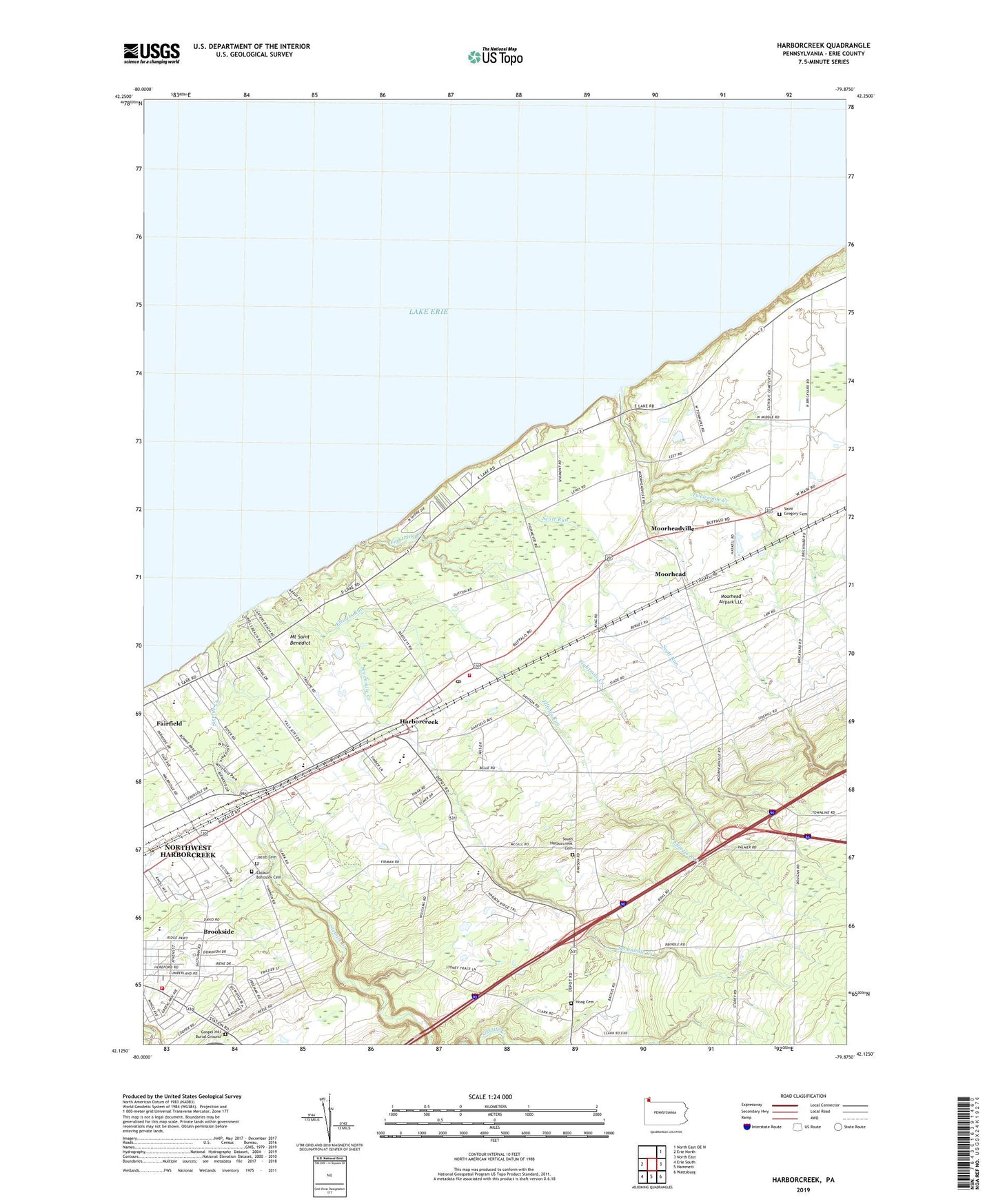
2019 topographic map quadrangle Harborcreek in the state of Pennsylvania. Scale: 1:24000. Based on the newly updated USGS 7.5' US Topo map series, this map is in the following counties: Erie. The map contains contour data, water features, and other items you are used to seeing on USGS maps, but also has updated roads and other features. This is the next generation of topographic maps. Printed on high-quality waterproof paper with UV fade-resistant inks.
Quads adjacent to this one:
West: Erie North
East: North East
Southeast: Wattsburg
South: Hammett
Southwest: Erie South
Contains the following named places: Arens Corners, Brookside, Brookside Volunteer Fire Company Erie County Station 24, Central School, Clark Elementary School, Eades Corners, Eaoaun Bohoslov Cemetery, Eightmile Creek, Elliotts Run, EmergyCare Harborcreek, Faith Lutheran Church, Gospel Hill Burial Ground, Gospel Hill Golf Course, Green Meadows Golf Course, Harborcreek, Harborcreek Fire Department Erie County Department 22, Harborcreek Junior-Senior High School, Harborcreek Post Office, Harborcreek School for Boys, Hoag Cemetery, Hope Church, Jacob Cemetery, Klein Elementary School, Moorhead, Moorhead Airpark LLC, Moorheadville, Mount Saint Benedict, Nelson Fruit Farm, Nelsons Farm Airport, Northwest Harborcreek Census Designated Place, Our Lady of Mercy Church, Richter Farms, Saint Gregory Cemetery, Scott Run, Sevenmile Creek, Shades Beach County Boat Livery, Sheridan Corners, Sixmile Creek, South Harborcreek Cemetery, South Harborcreek Church, Township of Harborcreek, Twelvemile Creek, Whitford Park, ZIP Codes: 16421, 16511