
MyTopo
Kennerdell Pennsylvania US Topo Map
Couldn't load pickup availability
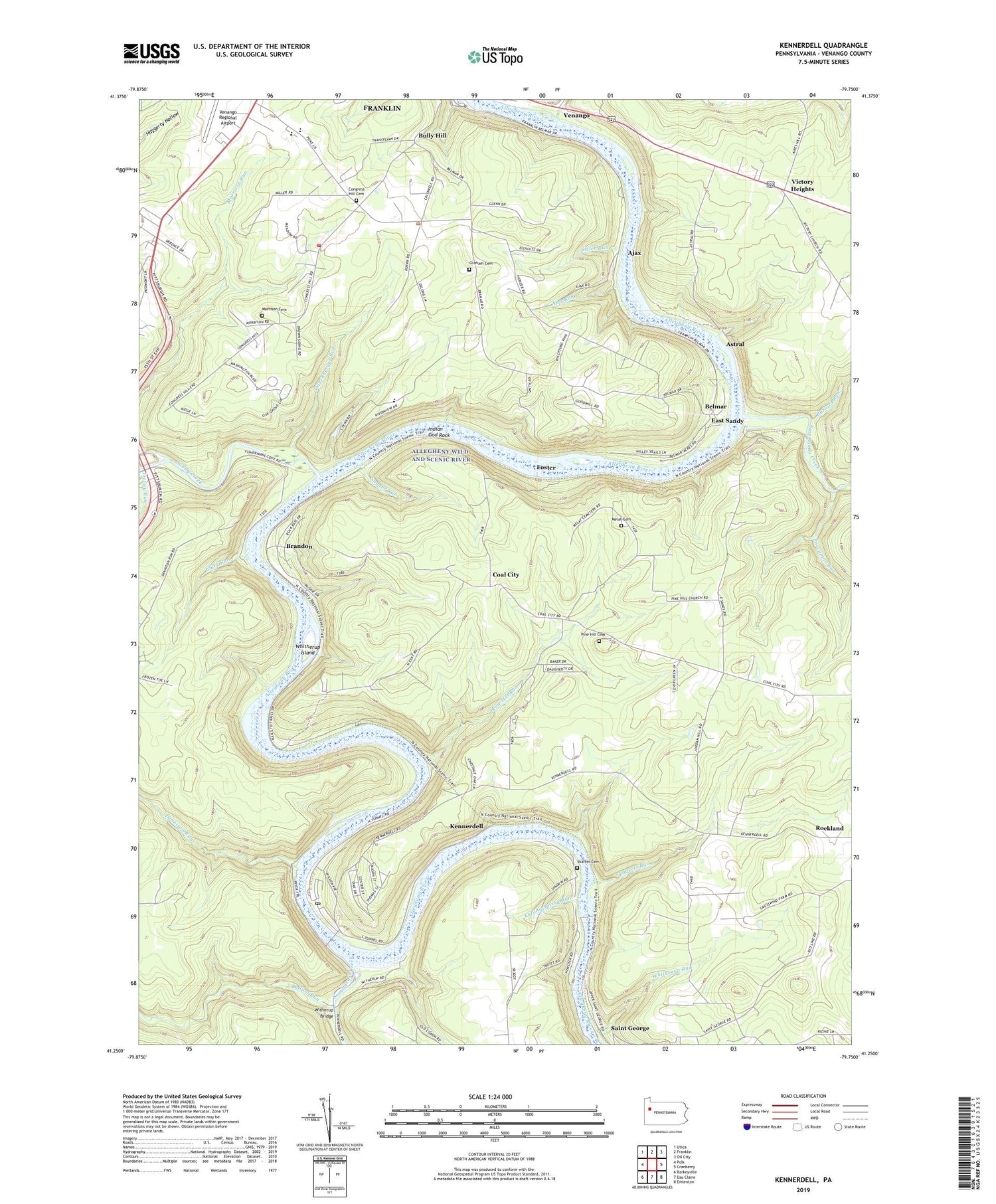
2019 topographic map quadrangle Kennerdell in the state of Pennsylvania. Scale: 1:24000. Based on the newly updated USGS 7.5' US Topo map series, this map is in the following counties: Venango. The map contains contour data, water features, and other items you are used to seeing on USGS maps, but also has updated roads and other features. This is the next generation of topographic maps. Printed on high-quality waterproof paper with UV fade-resistant inks.
Quads adjacent to this one:
West: Polk
Northwest: Utica
North: Franklin
Northeast: Oil City
East: Cranberry
Southeast: Emlenton
South: Eau Claire
Southwest: Barkeyville
Contains the following named places: Ajax, Ajax Run, Astral, Belmar, Brandon, Bullion Run, Bully Hill, Burford Run, Clark Run, Clear Creek State Forest Kennerdell Tract, Coal City, Congress Hill Cemetery, Congress Hill Church, Congress Hill School, Dennison Run, Ditzenberger Run, Domer Church, East Grove Church, East Sandy, East Sandy Creek, Falling Spring Run, Foster, Franklin Area High School, Franklin Area Middle School, Graham, Graham Cemetery, Graham Church, Grove City College Outting Club, Indian God Rock, Kennerdell, Kennerdell Census Designated Place, Kennerdell Post Office, Lower Twomile Run, Melat Cemetery, Morrison Family Cemetery, Mount Carmel Church, Pine Hill Cemetery, Pine Hill Church, Pine Hill Run, Porcupine Run, Roberts Run, Rockland Church, Saint George, Sandy Creek, Sandycreek Elementary School, Sandycreek Township Volunteer Fire Department, Scrubgrass Creek, Shaffer Cemetery, Siefer Run, Smiths Corners, Snyder Run, Township of Sandycreek, Twin Churchs, Venango, Victory Heights, Victory Run, Whitherup Island, Whitherup Run, Witherup Bridge, ZIP Code: 16374


