MyTopo
Cranberry Pennsylvania US Topo Map
Couldn't load pickup availability
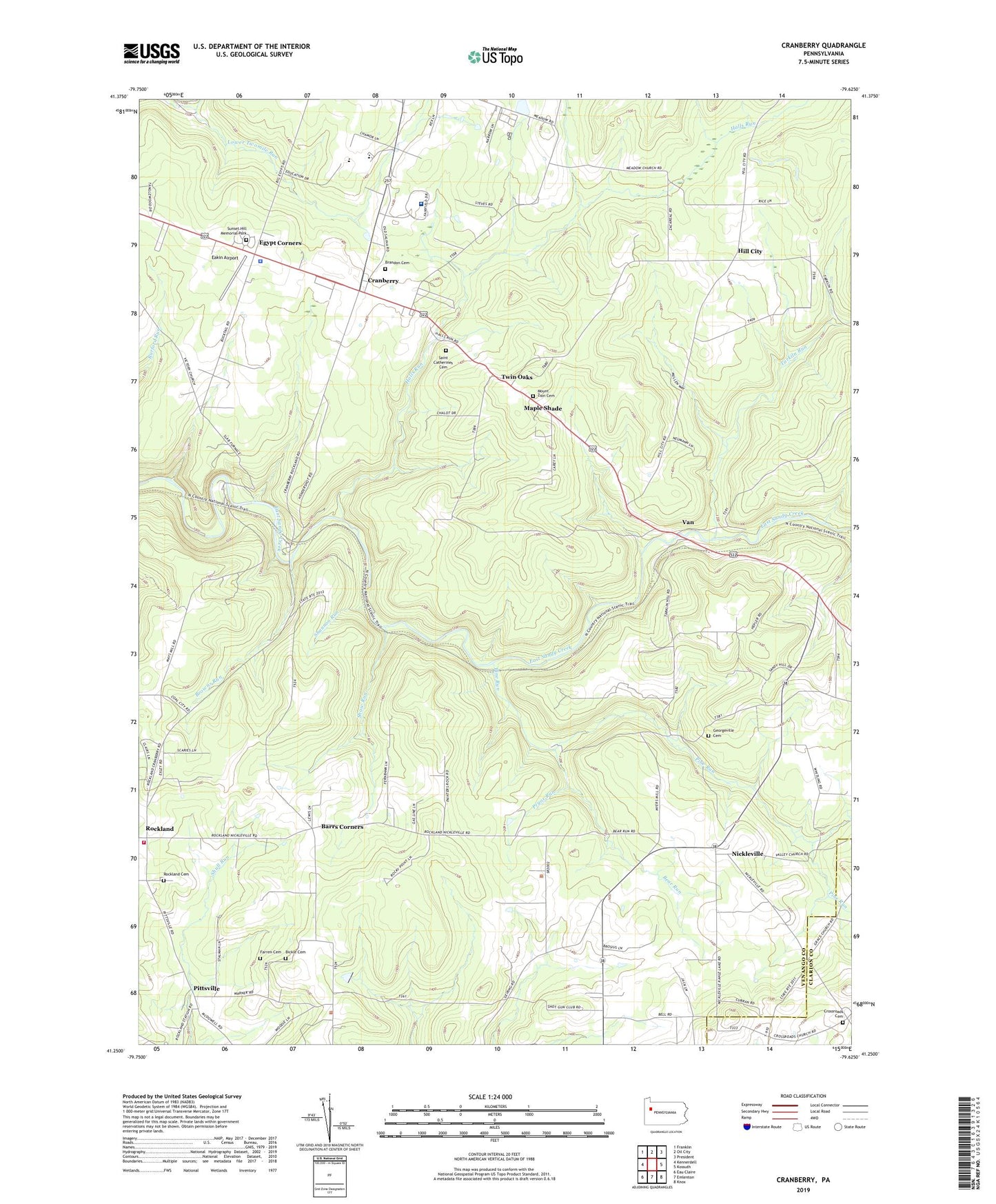
2023 topographic map quadrangle Cranberry in the state of Pennsylvania. Scale: 1:24000. Based on the newly updated USGS 7.5' US Topo map series, this map is in the following counties: Venango, Clarion. The map contains contour data, water features, and other items you are used to seeing on USGS maps, but also has updated roads and other features. This is the next generation of topographic maps. Printed on high-quality waterproof paper with UV fade-resistant inks.
Quads adjacent to this one:
West: Kennerdell
Northwest: Franklin
North: Oil City
Northeast: President
East: Kossuth
Southeast: Knox
South: Emlenton
Southwest: Eau Claire
This map covers the same area as the classic USGS quad with code o41079c6.
Contains the following named places: Adams Corners, Barrs Corners, Bear Run, Bethany Church, Bickle Cemetery, Bissel Park, Brandon Cemetery, Browns Run, Carl, Cass Post Office, Cramp School, Cranberry, Cranberry Elementary School, Cranberry Post Office, Criswell School, Crossroads Cemetery, Eakin Airport, East Sandy School, Egypt Corners, Ella Gardner Corners, Emlenton Spur, Farren Cemetery, Fern, Georgeville Cemetery, Halls Run, Hill City, Lamberton School, Maple Hollow School, Maple Shade, Meadow Church, Mount Zion Cemetery, Myers School, Nickleville, Pennsylvania State Police Troop E Franklin Station, Pine Run, Pittsville, Pittsville Post Office, Pryor Run, Rockland, Rockland Cemetery, Rockland Post Office, Rockland Township Volunteer Fire Department, Saint Catherines Cemetery, Seneca Airpark, Shannon Run, Shaw Run, State Game Lands Number 45, Sunset Hill Memorial Park, Tarkiln Run, Township of Cranberry, Township of Rockland, Twin Oaks, Van, Van Church, Waltonian Park, Wrights Siding