MyTopo
Isabela Puerto Rico US Topo Map
Couldn't load pickup availability
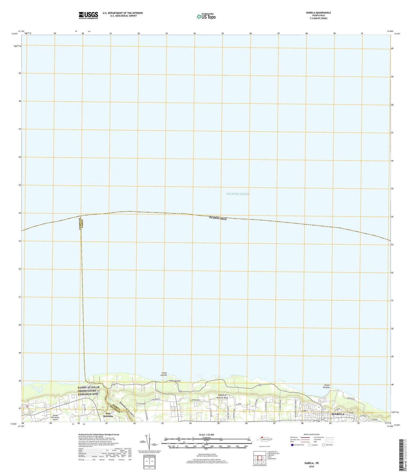
2024 topographic map quadrangle Isabela in the state of Puerto Rico. Scale: 1:20000. Based on the newly updated USGS 7.5' US Topo map series, this map is in the following counties: Isabela, Aguadilla. The map contains contour data, water features, and other items you are used to seeing on USGS maps, but also has updated roads and other features. This is the next generation of topographic maps. Printed on high-quality waterproof paper with UV fade-resistant inks.
Quads adjacent to this one:
West: Aguadilla OE N
East: Quebradillas OE N
Southeast: Quebradillas
South: Moca
Southwest: Aguadilla
Contains the following named places: Aguacate, Bajura Barrio, Banuchi, Costa Brava, Estadio Felix Mantilla, Foso Jacinto, Guayabos Barrio, Isabela, Isabela Barrio-Pueblo, Isabela Post Office, Isabela Zona Urbana, Jardin Caribe, Jardines del Noreste, Jobos Comunidad, Lamela, Municipio de Isabela, Punta Jacinto, Punta Sardina, Quebrada de los Cedros, Saint Anthony de Padua Church, Saint Anthony School, Santa Barbara, Tribunal General de Justica, Villa Pesquera, WISA-AM (Isabela)


