MyTopo
Isla de Mona OE E Puerto Rico US Topo Map
Regular price
$16.95
Regular price
Sale price
$16.95
Unit price
per
Couldn't load pickup availability
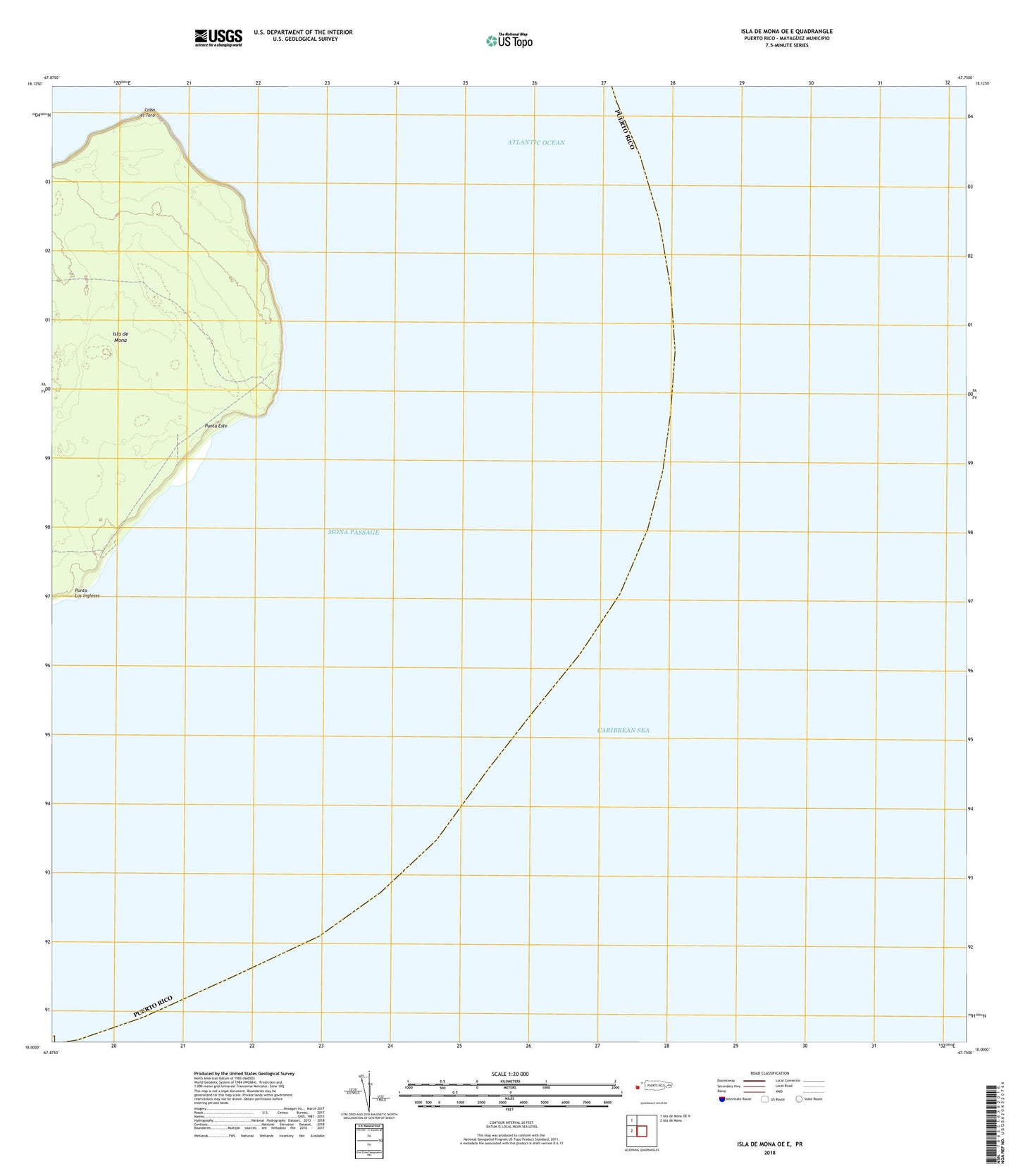
2024 topographic map quadrangle Isla de Mona OE E in the state of Puerto Rico. Scale: 1:20000. Based on the newly updated USGS 7.5' US Topo map series, this map is in the following counties: Mayag��ez. The map contains contour data, water features, and other items you are used to seeing on USGS maps, but also has updated roads and other features. This is the next generation of topographic maps. Printed on high-quality waterproof paper with UV fade-resistant inks.
Quads adjacent to this one:
West: Isla de Mona
Northwest: Isla de Mona OE N
Contains the following named places: Cabo el Toro, Camino del Faro, Los Corrales de los Indios, Mona Lighthouse, Playa de Pajaros, Punta Este