
MyTopo
Narragansett Pier OE S Rhode Island US Topo Map
Couldn't load pickup availability
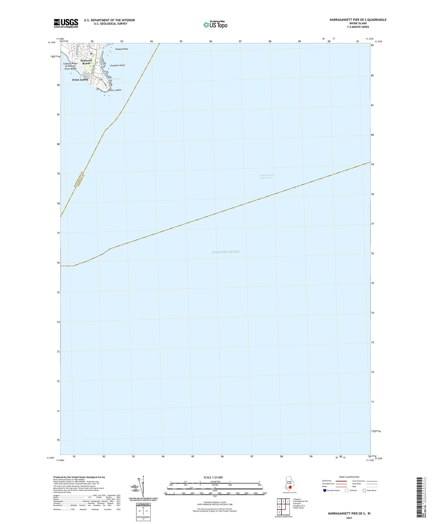
2024 topographic map quadrangle Narragansett Pier OE S in the state of Rhode Island. Scale: 1:24000. Based on the newly updated USGS 7.5' US Topo map series, this map is in the following counties: Washington, Newport. The map contains contour data, water features, and other items you are used to seeing on USGS maps, but also has updated roads and other features. This is the next generation of topographic maps. Printed on high-quality waterproof paper with UV fade-resistant inks.
Quads adjacent to this one:
West: Kingston OE S
Northwest: Kingston
North: Narragansett Pier
Northeast: Newport
Southwest: Block Island
Contains the following named places: Captain Roger W Wheeler State Beach, Champlin Rock, Money Pond, Peaked Rock, Point Judith, Point Judith Lighthouse, Sand Hill, Seaweed Beach


