MyTopo
Hebron Crossroads South Carolina US Topo Map
Couldn't load pickup availability
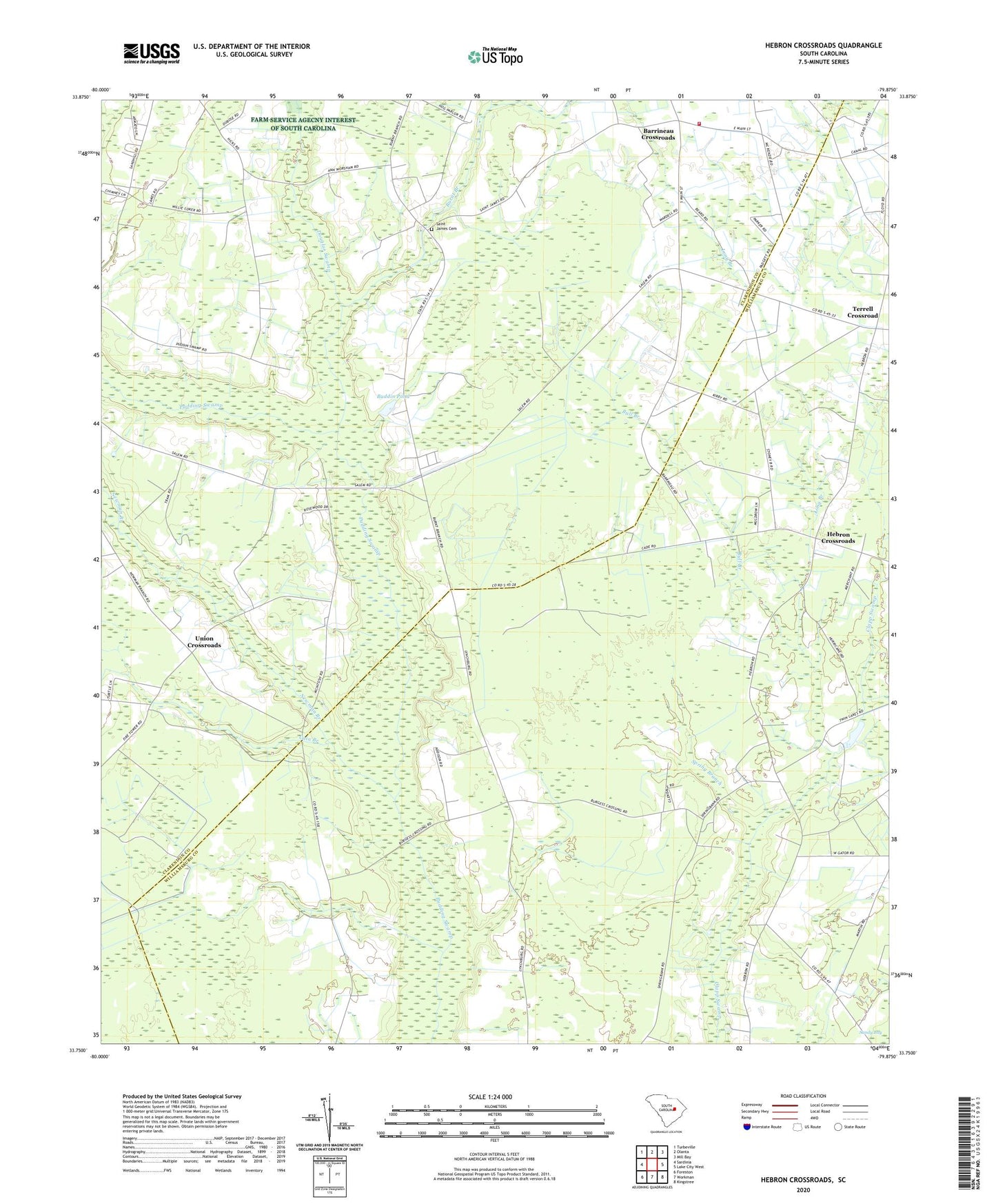
2020 topographic map quadrangle Hebron Crossroads in the state of South Carolina. Scale: 1:24000. Based on the newly updated USGS 7.5' US Topo map series, this map is in the following counties: Clarendon, Williamsburg. The map contains contour data, water features, and other items you are used to seeing on USGS maps, but also has updated roads and other features. This is the next generation of topographic maps. Printed on high-quality waterproof paper with UV fade-resistant inks.
Quads adjacent to this one:
West: Sardinia
Northwest: Turbeville
North: Olanta
Northeast: Mill Bay
East: Lake City West
Southeast: Kingstree
South: Workman
Southwest: Foreston
Contains the following named places: Barrineau Church, Barrineau Crossroads, Barrineau School, Bethel Church, Buddin Pond, Buddin Pond Dam D-3485, Bull Branch, Burnt Branch, Burnt Branch School, Cain Branch, Clarendon County Rural Fire Department Barrineau Station, Douglas Fork Church, Douglas School, Douglas Swamp, Floyd Tabernacle, Goodwill Church, Hebron Crossroads, Hebron Methodist Church, Hebron School, Hickory Grove Church, Hicks School, Holly Tree Plantation, Long Branch, McIntosh Airport, Newman Branch, Pine Grove Church, Saint James Cemetery, Saint James Church, Saint John School, Saint Johns Church, Saint Mark School, Sandy Grove Church, Sandy Grove School, Spring Bank Plantation, Spring Branch, Terrell Crossroad, The Mother Church, Turbeville Division, Union Church, Union Crossroads