MyTopo
Oak Grove South Carolina US Topo Map
Couldn't load pickup availability
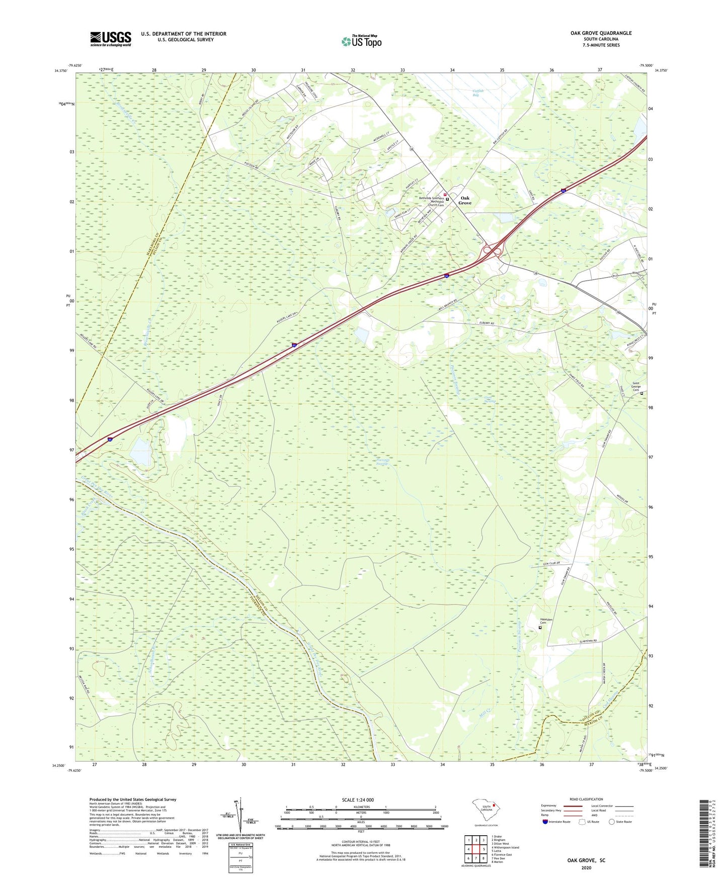
2020 topographic map quadrangle Oak Grove in the state of South Carolina. Scale: 1:24000. Based on the newly updated USGS 7.5' US Topo map series, this map is in the following counties: Dillon, Florence, Marlboro, Marion. The map contains contour data, water features, and other items you are used to seeing on USGS maps, but also has updated roads and other features. This is the next generation of topographic maps. Printed on high-quality waterproof paper with UV fade-resistant inks.
Quads adjacent to this one:
West: Witherspoon Island
Northwest: Drake
North: Bingham
Northeast: Dillon West
East: Latta
Southeast: Marion
South: Pee Dee
Southwest: Florence East
Contains the following named places: Bethesda Church, Bethesda Southern Methodist Church Cemetery, Black Creek, Brownsville Creek, Coleman Pond Dam D-3603, Dillon County Fire Department Station 9, Dunnams Plantation, Fore Pond Dam D-3599, Gum Swamp, Haselden Cemetery, Little Bluff Landing, Mill Creek Church, Oak Grove, Oak Grove Church, Oak Grove School, Piney Grove Church, Poccosin Swamp, Saint George Cemetery, Schoolhouse Branch