MyTopo
Wilkinsville South Carolina US Topo Map
Couldn't load pickup availability
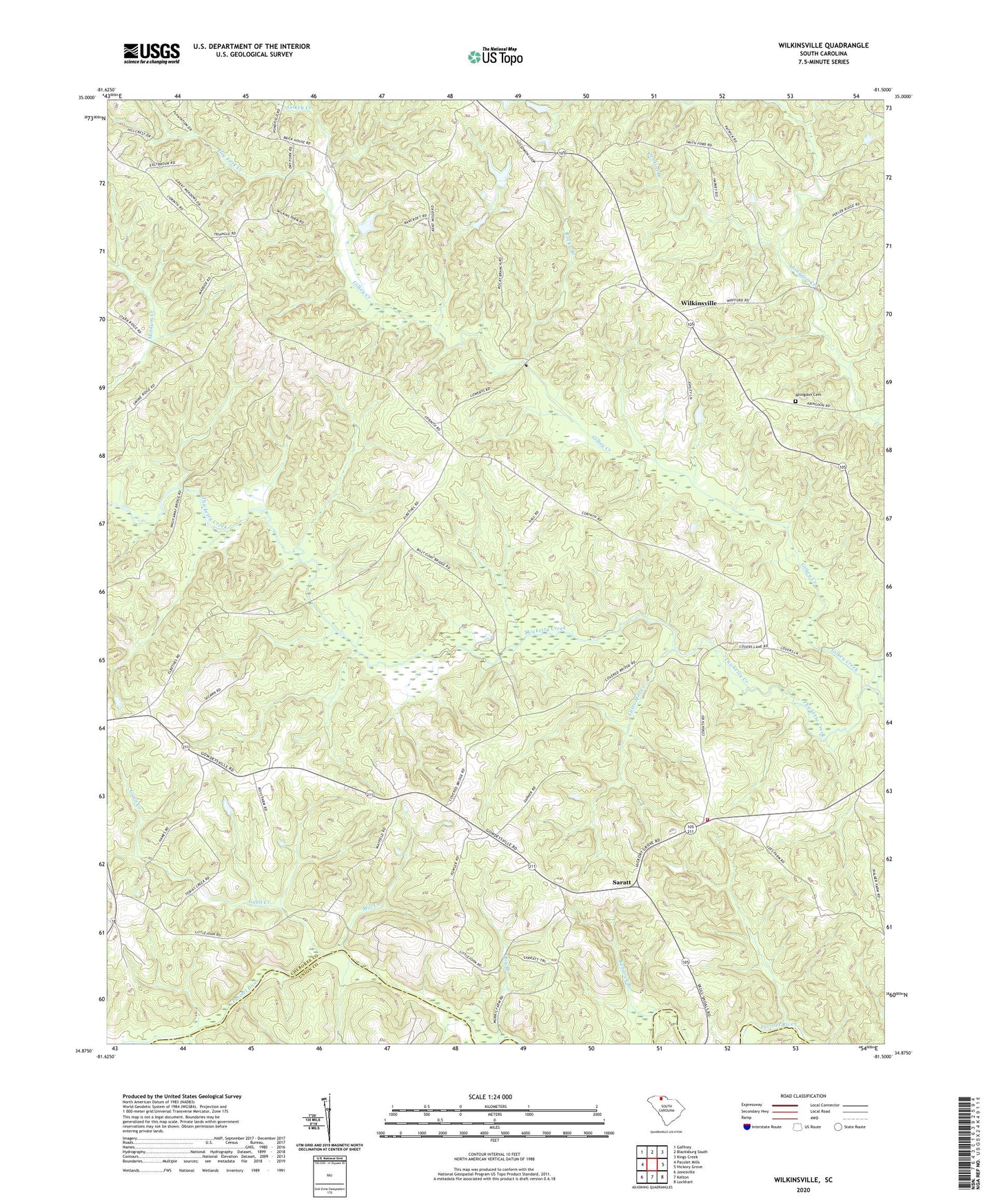
2020 topographic map quadrangle Wilkinsville in the state of South Carolina. Scale: 1:24000. Based on the newly updated USGS 7.5' US Topo map series, this map is in the following counties: Cherokee, Union. The map contains contour data, water features, and other items you are used to seeing on USGS maps, but also has updated roads and other features. This is the next generation of topographic maps. Printed on high-quality waterproof paper with UV fade-resistant inks.
Quads adjacent to this one:
West: Pacolet Mills
Northwest: Gaffney
North: Blacksburg South
Northeast: Kings Creek
East: Hickory Grove
Southeast: Lockhart
South: Kelton
Southwest: Jonesville
Contains the following named places: Abingdon Cemetery, Abingdon Creek Church, Abingdon School, Big Branch, Brick House Farms, Brown Chapel, Cartum Branch, Dry Fork Creek, El Bethel Baptist Church, Gault Creek, Gilkey Creek, Gowdeysville, Gowdeysville Baptist Church, Gowdeysville Baptist Church Graveyard, Gowdeysville School, Jenkins Branch, Kendrick Branch, Lusts Mill Creek, Mesopotamia Church, Mill Creek, Mount Tabor Baptist Church, Peter Hawk Creek, Piney Grove Church, Rehobeth Church, Rehoboth Baptist Church Graveyard, Rocky Branch, Saratt, Skull Shoals Baptist Church, Skull Shoals Baptist Church Graveyard, South Carolina Noname 11016 D-3419 Dam, South Carolina Noname 11020 D-1431 Dam, South Carolina Noname 11021 D-1432 Dam, Star Farm School, Sunny Side Post Office, Sunnyside School, Twin River Fire Department, Wilkinsville, Wilkinsville Church, Wilkinsville School, ZIP Code: 29340