MyTopo
Pacolet Mills South Carolina US Topo Map
Couldn't load pickup availability
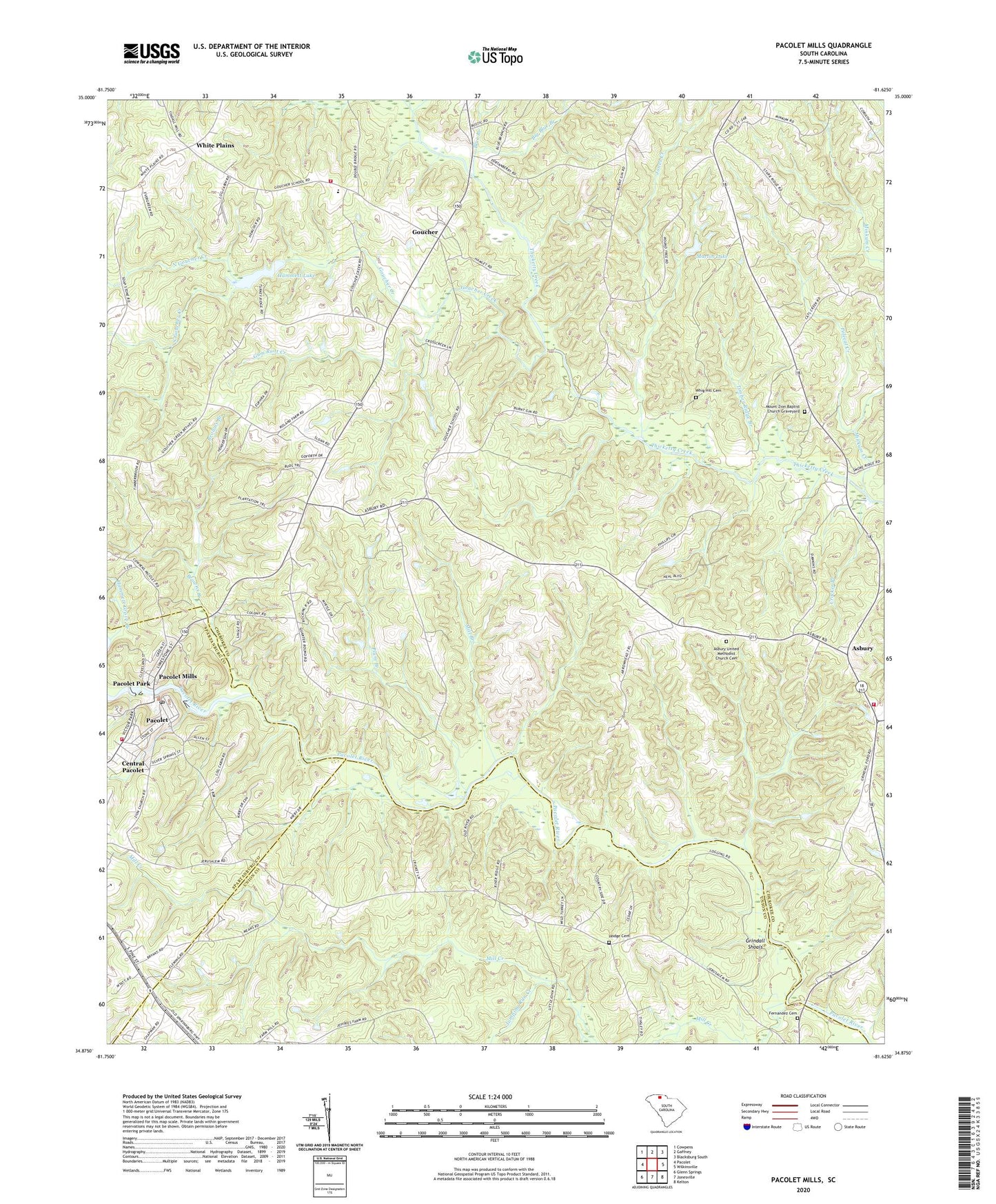
2024 topographic map quadrangle Pacolet Mills in the state of South Carolina. Scale: 1:24000. Based on the newly updated USGS 7.5' US Topo map series, this map is in the following counties: Cherokee, Union, Spartanburg. The map contains contour data, water features, and other items you are used to seeing on USGS maps, but also has updated roads and other features. This is the next generation of topographic maps. Printed on high-quality waterproof paper with UV fade-resistant inks.
Quads adjacent to this one:
West: Pacolet
Northwest: Cowpens
North: Gaffney
Northeast: Blacksburg South
East: Wilkinsville
Southeast: Kelton
South: Jonesville
Southwest: Glenn Springs
This map covers the same area as the classic USGS quad with code o34081h6.
Contains the following named places: Asbury, Asbury Church, Asbury Rehobeth Volunteer Fire Department, Asbury School, Asbury United Methodist Church Cemetery, Big Blue Branch, Blue Branch, Browns Branch, Browns Chapel Baptist Church Cemetery, Central Pacolet, Central School, Crocker Branch, Fernandeis Mill, Fernandez Cemetery, Gists Mill, Goucher, Goucher - White Plains Fire Department, Goucher Baptist Church, Goucher Baptist Church Graveyard, Goucher Creek, Goucher Elementary School, Goucher School, Griffin Hill School, Grindall, Grindall Shoals, Gum Root Creek, Hammett Grove Branch, Hammett Lake, Hancockville, Hodge Cemetery, Jerusalem Baptist Church Graveyard, Jerusalem Church, Jerusalem School, Jones Creek, Jumping Run Creek, Knuckles Chapel, Knuckles Chapel Baptist Church Cemetery, Limestone Creek, Lindsey School, Little Thicketty Creek, Love Springs Church, Martin Lake, Midway Church, Mill Branch, Mill Creek, Minkum Creek, Mount Zion Baptist Church, Mount Zion Baptist Church Graveyard, Mount Zion School, Mulberry Chapel Methodist Church Cemetery, Mulberry Church, Mulberry School, New Mount Zion Baptist Church, New Salem Church, New Salem Zion Baptist Church Graveyard, North Goucher Creek, Pacolet Mills, Pacolet Mills Pond Number One Dam D-3374, Pacolet Mills Pond Number Two Dam D-3375, Pacolet Park, Pacolet Reservoir, Pacolet Town Fire Department Station 2, Plum Branch, Polecat Creek, Rock Hill School, Saint Johns Church, Sandy Run Creek, Saratt Division, South Carolina Noname 11002 D-3409 Dam, South Carolina Noname 11023 D-3410 Dam, South Goucher Creek, Tate Memorial Baptist Church, Timber Ridge Branch, Timber Ridge School, Whig Hill Cemetery, White Plains, White Plains Baptist Church, White Plains Baptist Church Graveyard, White Plains Baptist Church of Christ, White Plains School, White Plains Schools, ZIP Codes: 29372, 29373


