MyTopo
Avance South Dakota US Topo Map
Couldn't load pickup availability
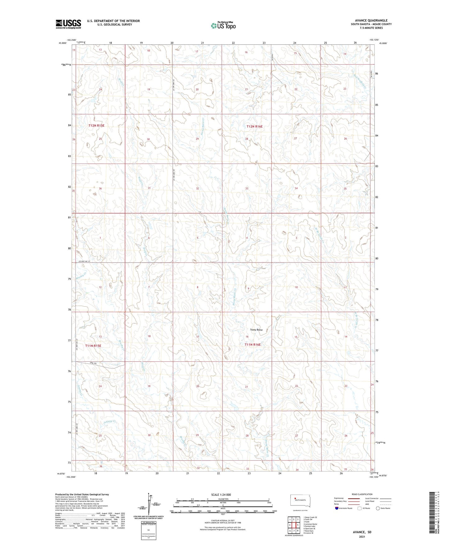
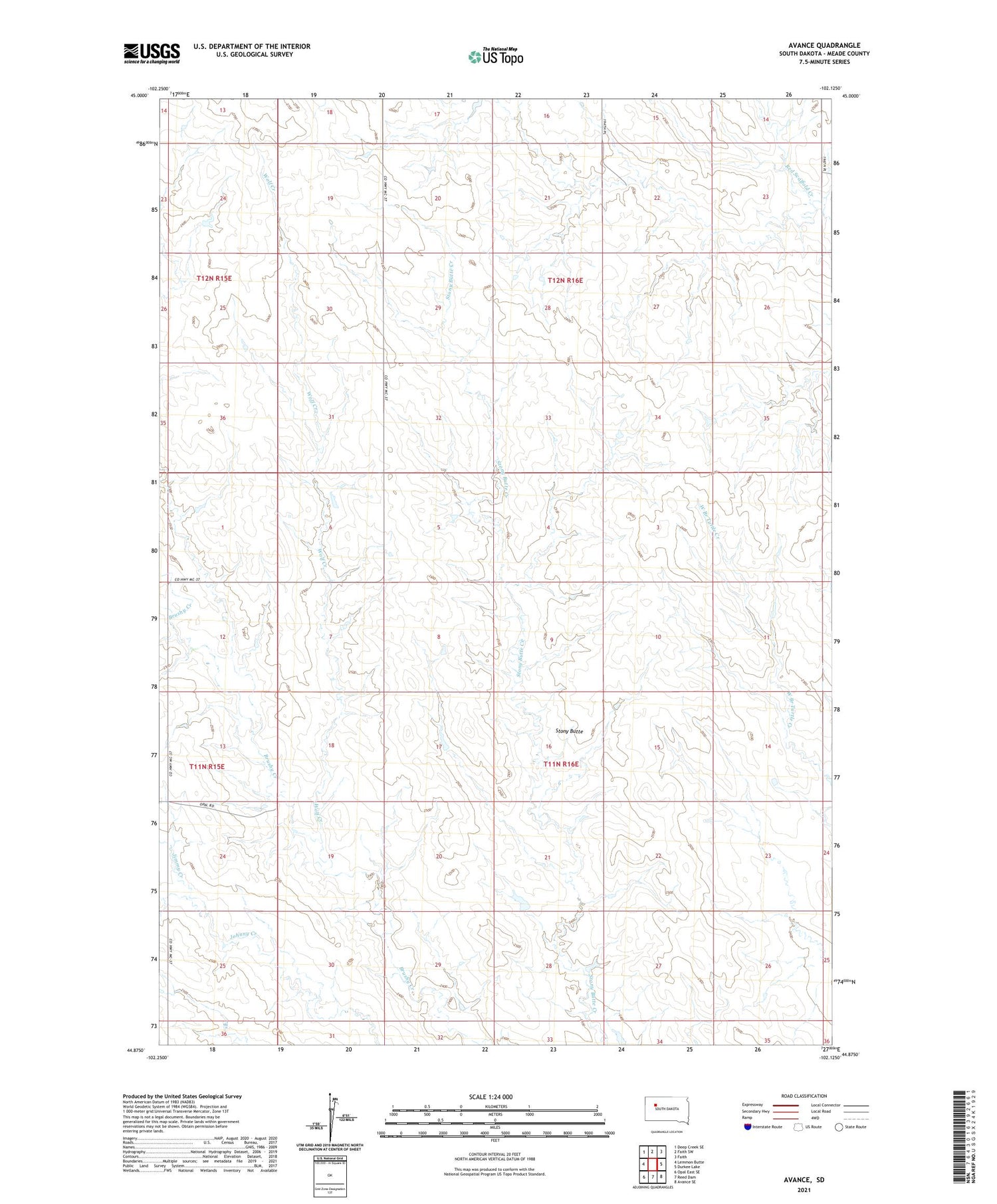
2021 topographic map quadrangle Avance in the state of South Dakota. Scale: 1:24000. Based on the newly updated USGS 7.5' US Topo map series, this map is in the following counties: Meade. The map contains contour data, water features, and other items you are used to seeing on USGS maps, but also has updated roads and other features. This is the next generation of topographic maps. Printed on high-quality waterproof paper with UV fade-resistant inks.
Quads adjacent to this one:
West: Lemmon Butte
Northwest: Deep Creek SE
North: Faith SW
Northeast: Faith
East: Durkee Lake
Southeast: Avance SE
South: Reed Dam
Southwest: Opal East SE
Contains the following named places: Avance, Jimmy Creek, N Overdahl Dam, P Lorang Grazing Association Dam, Stony Butte, Township of Stony Butte, Wolf Creek, ZIP Code: 57626