MyTopo
Reed Dam South Dakota US Topo Map
Couldn't load pickup availability
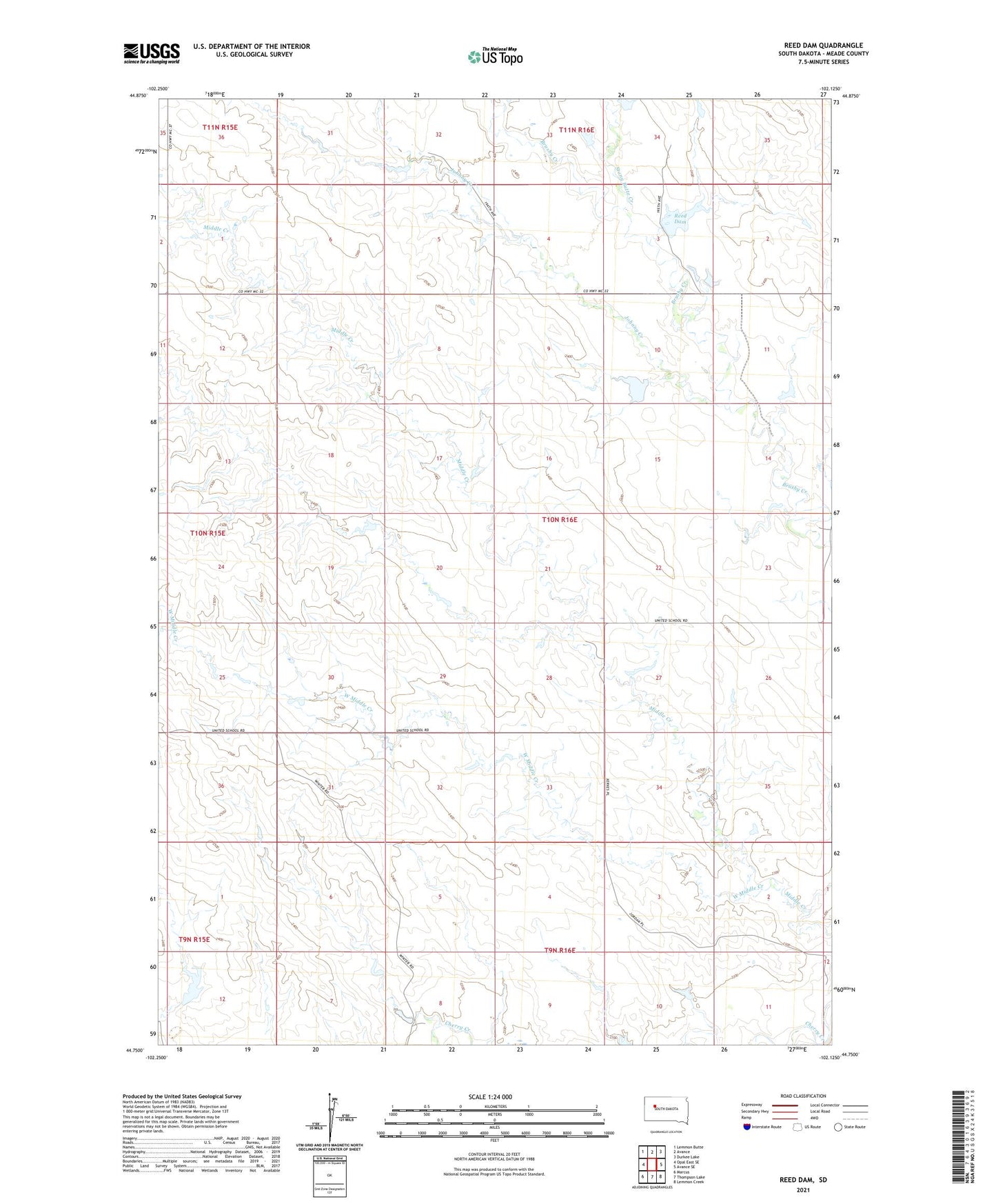
2021 topographic map quadrangle Reed Dam in the state of South Dakota. Scale: 1:24000. Based on the newly updated USGS 7.5' US Topo map series, this map is in the following counties: Meade. The map contains contour data, water features, and other items you are used to seeing on USGS maps, but also has updated roads and other features. This is the next generation of topographic maps. Printed on high-quality waterproof paper with UV fade-resistant inks.
Quads adjacent to this one:
West: Opal East SE
Northwest: Lemmon Butte
North: Avance
Northeast: Durkee Lake
East: Avance SE
Southeast: Lemmon Creek
South: Thompson Lake
Southwest: Marcus
This map covers the same area as the classic USGS quad with code o44102g2.
Contains the following named places: A Oakland Dam, C Jordan Dam, J Reed Dam, Johnny Creek, Reed Dam, Stony Butte Creek, T Mahaffey Dam, T Sternard Dam, United School, West Middle Creek