MyTopo
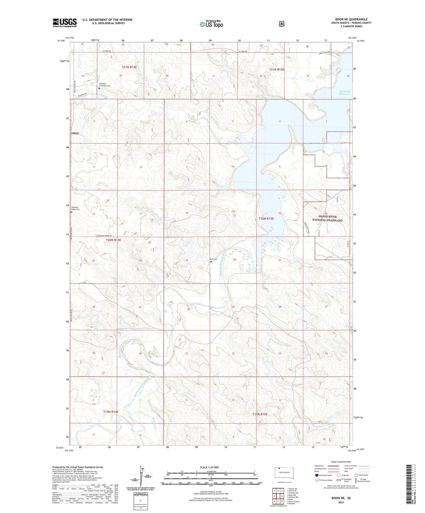
Bison NE South Dakota US Topo Map
Couldn't load pickup availability
Also explore the Bison NE Forest Service Topo of this same quad for updated USFS data
2021 topographic map quadrangle Bison NE in the state of South Dakota. Scale: 1:24000. Based on the newly updated USGS 7.5' US Topo map series, this map is in the following counties: Perkins. The map contains contour data, water features, and other items you are used to seeing on USGS maps, but also has updated roads and other features. This is the next generation of topographic maps. Printed on high-quality waterproof paper with UV fade-resistant inks.
Quads adjacent to this one:
West: Bison NW
Northwest: Haynes SW
North: Haynes SE
Northeast: Summerville
East: Meadow NW
Southeast: Meadow
South: Boxcar Buttes
Southwest: Bison
This map covers the same area as the classic USGS quad with code o45102f3.
Contains the following named places: Butcher Creek, Dell Oliver Dam, Lodgepole Creek, Pleasant Ridge Cemetery, Pleasant Ridge School, Rockford Townhall, Rosebud Lutheran Cemetery, Seim Cemetery, Shadehill Reservoir, Shadehill Reservoir State Recreation Area, South Fork Grand River, Township of Anderson, Unorganized Territory of Northeast Perkins