MyTopo
Black Eyes South Dakota US Topo Map
Couldn't load pickup availability
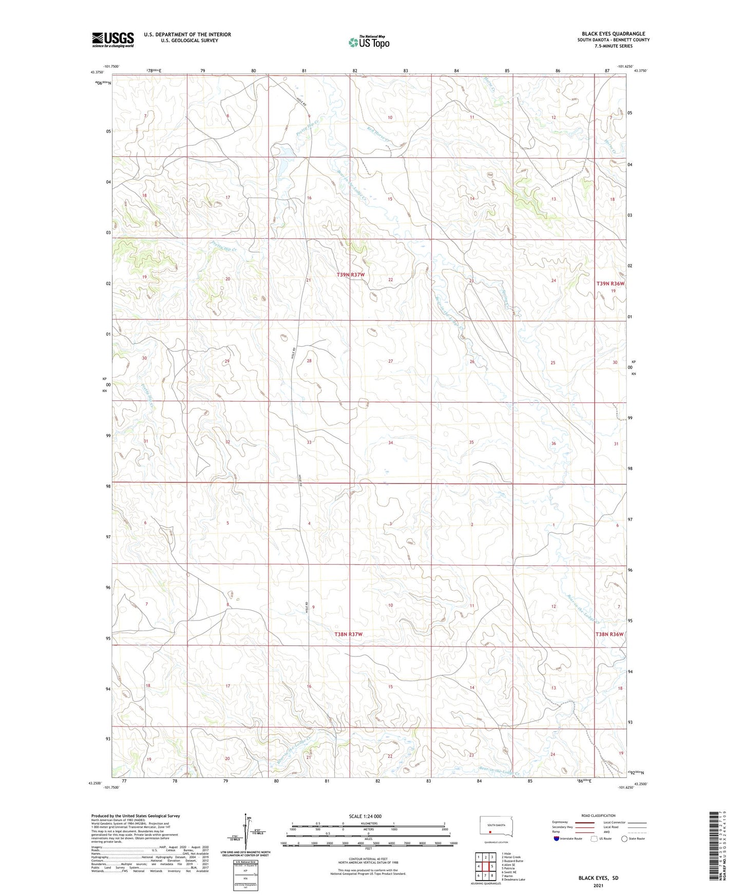
2021 topographic map quadrangle Black Eyes in the state of South Dakota. Scale: 1:24000. Based on the newly updated USGS 7.5' US Topo map series, this map is in the following counties: Bennett. The map contains contour data, water features, and other items you are used to seeing on USGS maps, but also has updated roads and other features. This is the next generation of topographic maps. Printed on high-quality waterproof paper with UV fade-resistant inks.
Quads adjacent to this one:
West: Allen SE
Northwest: Hisle
North: Horse Creek
Northeast: Buzzard Butte
East: Patricia
Southeast: Deadmans Lake
South: Martin
Southwest: Swett NE
Contains the following named places: Bad Hair Creek, Black Eyes, Jacquot Dam, Pretty Hip Creek, Red Horse Creek, Spring Creek