MyTopo
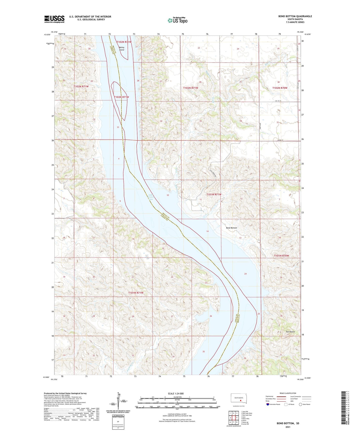
Bond Bottom South Dakota US Topo Map
Couldn't load pickup availability
2021 topographic map quadrangle Bond Bottom in the state of South Dakota. Scale: 1:24000. Based on the newly updated USGS 7.5' US Topo map series, this map is in the following counties: Brule, Lyman. The map contains contour data, water features, and other items you are used to seeing on USGS maps, but also has updated roads and other features. This is the next generation of topographic maps. Printed on high-quality waterproof paper with UV fade-resistant inks.
Quads adjacent to this one:
West: Iona
Northwest: Iona NW
North: Red Lake West
Northeast: Red Lake East
East: Bijou Hills
Southeast: Lucas NW
South: Dixon NE
Southwest: Dixon
Contains the following named places: Austin and Spaulding Ranch, Black Bluffs, Bond Bottom, Bonds Ferry, Elm Creek, Elm Creek Public Use Area, Fivemile Creek, Ola, Phelps Island, Randall Dam, Rosebud Landing, Smith Creek, Twin Butte